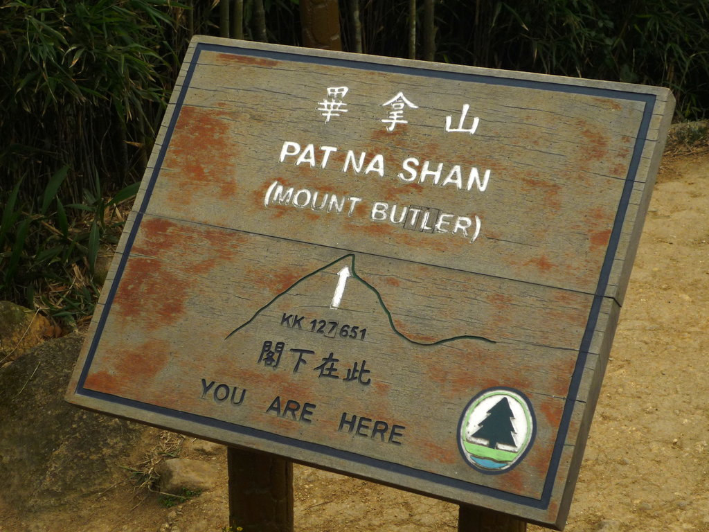
Mount Butler (Chinese: 畢拿山) is a 436 m high hill on Hong Kong Island, Hong Kong.
"Mount Butler H.F. Radio Receiving Station" is situated on Mount Butler. Masts of the stations can be seen from a distance.
Hong Kong Trail Stage 5 passes near the summit of Mount Butler. The best place to start the hike to the summit is from the Parkview Apartment complex. The trail ascends steeply to Jardine's Lookout, continues to climb, then drops down a set of stairs for 10-15 minutes, then ascends steeply alongside a stone quarry. From the summit the view stretches to Lamma Island, Red Hill and Dragon Back Trail. The descent from the summit is to Upper Tai Tam Reservoir. From here the hiker has several options, including continuing on to Stage 6 of the Hong Kong trail, hiking or running to either Violet Hill or the Twins, or hiking out to Repulse Bay. The route has frequent maps, one public bathroom and no water stops so carry sufficient liquids with you.
There's a trail leading to the summit.
By elevation Mount Butler is
# 2 out of 9 in Eastern District # 2 out of 4 in Tai Tam Country Park (Quarry Bay Extension) # 2 out of 13 in Tai Tam Country Park
By prominence Mount Butler is
# 4 out of 9 in Eastern District # 2 out of 4 in Tai Tam Country Park (Quarry Bay Extension) # 5 out of 13 in Tai Tam Country Park
We use GPS information embedded into the photo when it is available.
3D mountains overlay
Adjust mountain panorama to perfectly match your photos because recorded by camera photo position might be imprecise.
Move tool
Rotate tool
Zoom
More customization
Choose which peak labels should make into the final photo and what photo title should be.
Next
Photo Location
Satellitte
Flat map
Relief map
Latitude
Longitude
Altitude
OR
Latitude
°'''
Longitude
°'''
Apply
Register Peak
Peak Name
Latitude
Longitude
Altitude
Register
Teleport
PeakVisor
This 3D model of Sagarmatha National Park in Nepal was made using the PeakVisor app topographic data. The mobile app features higher precision models worldwide, more topographic details, and works offline. Download PeakVisor maps today.
Download OBJ model
PeakVisor
The download should start shortly. If you find it useful please consider supporting the PeakVisor app.
PeakVisor for iOS and Android
Be a superhero of outdoor navigation with state-of-the-art 3D maps and mountain identification in the palm of your hand!