Moon Hill (Chinese: 月亮山; pinyin: Yuèliàng Shān; lit. 'Moonlight Mountain') is a hill with a natural arch through it a few kilometers outside Yangshuo in southern China's Guangxi autonomous region. Moon Hill is part of the Guilin Mountains. It is so named for a wide, semicircular hole through the hill, all that remains of what was once a limestone cave formed in the phreatic zone. Like most formations in the region, it is karst. It is also a popular tourist attraction.
By elevation Moon Hill is
# 5 out of 37 in Yangshuo County # 91 out of 199 in Guangxi
By prominence Moon Hill is
# 4 out of 37 in Yangshuo County # 63 out of 199 in Guangxi
We use GPS information embedded into the photo when it is available.
3D mountains overlay
Adjust mountain panorama to perfectly match your photos because recorded by camera photo position might be imprecise.
Move tool
Rotate tool
Zoom
More customization
Choose which peak labels should make into the final photo and what photo title should be.
Next
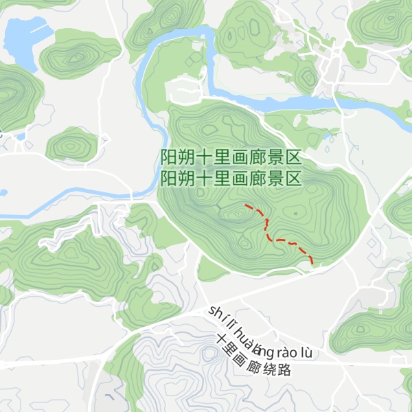
Photo Location
Satellitte
Flat map
Relief map
Latitude
Longitude
Altitude
OR
Latitude
°'''
Longitude
°'''
Apply
Register Peak
Peak Name
Latitude
Longitude
Altitude
Register
Teleport
PeakVisor
This 3D model of Sagarmatha National Park in Nepal was made using the PeakVisor app topographic data. The mobile app features higher precision models worldwide, more topographic details, and works offline. Download PeakVisor maps today.
Download OBJ model
PeakVisor
The download should start shortly. If you find it useful please consider supporting the PeakVisor app.
PeakVisor for iOS and Android
Be a superhero of outdoor navigation with state-of-the-art 3D maps and mountain identification in the palm of your hand!