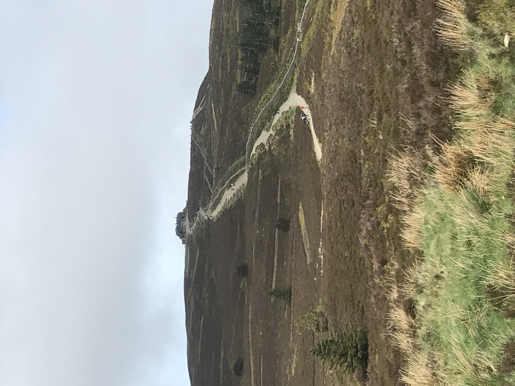
Moel Famau is the highest hill in the Clwydian Range and the highest point (county top) of the county of Flintshire in Wales (both the historic county and the current council area). It lies on the boundary between Denbighshire and Flintshire. The hill, which also gives its name to the Moel Famau country park, has been classed as an Area of Outstanding Natural Beauty since 1985. It is also surrounded by several well-preserved Iron Age hill forts. It is also the fourth-highest peak in the extended AONB of the Clwydian Range and Dee Valley.
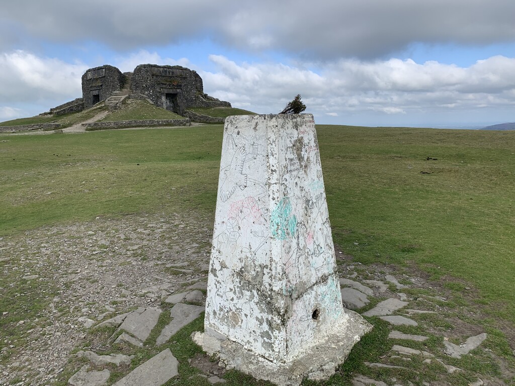
A northern part of the Offa's Dyke long-distance footpath, one of the UK's most popular National Trails, crosses the summit of Moel Famau and the Jubilee Tower. Loggerheads Country Park is nearby.
There's a trail leading to the summit.
By elevation Moel Famau is
# 5 out of 90 in Clwydian Range And Dee Valley AONB # 18 out of 150 in Denbighshire # 1 out of 47 in Flintshire
By prominence Moel Famau is
# 39 out of 3092 in the Wales Mountains # 2 out of 90 in Clwydian Range And Dee Valley AONB # 3 out of 150 in Denbighshire # 1 out of 47 in Flintshire # 39 out of 3083 in Wales
We use GPS information embedded into the photo when it is available.
3D mountains overlay
Adjust mountain panorama to perfectly match your photos because recorded by camera photo position might be imprecise.
Move tool
Rotate tool
Zoom
More customization
Choose which peak labels should make into the final photo and what photo title should be.
Next
Photo Location
Satellitte
Flat map
Relief map
Latitude
Longitude
Altitude
OR
Latitude
°'''
Longitude
°'''
Apply
Register Peak
Peak Name
Latitude
Longitude
Altitude
Register
Teleport
PeakVisor
This 3D model of Sagarmatha National Park in Nepal was made using the PeakVisor app topographic data. The mobile app features higher precision models worldwide, more topographic details, and works offline. Download PeakVisor maps today.
Download OBJ model
PeakVisor
The download should start shortly. If you find it useful please consider supporting the PeakVisor app.
PeakVisor for iOS and Android
Be a superhero of outdoor navigation with state-of-the-art 3D maps and mountain identification in the palm of your hand!