The Mittagstein is a 1,034-metre-high (3,392 ft) mountain peak which rises in the middle of the Kaitersberg in the Bavarian Forest in southern Germany.
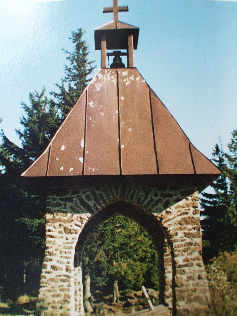
On its forested summit is a chapel built in memory of those who have fallen in war. There is also a rocky viewpoint with views into the Zeller Valley and across to the Großer Riedelstein. Some distance below the highest point is the Kötztinger Hütte belonging to the Bavarian Forest Club (Bayerischer Wald-Verein), which is open during summer months and offers overnight accommodation.
Numerous hiking trails climb the Mittagstein, for example those from Hohenwarth, Bad Kötzting, Bärndorf and Steinbühl. A favourite of hikers is the walk along the length of the Kaitersberg ridge from Bad Kötzting following E6 European long distance path which crosses the Kreuzfelsen, the Mittagstein, the Rauchröhren and the Großer Riedelstein to Ecker Saddle.
There's a trail leading to the summit.
The nearest mountain hut is Kötztinger Hütte located 139m/455ft E of the summit.
By elevation Mittagstein is
# 34 out of 349 in Naturpark Oberer Bayerischer Wald # 34 out of 339 in Landkreis Cham
By prominence Mittagstein is
# 86 out of 349 in Naturpark Oberer Bayerischer Wald # 82 out of 339 in Landkreis Cham
We use GPS information embedded into the photo when it is available.
3D mountains overlay
Adjust mountain panorama to perfectly match your photos because recorded by camera photo position might be imprecise.
Move tool
Rotate tool
Zoom
More customization
Choose which peak labels should make into the final photo and what photo title should be.
Next
Photo Location
Satellitte
Flat map
Relief map
Latitude
Longitude
Altitude
OR
Latitude
°'''
Longitude
°'''
Apply
Register Peak
Peak Name
Latitude
Longitude
Altitude
Register
Teleport
PeakVisor
This 3D model of Sagarmatha National Park in Nepal was made using the PeakVisor app topographic data. The mobile app features higher precision models worldwide, more topographic details, and works offline. Download PeakVisor maps today.
Download OBJ model
PeakVisor
The download should start shortly. If you find it useful please consider supporting the PeakVisor app.
PeakVisor for iOS and Android
Be a superhero of outdoor navigation with state-of-the-art 3D maps and mountain identification in the palm of your hand!