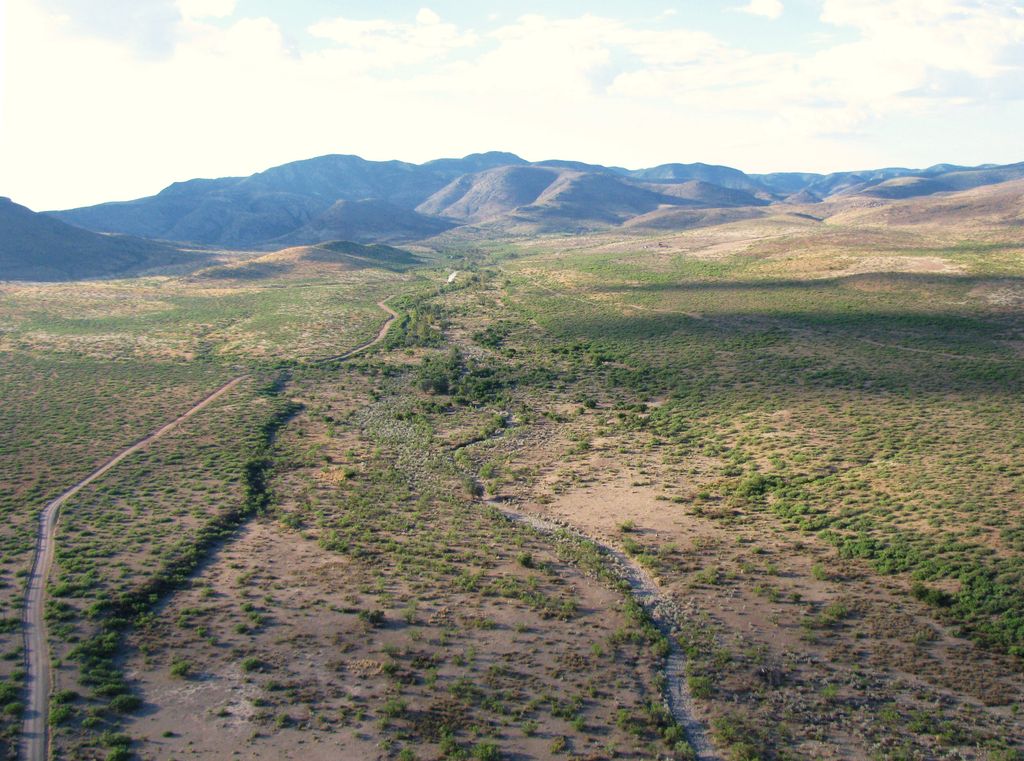
The Peloncillo Mountains of Cochise County (Spanish language pelo, hair, pelon, hairless, bald; peloncillo, Little Baldy) is a mountain range in northeast Cochise County, Arizona. A northern north–south stretch of the range extends to the southern region of Greenlee County on the northeast, and a southeast region of Graham County on the northwest. The north stretch of the Peloncillos forms the border between the two counties. It lies east and northeast of the Willcox Playa, and the San Simon Valley.
The range lies in a region of southeast Arizona and southwest New Mexico called the Madrean Sky Islands.
We use GPS information embedded into the photo when it is available.
3D mountains overlay
Adjust mountain panorama to perfectly match your photos because recorded by camera photo position might be imprecise.
Move tool
Rotate tool
Zoom
More customization
Choose which peak labels should make into the final photo and what photo title should be.
Next
Photo Location
Satellitte
Flat map
Relief map
Latitude
Longitude
Altitude
OR
Latitude
°'''
Longitude
°'''
Apply
Register Peak
Peak Name
Latitude
Longitude
Altitude
Register
Teleport
PeakVisor
This 3D model of Sagarmatha National Park in Nepal was made using the PeakVisor app topographic data. The mobile app features higher precision models worldwide, more topographic details, and works offline. Download PeakVisor maps today.
Download OBJ model
PeakVisor
The download should start shortly. If you find it useful please consider supporting the PeakVisor app.
PeakVisor for iOS and Android
Be a superhero of outdoor navigation with state-of-the-art 3D maps and mountain identification in the palm of your hand!