The Opeongo Hills (sometimes called the Opeongo Mountains or Madawaska Highlands, particularly for the easternmost hills) are a range of hills in Southern Ontario, near Algonquin Provincial Park. The hills stretch from Opeongo Lake in Algonquin Park in the west, along the Madawaska and Opeongo Rivers, towards the Opeongo Colonization Road, and extending towards the Deacon Escarpment (north of Killaloe, Ontario in Renfrew County), Bonnechere, Ontario, and Dacre in the east. To the east of the Opeongo Hills lie the Madawaska River valley, the Mississippi River Valley, and the Ottawa-Bonnechere Graben along the Ottawa River. Its tallest peak is roughly 7 km northeast of Highway 60. At roughly 586 meters, it is the tallest point in Southern Ontario. The community of Foymount (along the former Highway 512, the Opeongo Line) is one of the highest settlements in Southern Ontario.
The Opeongo Hills are a continuation of the Laurentian Highlands, which extend into Eastern Ontario, towards Gananoque, and across the Ottawa River Valley into Quebec, and the Laurentian Mountains, which continue parallel to the St. Lawrence River, north of Montreal, Trois-Rivières and Quebec City.
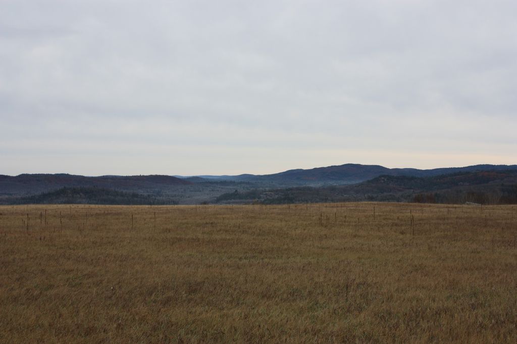
The geography in this area of Central Ontario is dotted with rolling hills and forests with streams, lakes, and small waterfalls, typical of a place in the Canadian Shield.
The first European explorer to visit the region is Samuel de Champlain, in 1615, while exploring the area with the Huron natives. When settlers first started arriving in the area in the late 1790s and early 19th century, land areas were given to settlers by the Canadian Land and Emigration Company for settlement and farming. The soils of the area were not perfectly suited for farming, but small-scale agriculture was able to be conducted on the land. Today, the Opeongo Hills are crossed by many provincial highways, many of which still follow the original Historic Colonization Roads.
We use GPS information embedded into the photo when it is available.
3D mountains overlay
Adjust mountain panorama to perfectly match your photos because recorded by camera photo position might be imprecise.
Move tool
Rotate tool
Zoom
More customization
Choose which peak labels should make into the final photo and what photo title should be.
Next
Photo Location
Satellitte
Flat map
Relief map
Latitude
Longitude
Altitude
OR
Latitude
°'''
Longitude
°'''
Apply
Register Peak
Peak Name
Latitude
Longitude
Altitude
Register
Teleport
PeakVisor
This 3D model of Sagarmatha National Park in Nepal was made using the PeakVisor app topographic data. The mobile app features higher precision models worldwide, more topographic details, and works offline. Download PeakVisor maps today.
Download OBJ model
PeakVisor
The download should start shortly. If you find it useful please consider supporting the PeakVisor app.
PeakVisor for iOS and Android
Be a superhero of outdoor navigation with state-of-the-art 3D maps and mountain identification in the palm of your hand!