The Little Ajo Mountains is a mountain range in southern Arizona, in extreme western Pima County, Arizona. The city of Ajo sits on the northeast of this small mountain range. Both the mountain range and city take their name from the Spanish word for garlic.
The range is a 13 by 13-mile (21 by 21-km) long range and is connected loosely northwest to Childs Mountain a northwest–southeast small mountain at the south of Childs Valley. Ajo, is in the center-east of the range, and is famous for the New Cornelia open pit copper mine located in the Little Ajo Mountains.
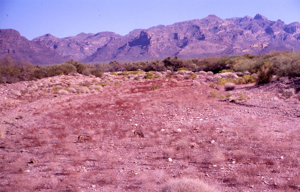
The peaks in the Little Ajo Mountains include the isolated Black Mountain which lies to the south of Ajo and has a peak elevation of 3,008 feet (917 m). Cardigan Peak at 2,922 feet (891 m) lies in the main mountain mass to the west of Ajo. Ajo Peak at 2,619 feet (798 m) and North Ajo Peak 2,776 feet (846 m) are isolated peaks to the southwest of Ajo. Camelback Mountain at 2,573 feet (784 m) lies just south of Ajo and overlooks the New Cornelia pit just to the east.
The Batamote Mountains lie to the northeast, the Pozo Redondo Mountains lie to the east, Bates Mountains and the Ajo Range lie to the south and the Growler Mountains lie to the west.
The Barry M. Goldwater Air Force Range lies to the north and west of the mountains and the Cabeza Prieta National Wildlife Refuge also lies to the west.
We use GPS information embedded into the photo when it is available.
3D mountains overlay
Adjust mountain panorama to perfectly match your photos because recorded by camera photo position might be imprecise.
Move tool
Rotate tool
Zoom
More customization
Choose which peak labels should make into the final photo and what photo title should be.
Next
Photo Location
Satellitte
Flat map
Relief map
Latitude
Longitude
Altitude
OR
Latitude
°'''
Longitude
°'''
Apply
Register Peak
Peak Name
Latitude
Longitude
Altitude
Register
Teleport
PeakVisor
This 3D model of Sagarmatha National Park in Nepal was made using the PeakVisor app topographic data. The mobile app features higher precision models worldwide, more topographic details, and works offline. Download PeakVisor maps today.
Download OBJ model
PeakVisor
The download should start shortly. If you find it useful please consider supporting the PeakVisor app.
PeakVisor for iOS and Android
Be a superhero of outdoor navigation with state-of-the-art 3D maps and mountain identification in the palm of your hand!