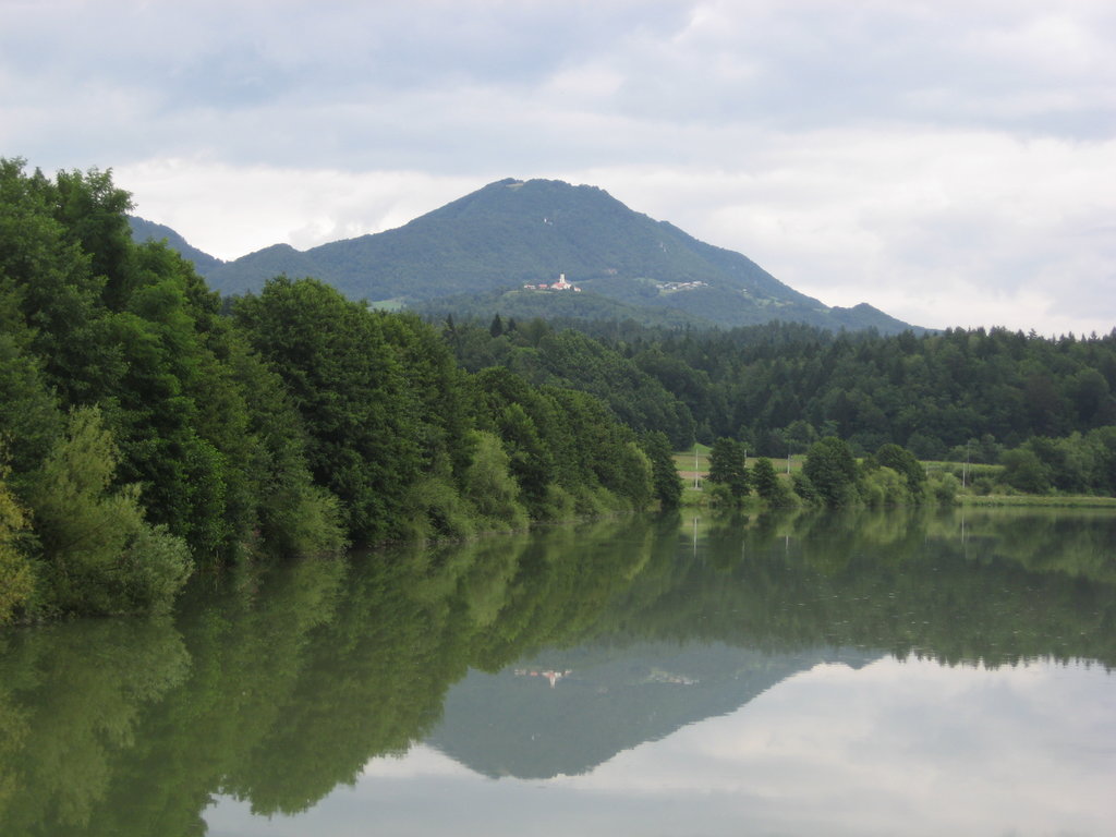
Lisca (pronounced [ˈliːstsa]) is a 948 m (3,110 ft) hill in the eastern part of the Sava Hills in southeastern Slovenia, northwest of Sevnica, north of the Sava, and south of Gračnica Creek. The hill offers a superb view. It is the most frequently visited hiking destination in the Sava Hills.
The hill has two summits: Lisca and Little Lisca (Slovene: Mala Lisca; 934 metres or 3,064 feet). At Lisca there is a meteorological station, the only one in Slovenia with a meteorological radar, and a ski slope. At Mala Lisca, there are three paragliding take-off sites.
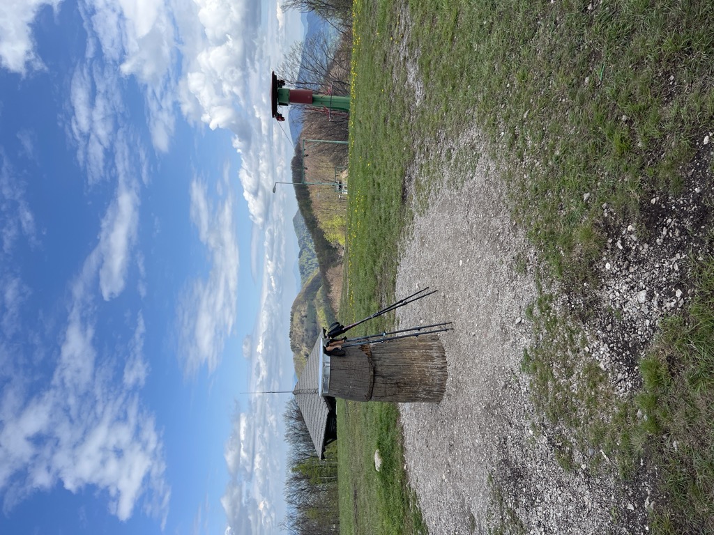
At 927 metres (3,041 ft), the Jurko Lodge (Jurkova koča) stands below the peak, built in 1972 at the site of the previous structures. It is named after Blaž Jurko (1859–1944), an early teacher and hiking pioneer that built the first hut on Lisca in 1902. Next to it stands the Tonček Lodge (Tončkov dom), built in 1952 after the old one was burned during World War II by the Partisans. It was named after Tonček Čebular, the president of the Lisca Sevnica Mountaineering Club, who led the rebuilding. Below the Tonček Lodge there is a chapel dedicated to the Mother of God, built in 1939 at the initiative of Blaž Jurko. Six names are written on plaques around its door: the nieces and nephews of the priest that consecrated it.
The main path leading to the top is the Jurko Trail, named after Blaž Jurko. It leads from the village of Breg (220 metres or 720 feet) through the village of Razbor to the top of Lisca. An asphalt road leads to the Tonček Lodge from a pass (676 metres or 2,218 feet) between the Sava and Gračnica valleys.
The Jurko Trail also leads past a church dedicated to St. Judoc (Slovene: sveti Jošt; 788 metres or 2,585 feet) on the western slope of Lisca. There, three paths leading to the top join. An auction of pork hocks and cured sausage has taken place at St. Judoc's Church every Shrove Sunday since 1997, reviving a tradition that had disappeared for a period.
The company Lisca, a major lingerie manufacturer, is named after the hill.
There's a hiking trail (T1) leading to the summit.
The nearest mountain hut is Jurkova koča na Lisci located 104m/342ft S of the summit.
We use GPS information embedded into the photo when it is available.
3D mountains overlay
Adjust mountain panorama to perfectly match your photos because recorded by camera photo position might be imprecise.
Move tool
Rotate tool
Zoom
More customization
Choose which peak labels should make into the final photo and what photo title should be.
Next
Photo Location
Satellitte
Flat map
Relief map
Latitude
Longitude
Altitude
OR
Latitude
°'''
Longitude
°'''
Apply
Register Peak
Peak Name
Latitude
Longitude
Altitude
Register
Teleport
PeakVisor
This 3D model of Sagarmatha National Park in Nepal was made using the PeakVisor app topographic data. The mobile app features higher precision models worldwide, more topographic details, and works offline. Download PeakVisor maps today.
Download OBJ model
PeakVisor
The download should start shortly. If you find it useful please consider supporting the PeakVisor app.
PeakVisor for iOS and Android
Be a superhero of outdoor navigation with state-of-the-art 3D maps and mountain identification in the palm of your hand!