Get PeakVisor App
Sign In
Search by GPS coordinates
- Latitude
- ° ' ''
- Longitude
- ° ' ''
- Units of Length

Yes
Cancel
❤ Wishlist ×
Choose
Delete
The Slovene Prealps, located in the northern part of Slovenia, bridge the transition between the towering Julian Alps and the rolling hills of the country’s interior. Compared to the Alps, the range is characterized by its lower elevations, generally ranging from 300 to 1,600 meters (1,000 - 5,300 ft), as well as the softer contours of its peaks. Geologically, the Slovene Prealps are composed of a mix of limestone, dolomite, and other sedimentary rocks, creating a landscape of karst plateaus and fertile valleys. There are 2367 named mountains in Slovene Prealps. Porezen (1,632 m / 5,353 ft) is the highest point, while the most prominent mountain is Črni vrh (1,530 m / 5,019 ft).
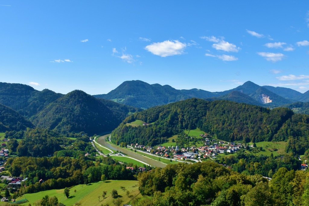
The Slovenian Prealps, known in Slovene as Slovenske Predalpe, Predalpska Slovenija, or Slovenski Predalpski Svet, form a low mountain group in the southern part of the Eastern Alps. Prealps are defined as any foothills located at the base of the Alps across Europe. They serve as the transitional region between the High Alps and the Pannonian Basin (Alpokalja) to the east.
The Slovene Prealps begin south of the Julian Alps and stretch from the Italian border through central Slovenia, continuing west to east and turning northward to reach the Austrian border. The highlands feature valleys, sometimes widening into smaller basins like the Velenje and Slovenj Gradec basins. In the heart of the Prealps lies the Ljubljana Basin.
Due to lower elevations, the climate is less harsh than the higher (and more northerly) alpine areas. It is primarily a temperate continental climate. The Adriatic Sea influences the western Prealps, further moderating temperatures compared to the inland regions. During winter, temperature inversions are common in the basins and valleys where most people live.
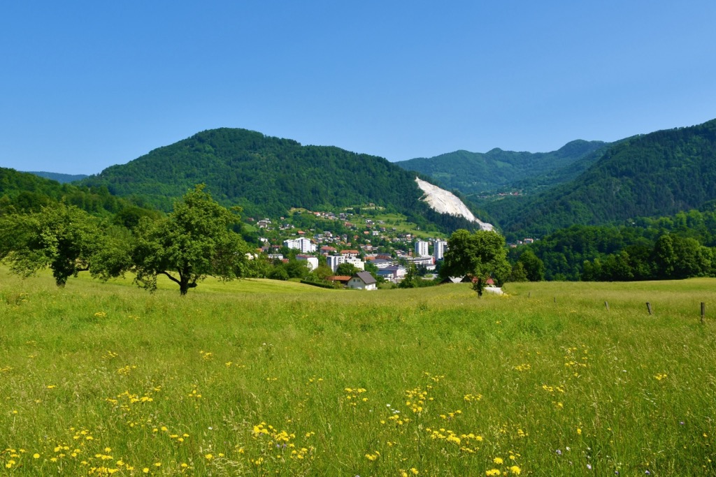
Predalpska Slovenija's rock composition is diverse. The western part is mainly composed of Triassic limestones and dolomites. The eastern part consists of claystone and sandstone, while the northeastern region comprises metamorphic and igneous rocks.
The geological history shows that the area of the Slovene Prealps was tectonically active, featuring deep sea trenches and intervening ridges. Bays from the Pannonian Sea persisted into the Tertiary period, leaving behind Tertiary sediments. As you move eastward, these sediments increasingly dominate, pushing aside older sediments.
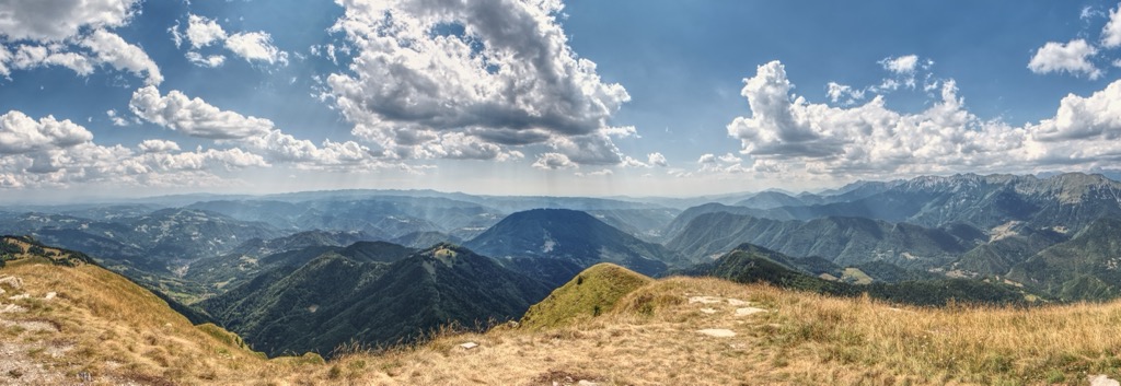
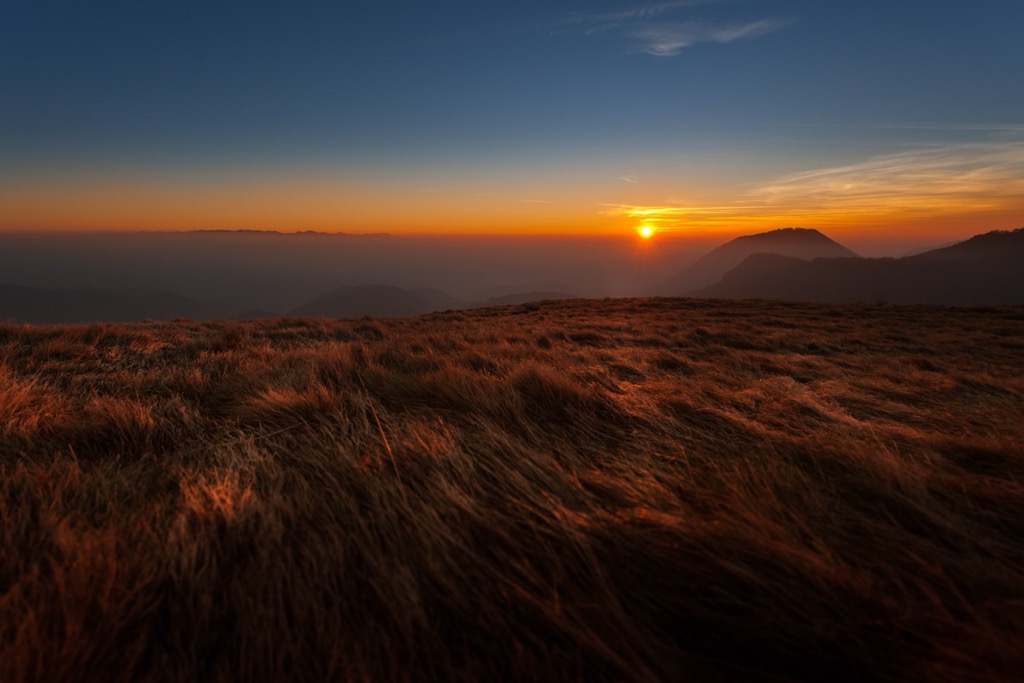
The Slovene Prealps region features rolling hills, lush forests, vast grasslands, and swollen rivers.
Because of human settlement, which extends up to the peaks in some places, forests have been reduced and converted into fields and meadows, particularly on sunny slopes. The reduction is even more pronounced at the bottoms of basins and more extensive valleys, where most of the forests have already been cleared. Because of the excellent grazing conditions, agriculture primarily focuses on livestock.
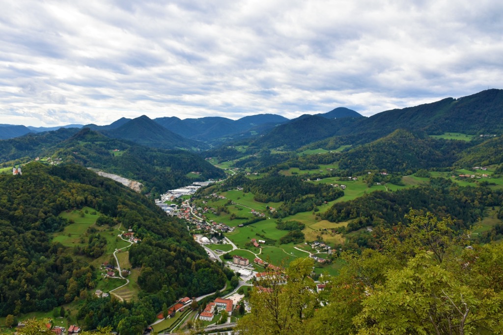
The remaining natural area is home to various plant and animal species, including beech, fir, and spruce forests typical of the region.
Mammals include deer, chamois, and numerous bird species. The brown bear, Slovenia's largest animal, lives up to 30 years and is a flexible omnivore. While it rarely hunts large animals, it feeds on mushrooms, fruits, bulbs, rootstocks, and green plants and particularly enjoys ant and wasp larvae.
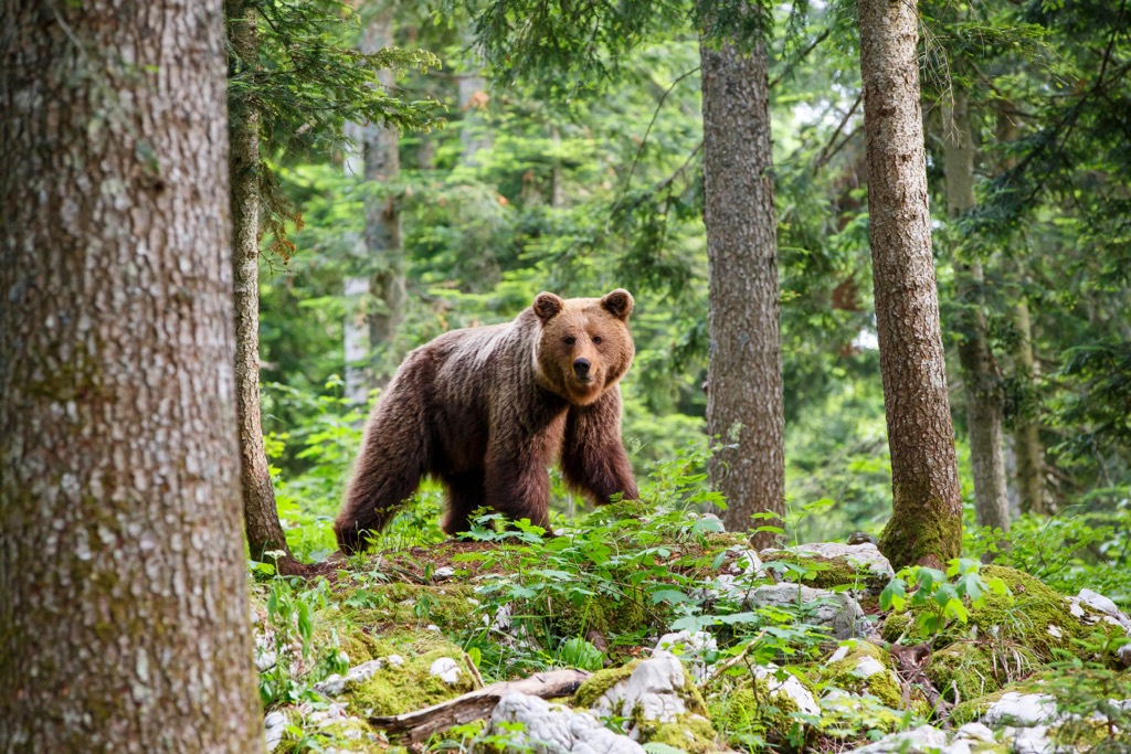
Another crucial apex mammal is the lynx, capable of hunting deer four times its weight. Having once been hunted nearly to extinction in Western and Central Europe, the lynx, wolf, and bear now play an essential role in Slovenia's forest ecosystem.
The Slovene Prealps are known for their small hamlets, clustered villages, and isolated farms. Because of the small farms and challenging living conditions, many young people have moved to the valleys to find work. Industry has developed in larger settlements, such as Slovenj Gradec, Ravne, Železniki, and Cerkno.
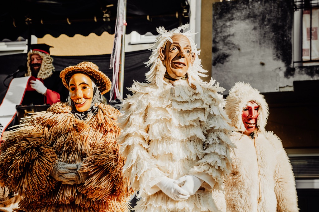
Historically, the pre-Alpine area has been vital for transportation. Before the nineteenth-century railway completion, the Sava River was a significant waterway, as was the Drava Valley between Pohorje and Kozjak. Numerous roads crossing this area have always linked different regions of Slovenia.
Unlike the Alpine regions, settlements here are not limited to the valleys but are found on sunny slopes, extending up to the ridges and peaks. As you move from the valley upward, the settlements get smaller, with more hamlets and isolated farms in place of large villages. Livestock farming, especially dairy and meat production, is more dominant. Fruit growing, especially apples and pears, is important, while vineyards are small and of lower quality.
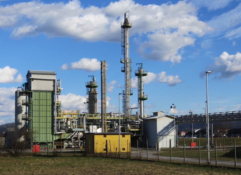
Further south and east, the region is highly industrialized, mainly in the broader valleys and basins. It has rich wood sources, rivers suitable for hydroelectric power, and relatively rich, though mostly depleted, coal reserves. The area features lumber-processing, metal, electrical, chemical, footwear, and food industries.
Nowadays, the mountainous regions of the Prealps offer a rich and diverse range of tourist activities. Winter sports centers, health resorts, and natural and cultural heritage sites like traditional farms are ubiquitous. Rafters and kayakers can enjoy the Soča and Savinja rivers. Additionally, there are many holiday homes due to the attractive landscape.
Often referred to as the ‘bareheaded’ peak, Blegoš stands out in Slovenia’s sub-alpine hills. Renowned for its fantastic views, Blegoš is also home to bunkers from the Italian invasions before World War II.
The hike takes approximately 2.5 hours. The starting point at Črni Kal sits at an elevation of 1,110 m (3,642 ft), leading up to the highest point at 1,562 m (5,125 ft), with a total vertical climb of 450 m (1,476 ft). Črni Kal is a saddle below Blegoš and provides ample parking space but can still become crowded.
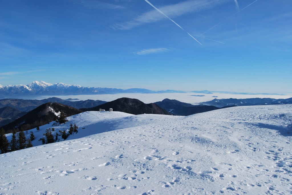
Črni Vrh is the highest peak in the Pohorje mountain range. The summit is predominantly grassy, while the eastern and northern slopes are dotted with low spruce trees. Three tall, interconnected metal crosses mark the peak, and a registration book and stamp are available for hikers.
The sign at the peak indicates its significance as the highest point of Pohorje. You can admire the view of Velika Kopa. The Mislinja Valley stretches to the south, with Paški Kozjak and Graška Gora towering nearby. The Kamnik-Savinja Alps rise majestically in the west.
Porezen is one of the most beautiful and easily accessible peaks in the Slovene Prealps. It is a central point, dividing the Baška Grapa Valley, the Cerkno Region, and the Selška Sora Valley. Below the peak, a mountain hut provides accommodation during the summer months.
Park your car at the small parking lot below the Podhočar Farm. From there, take the trail leading across the meadows into the forest. Follow the marked trail through the woods until you reach Hoč, the first peak of Porezen. Continue along the top ridge to enjoy panoramic views in all directions, proceeding to the mountain hut and the summit.
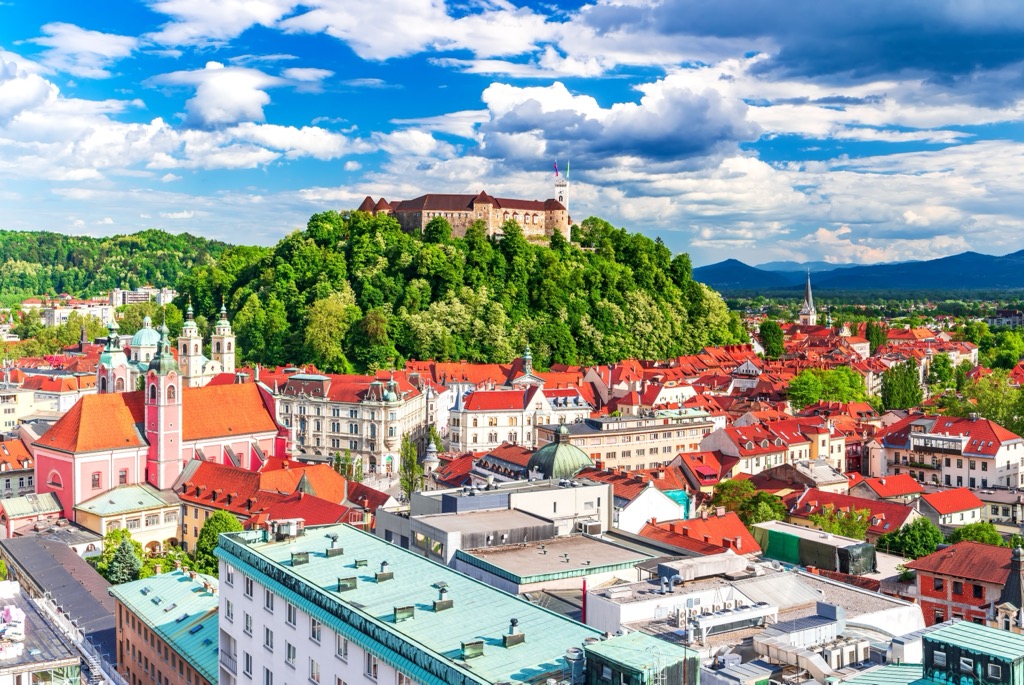
Ljubljana (pop. 300,000), the charming capital of Slovenia, is known for its old town featuring narrow cobblestone streets, baroque buildings, and the Ljubljana Castle overlooking the city. The Ljubljanica River flows through the heart of the city, lined with lively cafes, restaurants, colorful architecture, and the iconic Dragon Bridge.
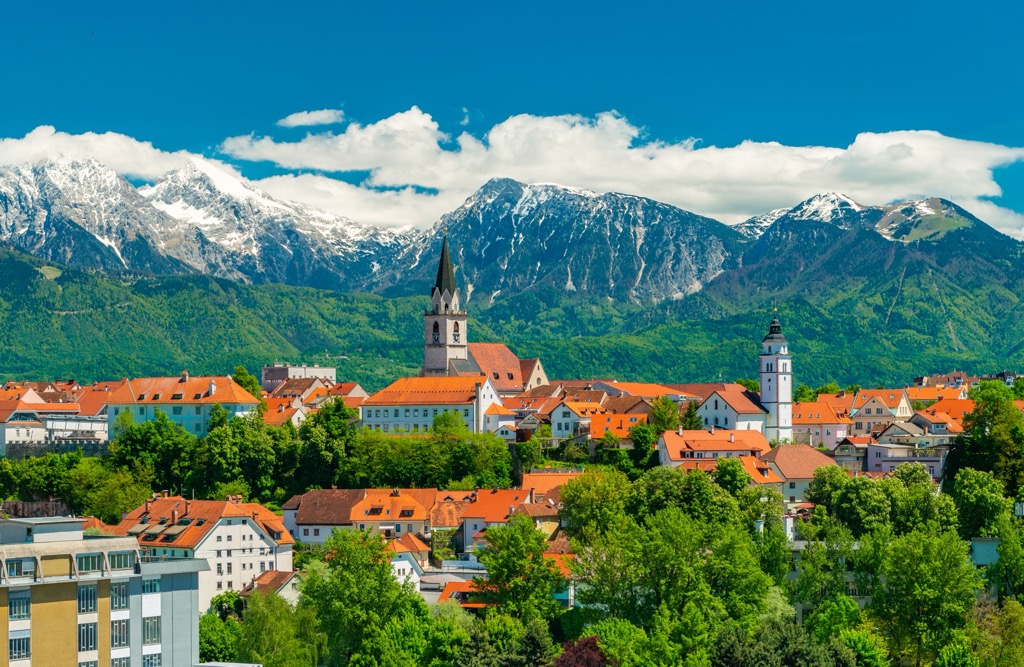
Kranj is Slovenia's fourth-largest city, with a population of approximately 37,000. Situated at the confluence of the Sava and Kokra rivers, Kranj is often called the "Gateway to the Slovenian Alps." The city boasts a charming medieval old town with narrow streets, traditional architecture, and notable landmarks like the 16th-century Khislstein Castle and the Church of St. Cantianus.
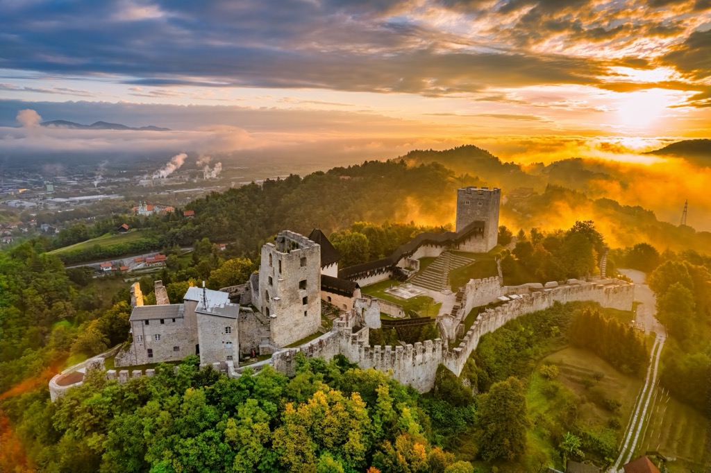
Celje, Slovenia's third-largest city, is home to around 50,000 people and is one of the country’s oldest settlements. Located in the eastern part of the country along the Savinja River, Celje is best known for its impressive medieval castle, Celje Castle, which once served as the seat of the powerful Counts of Celje. The city’s historic core features a blend of well-preserved Gothic, Renaissance, and Baroque architecture, with landmarks such as the Old Manor and the Church of St. Daniel.
Explore Slovene Prealps with the PeakVisor 3D Map and identify its summits.


