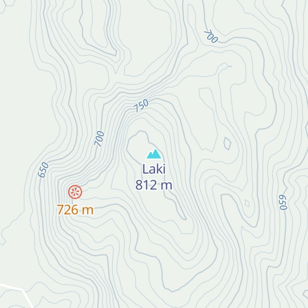
Laki (Icelandic pronunciation: [ˈlaːcɪ] ) or Lakagígar ([ˈlaːkaˌciːɣar̥], Craters of Laki) is a volcanic fissure in the western part of Vatnajökull National Park, Iceland, not far from the volcanic fissure of Eldgjá and the small village of Kirkjubæjarklaustur. The fissure is properly referred to as Lakagígar, while Laki is a mountain that the fissure bisects. Lakagígar is part of a volcanic system centered on the volcano Grímsvötn and including the volcano Þórðarhyrna. It lies between the glaciers of Mýrdalsjökull and Vatnajökull, in an area of fissures that run in a southwest to northeast direction.
The system erupted violently over an eight-month period between June 1783 and February 1784 from the Laki fissure and the adjoining volcano Grímsvötn. It poured out an estimated 42 billion tonnes or 14 km3 (18×10^9 cu yd) of basalt lava as well as clouds of poisonous hydrofluoric acid and sulfur dioxide compounds that contaminated the soil, leading to the death of over 50% of Iceland's livestock population, and the destruction of the vast majority of all crops. This led to a famine which then killed at least a fifth of the island's human population, although some have claimed a quarter.
The Laki eruption and its aftermath caused a drop in global temperatures, as 120 million tonnes of sulfur dioxide was spewed into the Northern Hemisphere. This caused crop failures in Europe and may have caused droughts in North Africa and India.
There's a trail leading to the summit.
By elevation Laki is
# 51 out of 257 in Katla UNESCO Global Geopark # 28 out of 160 in Skaftárhreppur
By prominence Laki is
# 36 out of 257 in Katla UNESCO Global Geopark # 18 out of 160 in Skaftárhreppur # 41 out of 236 in Vatnajökull National Park
We use GPS information embedded into the photo when it is available.
3D mountains overlay
Adjust mountain panorama to perfectly match your photos because recorded by camera photo position might be imprecise.
Move tool
Rotate tool
Zoom
More customization
Choose which peak labels should make into the final photo and what photo title should be.
Next
Photo Location
Satellitte
Flat map
Relief map
Latitude
Longitude
Altitude
OR
Latitude
°'''
Longitude
°'''
Apply
Register Peak
Peak Name
Latitude
Longitude
Altitude
Register
Teleport
PeakVisor
This 3D model of Sagarmatha National Park in Nepal was made using the PeakVisor app topographic data. The mobile app features higher precision models worldwide, more topographic details, and works offline. Download PeakVisor maps today.
Download OBJ model
PeakVisor
The download should start shortly. If you find it useful please consider supporting the PeakVisor app.
PeakVisor for iOS and Android
Be a superhero of outdoor navigation with state-of-the-art 3D maps and mountain identification in the palm of your hand!


.jpg)
.jpg)