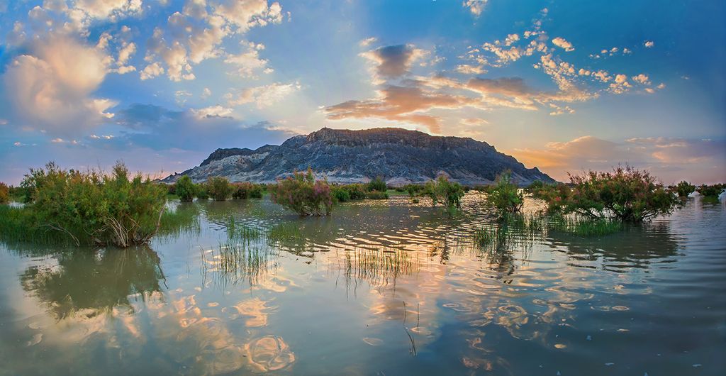
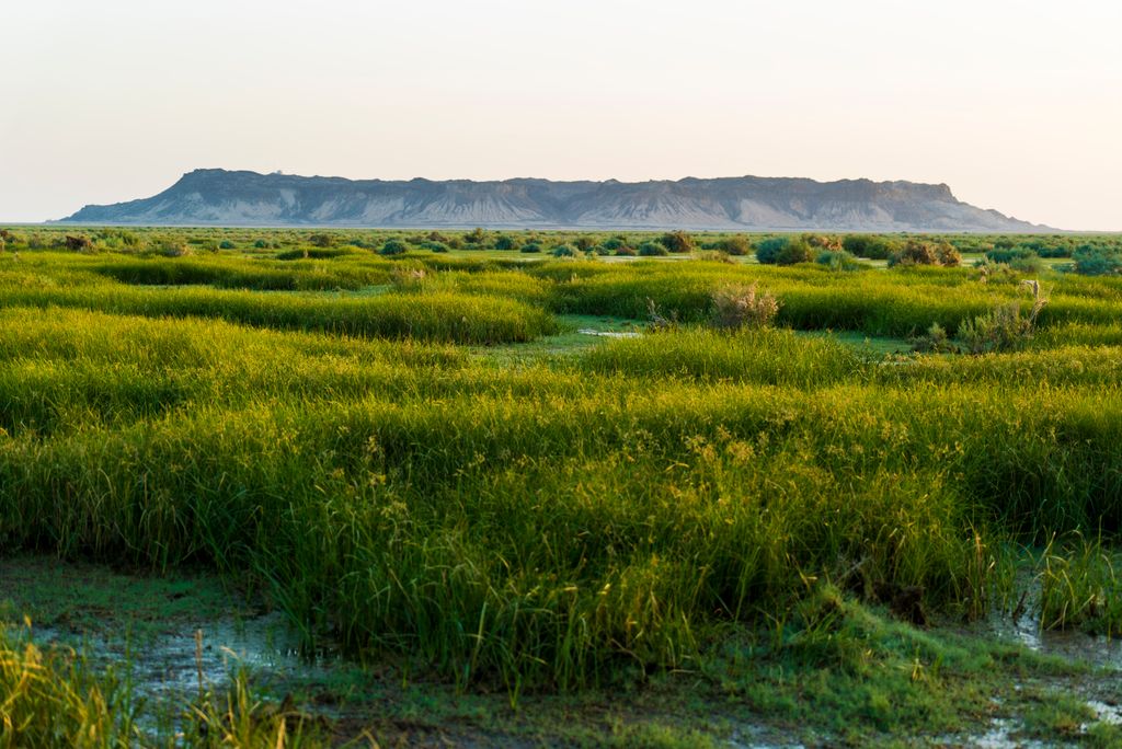
Oshida or Mount Khwaja or Mount Khwajeh (Persian: کوه خواجه, romanized: Kuh-e Khvājeh) is a flat-topped black basalt hill rising up as an island in the middle of Lake Hamun, in the Iranian province of Sistan and Baluchestan.
The trapezoid-shaped basalt lava outcropping, located 30 km southwest of the town of Zabol, rises to 609 meters above sea level and has a diameter ranging from 2.0 to 2.5 kilometres. It is the only natural height in the Sistan area, and is named after an Islamic pilgrimage site on the hill: the tomb and shrine of Khwaja Ali Mahdi, a descendant of Ali ibn Abi Talib.
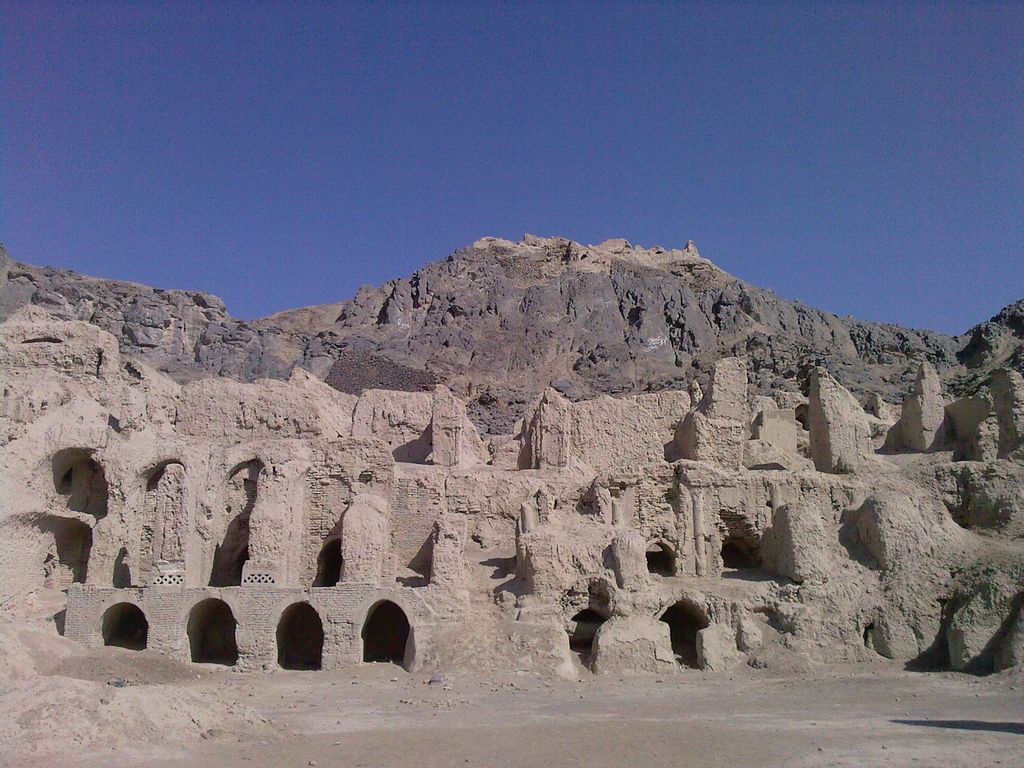
Mount Khwaja is also considered an important archaeological site. On the southern promontory of the eastern slope, the ruins of a citadel complex - known as the Ghagha-Shahr - with its remains of a fire temple date to pre-Islamic Iran. According to Zoroastrian legend, Lake Hamun is "the keeper of Zoroaster's seed." In Zoroastrian eschatology, when the final renovation of the world is near, maidens will enter the lake and then give birth to the saoshyans, the saviours of humankind.
The citadel complex was first investigated by Marc Aurel Stein in 1915–1916. The site was later excavated by Ernst Herzfeld, and was again investigated in part by Giorgio Gullini in a short expedition of 1960. Initially, Herzfeld tentatively dated the palace complex to the 1st century CE, that is, to the Arsacid period (248 BCE-224 CE). Herzfeld later revised his estimate to a later date and today the Sassanid period (224-651 CE) is usually considered to be more likely. Three bas-reliefs on the outer walls that depict riders and horses are attributed to this later period. Beyond the citadel at the top of the plateau are several other unrelated buildings, of uncertain function and probably dating to the Islamic period.
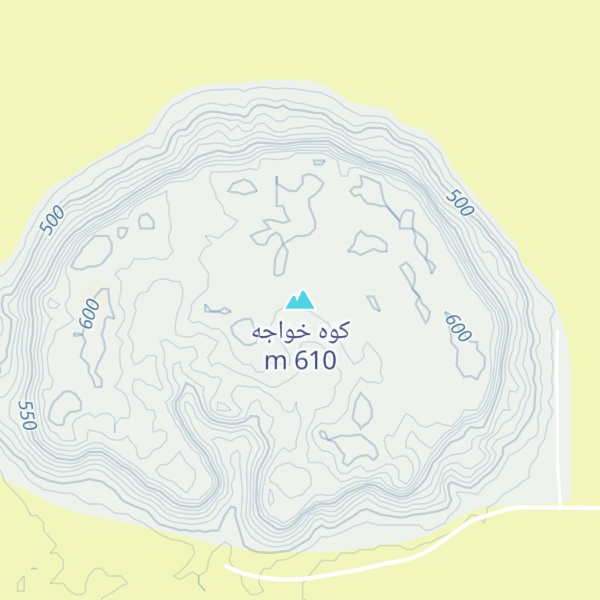
By elevation کوه خواجه is
# 1 out of 1 in Hamun # 1 out of 1 in بخش تیمورآباد
By prominence کوه خواجه is
# 1 out of 1 in Hamun # 1 out of 1 in بخش تیمورآباد
We use GPS information embedded into the photo when it is available.
3D mountains overlay
Adjust mountain panorama to perfectly match your photos because recorded by camera photo position might be imprecise.
Move tool
Rotate tool
Zoom
More customization
Choose which peak labels should make into the final photo and what photo title should be.
Next
Photo Location
Satellitte
Flat map
Relief map
Latitude
Longitude
Altitude
OR
Latitude
°'''
Longitude
°'''
Apply
Register Peak
Peak Name
Latitude
Longitude
Altitude
Register
Teleport
PeakVisor
This 3D model of Sagarmatha National Park in Nepal was made using the PeakVisor app topographic data. The mobile app features higher precision models worldwide, more topographic details, and works offline. Download PeakVisor maps today.
Download OBJ model
PeakVisor
The download should start shortly. If you find it useful please consider supporting the PeakVisor app.
PeakVisor for iOS and Android
Be a superhero of outdoor navigation with state-of-the-art 3D maps and mountain identification in the palm of your hand!