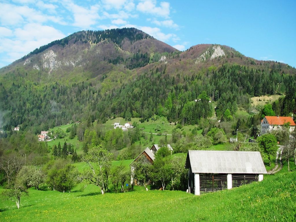
Mount Kojca (pronounced [ˈkoːi̯tsa]) is a 1,303-meter (4,275 ft) mountain in the Cerkno Hills in the municipality of Cerkno in western Slovenia. It stands south of Mount Porezen and its summit offers views of the Cerkno region and the surrounding peaks.
Mount Kojca shares its name with the hamlet of Kojca in Bukovo. The hamlet of Kojca is the oldest attested settlement below Mount Kojca and was formerly the seat of the local parish. In older sources Kojca is referred to as Kožica. The name of the hamlet is believed to derive from the mountain, presumably derived from koza, meaning 'goat', thus 'goat mountain'.
Below the southeast slope of Mount Kojca, in Ravne pri Cerknem, is Ravne Cave (Slovene: Ravenska jama), known for its aragonite helictites (or flos-ferri).
There's a trail leading to the summit. Kojca is one of the 24 peaks along the multi-day Idrijsko - Cerkljanska planinska pot.
By elevation Kojca is
# 55 out of 2292 in the Slovene Prealps
By prominence Kojca is
# 45 out of 9254 in Slovenia # 12 out of 2292 in the Slovene Prealps
We use GPS information embedded into the photo when it is available.
3D mountains overlay
Adjust mountain panorama to perfectly match your photos because recorded by camera photo position might be imprecise.
Move tool
Rotate tool
Zoom
More customization
Choose which peak labels should make into the final photo and what photo title should be.
Next
Photo Location
Satellitte
Flat map
Relief map
Latitude
Longitude
Altitude
OR
Latitude
°'''
Longitude
°'''
Apply
Register Peak
Peak Name
Latitude
Longitude
Altitude
Register
Teleport
PeakVisor
This 3D model of Sagarmatha National Park in Nepal was made using the PeakVisor app topographic data. The mobile app features higher precision models worldwide, more topographic details, and works offline. Download PeakVisor maps today.
Download OBJ model
PeakVisor
The download should start shortly. If you find it useful please consider supporting the PeakVisor app.
PeakVisor for iOS and Android
Be a superhero of outdoor navigation with state-of-the-art 3D maps and mountain identification in the palm of your hand!