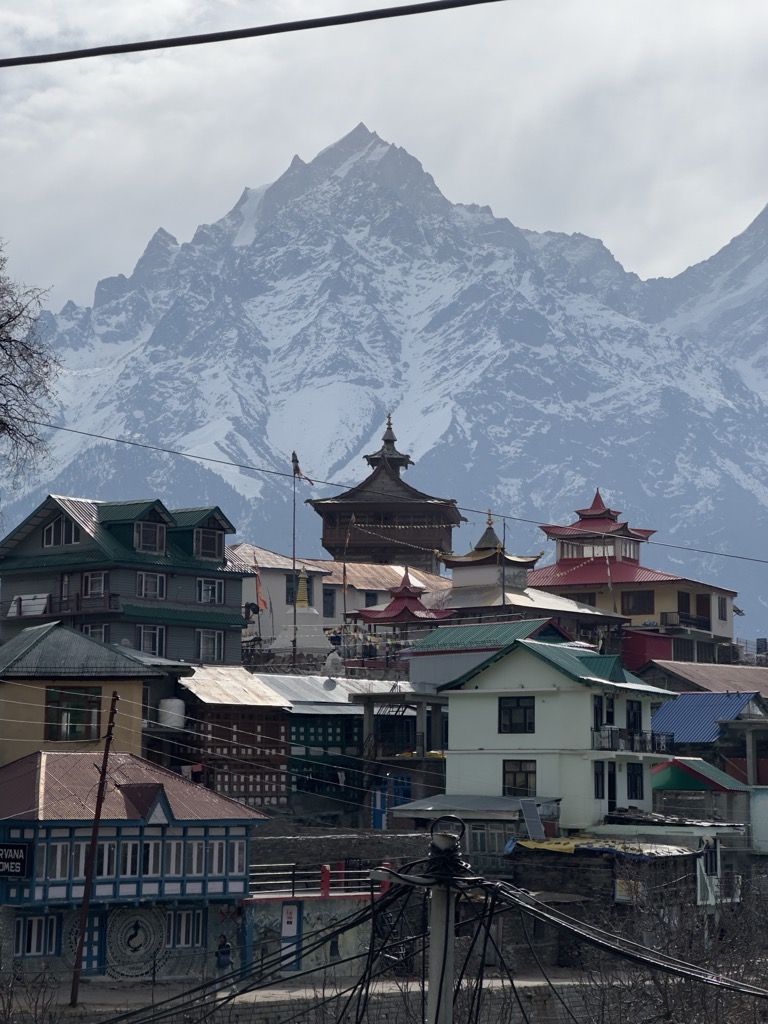
The Kinnaur Kailasha (locally known as Kinner Kailash) is a mountain in the Kinnaur district of the Indian state of Himachal Pradesh. As per Hindu mythology, Lord Shiva and goddess Parvati reside in Kinner Kailash. It is the fourth most important peak among the group of five separate peaks in Himalayas in separate locations collectively known as the Panch Kailash or "Five Kailashas", other being Mount Kailash in first place, Adi Kailash in second, Shikhar Kailash (Shrikhand Mahadev Kailash) in third, and Manimahesh Kailash in fifth place in terms of importance. As a result, it is deeply revered by Hindus. Kinnaur Kailash peak has a height of 6050 meters and is considered sacred by both Hindu and Buddhist Kinnauris. This mountain is sometimes confused with the Mount Kailash in Tibet.
The monolithic pillar (Shivling) is located at an altitude of around 4800 meters.
The Kinnaur Kailash Range borders the district of Kinnaur in the south and is dominated by Jorkanden (elevation- 6473m) peaks. Jorkanden is the highest peak in the Kinner-Kailash range.
We use GPS information embedded into the photo when it is available.
3D mountains overlay
Adjust mountain panorama to perfectly match your photos because recorded by camera photo position might be imprecise.
Move tool
Rotate tool
Zoom
More customization
Choose which peak labels should make into the final photo and what photo title should be.
Next
Photo Location
Satellitte
Flat map
Relief map
Latitude
Longitude
Altitude
OR
Latitude
°'''
Longitude
°'''
Apply
Register Peak
Peak Name
Latitude
Longitude
Altitude
Register
Teleport
PeakVisor
This 3D model of Sagarmatha National Park in Nepal was made using the PeakVisor app topographic data. The mobile app features higher precision models worldwide, more topographic details, and works offline. Download PeakVisor maps today.
Download OBJ model
PeakVisor
The download should start shortly. If you find it useful please consider supporting the PeakVisor app.
PeakVisor for iOS and Android
Be a superhero of outdoor navigation with state-of-the-art 3D maps and mountain identification in the palm of your hand!