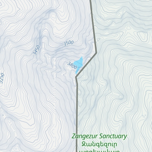
Kaputjugh (Armenian: Կապուտջուղ, lit. 'blue branch'; Azerbaijani: Qapıcıq, lit. 'small door, entrance') is the highest mountain in the Zangezur range, forming the border between the Nakhchivan Autonomous Republic of Azerbaijan and the Syunik Province of Armenia. It has an elevation of 3,905 metres (12,812 ft).
By elevation Kaputjugh is
# 4 out of 2607 in Armenia # 1 out of 485 in Syunik Province # 10 out of 1496 in Azerbaijan # 1 out of 45 in Ordubad District # 1 out of 22 in Zangezur Sanctuary # 4 out of 3017 in the Lesser Caucasus # 11 out of 12621 in the Anatolia
By prominence Kaputjugh is
# 2 out of 2607 in Armenia # 1 out of 485 in Syunik Province # 2 out of 1496 in Azerbaijan # 1 out of 45 in Ordubad District # 1 out of 22 in Zangezur Sanctuary # 2 out of 3017 in the Lesser Caucasus # 12 out of 12621 in the Anatolia # 8 out of 7939 in the Caucasus
We use GPS information embedded into the photo when it is available.
3D mountains overlay
Adjust mountain panorama to perfectly match your photos because recorded by camera photo position might be imprecise.
Move tool
Rotate tool
Zoom
More customization
Choose which peak labels should make into the final photo and what photo title should be.
Next
Photo Location
Satellitte
Flat map
Relief map
Latitude
Longitude
Altitude
OR
Latitude
°'''
Longitude
°'''
Apply
Register Peak
Peak Name
Latitude
Longitude
Altitude
Register
Teleport
PeakVisor
This 3D model of Sagarmatha National Park in Nepal was made using the PeakVisor app topographic data. The mobile app features higher precision models worldwide, more topographic details, and works offline. Download PeakVisor maps today.
Download OBJ model
PeakVisor
The download should start shortly. If you find it useful please consider supporting the PeakVisor app.
PeakVisor for iOS and Android
Be a superhero of outdoor navigation with state-of-the-art 3D maps and mountain identification in the palm of your hand!