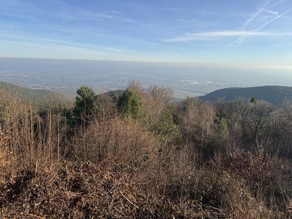
The Kalmit is the highest peak in the Palatinate Forest and the second highest (after the Donnersberg) in the Palatinate region of Germany. It is 672.6 m above sea level (NHN) and located 5.5 kilometres (3.4 mi) south of the town of Neustadt an der Weinstraße.
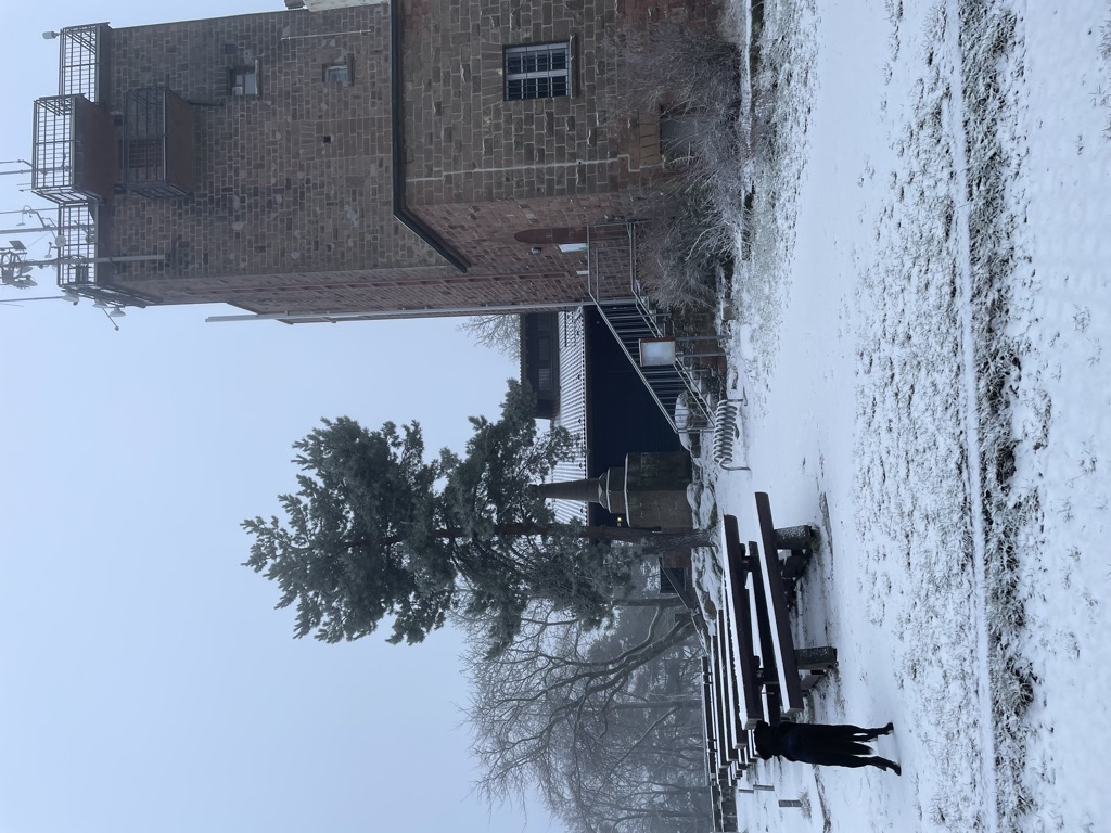
The mountain attracts many tourists thanks to the numerous footpaths leading to its summit, its mountaintop restaurant, extensive views over the Palatinate wine region and striking rock formations on its forest-clad mountainsides.
There's a trail leading to the summit. Kalmit is one of the 10 peaks along the multi-day Pfälzerwald Roter Punkt.
The nearest mountain hut is Hüttenberghütte located 1 285m/4 215ft WSW of the summit.
By elevation Kalmit is
# 1 out of 753 in Naturpark Pfälzerwald # 38 out of 3148 in Rhineland-Palatinate # 1 out of 182 in Landkreis Südliche Weinstraße
By prominence Kalmit is
# 1 out of 753 in Naturpark Pfälzerwald # 92 out of 37308 in Germany # 4 out of 3148 in Rhineland-Palatinate # 1 out of 182 in Landkreis Südliche Weinstraße # 26 out of 8522 in the North France-West Rhine Area
We use GPS information embedded into the photo when it is available.
3D mountains overlay
Adjust mountain panorama to perfectly match your photos because recorded by camera photo position might be imprecise.
Move tool
Rotate tool
Zoom
More customization
Choose which peak labels should make into the final photo and what photo title should be.
Next
Photo Location
Satellitte
Flat map
Relief map
Latitude
Longitude
Altitude
OR
Latitude
°'''
Longitude
°'''
Apply
Register Peak
Peak Name
Latitude
Longitude
Altitude
Register
Teleport
PeakVisor
This 3D model of Sagarmatha National Park in Nepal was made using the PeakVisor app topographic data. The mobile app features higher precision models worldwide, more topographic details, and works offline. Download PeakVisor maps today.
Download OBJ model
PeakVisor
The download should start shortly. If you find it useful please consider supporting the PeakVisor app.
PeakVisor for iOS and Android
Be a superhero of outdoor navigation with state-of-the-art 3D maps and mountain identification in the palm of your hand!


.jpg)


