Sierra de Javalambre (Aragonese: Sierra de Chabalambre; Arabic: جبل الْحَمْرَاء, romanized: jabal al-ḥamrāʼ )) is a 29 km (18 mi) long mountain range in the Gúdar-Javalambre comarca of Aragon and the Rincón de Ademuz and Serrans comarcas of the Valencian Community, Spain.
Highway N-234 winds its way between Sierra de Javalambre and Serra d'Espadà reaching the coast at Sagunto and the Autopista AP-7.
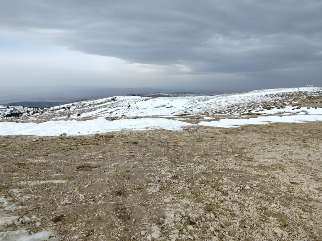
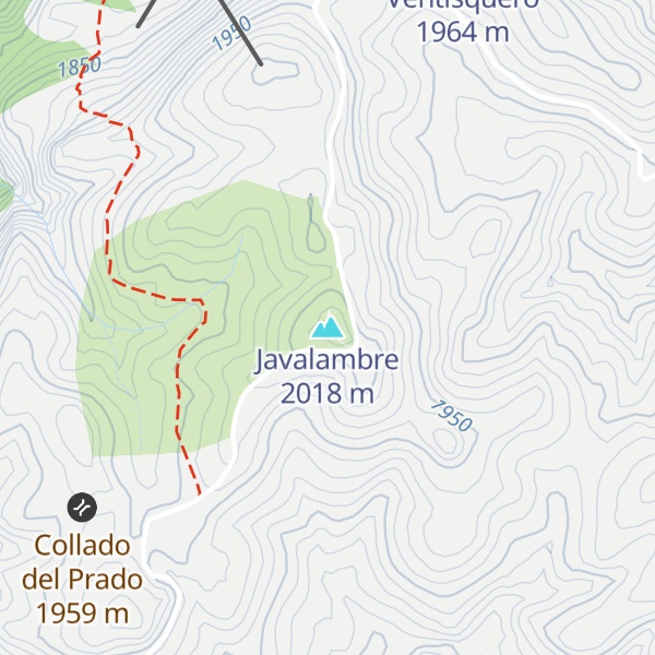
There's a trail leading to the summit. Javalambre is one of the 21 peaks along the multi-day [GR 10] De Valencia a Lisboa.
By elevation Javalambre is
# 2 out of 2134 in Teruel # 53 out of 14197 in the Sistema Iberico
By prominence Javalambre is
# 77 out of 81984 in Spain # 3 out of 2134 in Teruel # 16 out of 5955 in Aragon # 8 out of 14197 in the Sistema Iberico
We use GPS information embedded into the photo when it is available.
3D mountains overlay
Adjust mountain panorama to perfectly match your photos because recorded by camera photo position might be imprecise.
Move tool
Rotate tool
Zoom
More customization
Choose which peak labels should make into the final photo and what photo title should be.
Next
Photo Location
Satellitte
Flat map
Relief map
Latitude
Longitude
Altitude
OR
Latitude
°'''
Longitude
°'''
Apply
Register Peak
Peak Name
Latitude
Longitude
Altitude
Register
Teleport
PeakVisor
This 3D model of Sagarmatha National Park in Nepal was made using the PeakVisor app topographic data. The mobile app features higher precision models worldwide, more topographic details, and works offline. Download PeakVisor maps today.
Download OBJ model
PeakVisor
The download should start shortly. If you find it useful please consider supporting the PeakVisor app.
PeakVisor for iOS and Android
Be a superhero of outdoor navigation with state-of-the-art 3D maps and mountain identification in the palm of your hand!