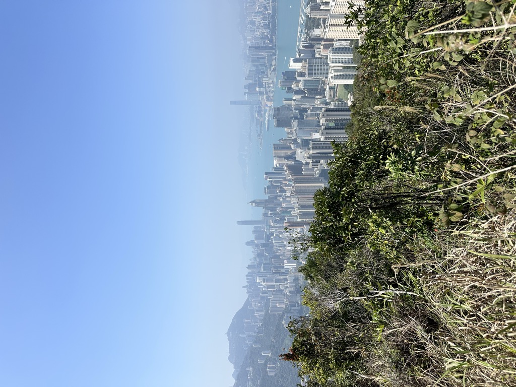
Jardine's Lookout (Chinese: 渣甸山) is a mountain in Wan Chai District, Hong Kong with a height of 433 metres (1,421 ft). It is located east of Happy Valley, south of Causeway Bay, and west of Braemar Hill and north of Tai Tam Country Park.
A low-density, high-end residential area called Jardine's Lookout can be found between Wong Nai Chung Gap and Mount Butler. The residential area of Jardine’s Lookout consists of thirteen roads named after famous British persons during Hong Kong’s colonial times. Addresses on Tai Hang Road, Tai Hang Drive and Chun Fai Road are considered to be Tai Hang Mid-levels or Happy Valley, not Jardine’s Lookout.
Jardine's Lookout is surrounded by several other hills including Mount Nicholson, Violet Hill and Mount Butler.
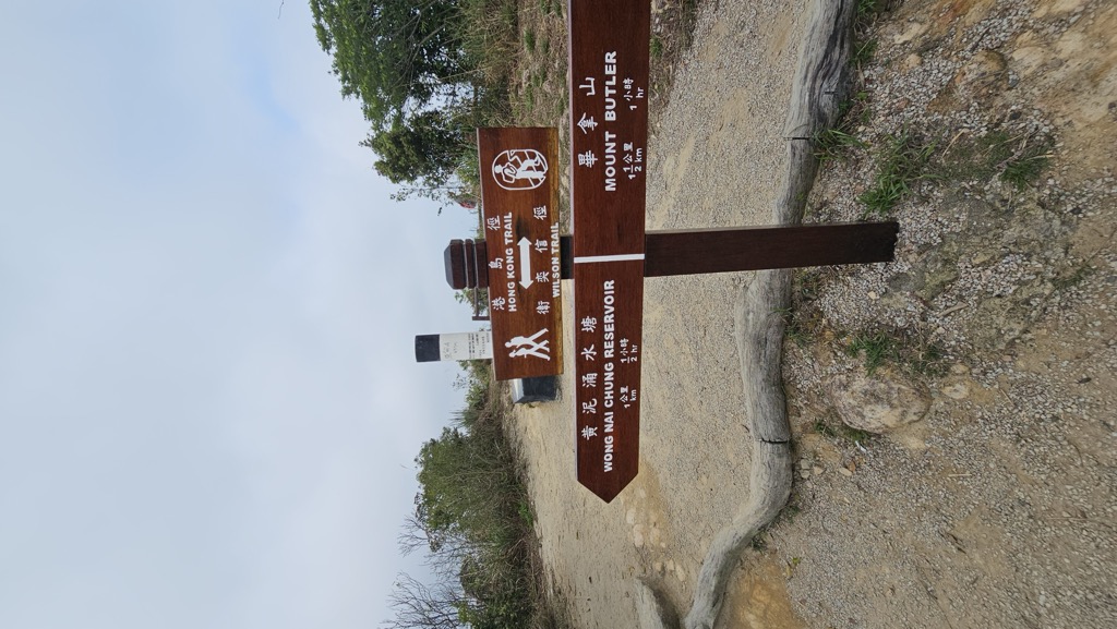
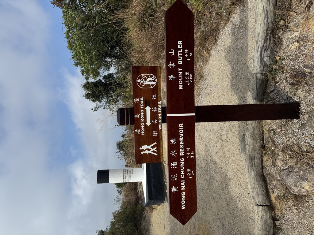
There's a trail called 港島徑第5段 Hong Kong Trail Section 5; 衛奕信徑第2段 Wilson Trail Section 2 leading to the summit. Jardine's Lookout is one of the 2 peaks along the Wilson Trail Section 2.
By elevation Jardine's Lookout is
# 3 out of 9 in Eastern District # 2 out of 7 in Wan Chai District # 3 out of 13 in Tai Tam Country Park
By prominence Jardine's Lookout is
# 2 out of 9 in Eastern District # 3 out of 7 in Wan Chai District # 3 out of 13 in Tai Tam Country Park
We use GPS information embedded into the photo when it is available.
3D mountains overlay
Adjust mountain panorama to perfectly match your photos because recorded by camera photo position might be imprecise.
Move tool
Rotate tool
Zoom
More customization
Choose which peak labels should make into the final photo and what photo title should be.
Next
Photo Location
Satellitte
Flat map
Relief map
Latitude
Longitude
Altitude
OR
Latitude
°'''
Longitude
°'''
Apply
Register Peak
Peak Name
Latitude
Longitude
Altitude
Register
Teleport
PeakVisor
This 3D model of Sagarmatha National Park in Nepal was made using the PeakVisor app topographic data. The mobile app features higher precision models worldwide, more topographic details, and works offline. Download PeakVisor maps today.
Download OBJ model
PeakVisor
The download should start shortly. If you find it useful please consider supporting the PeakVisor app.
PeakVisor for iOS and Android
Be a superhero of outdoor navigation with state-of-the-art 3D maps and mountain identification in the palm of your hand!