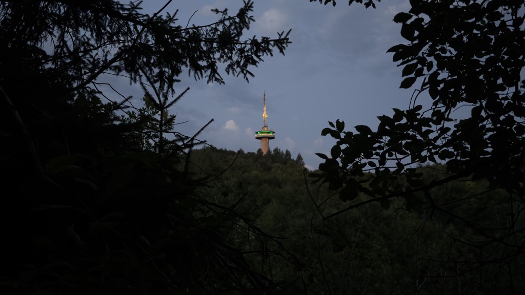
The Hoher Hagen is a volcanic hill that is still 480 m high today, in the Dransfeld Municipal Forest, in the German district of Göttingen in South Lower Saxony.
There's a trail leading to the summit. Hoher Hagen is one of the 140 peaks along the multi-day European long distance path E6.
The nearest mountain hut is Braunsberg Schutzhütte located 951m/3 120ft undefined of the summit.
By prominence Hoher Hagen is
# 5 out of 2766 in Lower Saxony # 1 out of 446 in Landkreis Göttingen # 40 out of 21663 in the German Highlands
We use GPS information embedded into the photo when it is available.
3D mountains overlay
Adjust mountain panorama to perfectly match your photos because recorded by camera photo position might be imprecise.
Move tool
Rotate tool
Zoom
More customization
Choose which peak labels should make into the final photo and what photo title should be.
Next
Photo Location
Satellitte
Flat map
Relief map
Latitude
Longitude
Altitude
OR
Latitude
°'''
Longitude
°'''
Apply
Register Peak
Peak Name
Latitude
Longitude
Altitude
Register
Teleport
PeakVisor
This 3D model of Sagarmatha National Park in Nepal was made using the PeakVisor app topographic data. The mobile app features higher precision models worldwide, more topographic details, and works offline. Download PeakVisor maps today.
Download OBJ model
PeakVisor
The download should start shortly. If you find it useful please consider supporting the PeakVisor app.
PeakVisor for iOS and Android
Be a superhero of outdoor navigation with state-of-the-art 3D maps and mountain identification in the palm of your hand!