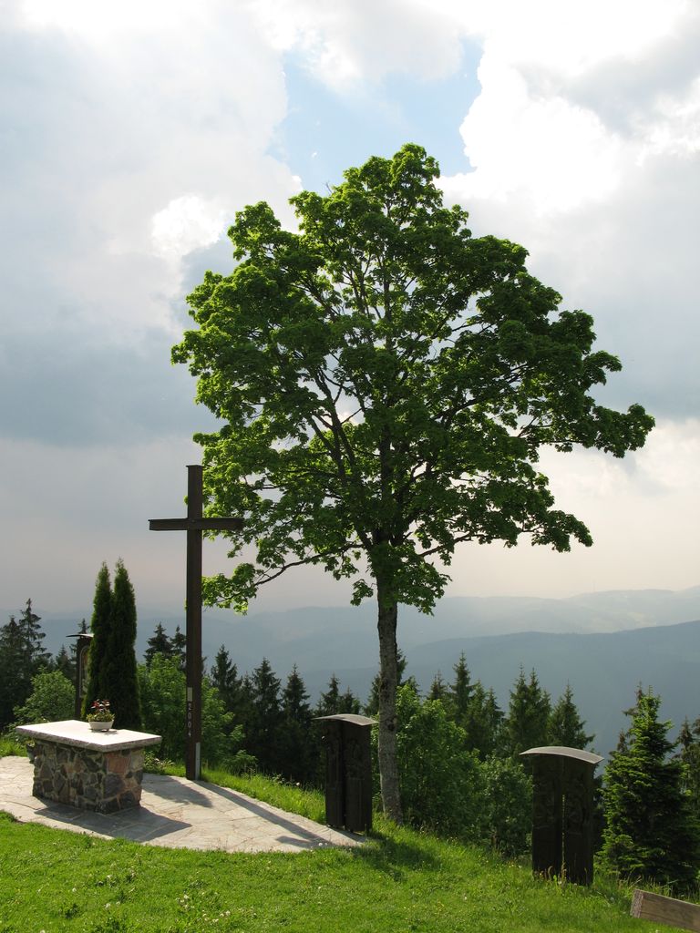
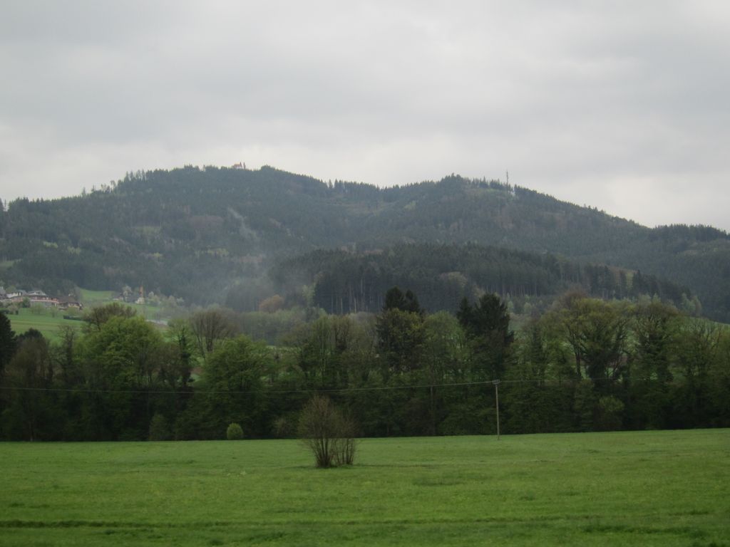
The Hörnleberg is a mountain, 905.6 m above sea level (NHN), in the Central Black Forest in southern Germany. Its summit pyramid rises around 600 metres above the apex formed by the valleys of the Elz and the Wild Gutach. Currently (2012, after forestry work) it has a view of the Elz valley and the Upper Rhine Plain.
At the summit is the pilgrimage chapel of Our Dear Lady (Unsere Liebe Frau), which was presumably built in the 8th or 9th century. The first record of the capella uf dem Hörnlin dates to the year 1469, in a prebendary occupancy book of the Diocese of Konstanz. According to legend, a blind man from the Alsace swore that if God gave him back his sight, he would build a chapel in honour of Mary on the first mountain that he saw.
Two Ways of the Cross, from Bleibach and from Oberwinden, lead up to the chapel.
There's a trail leading to the summit.
The nearest mountain hut is Gehrbühlhütte located 1 291m/4 235ft E of the summit.
We use GPS information embedded into the photo when it is available.
3D mountains overlay
Adjust mountain panorama to perfectly match your photos because recorded by camera photo position might be imprecise.
Move tool
Rotate tool
Zoom
More customization
Choose which peak labels should make into the final photo and what photo title should be.
Next
Photo Location
Satellitte
Flat map
Relief map
Latitude
Longitude
Altitude
OR
Latitude
°'''
Longitude
°'''
Apply
Register Peak
Peak Name
Latitude
Longitude
Altitude
Register
Teleport
PeakVisor
This 3D model of Sagarmatha National Park in Nepal was made using the PeakVisor app topographic data. The mobile app features higher precision models worldwide, more topographic details, and works offline. Download PeakVisor maps today.
Download OBJ model
PeakVisor
The download should start shortly. If you find it useful please consider supporting the PeakVisor app.
PeakVisor for iOS and Android
Be a superhero of outdoor navigation with state-of-the-art 3D maps and mountain identification in the palm of your hand!