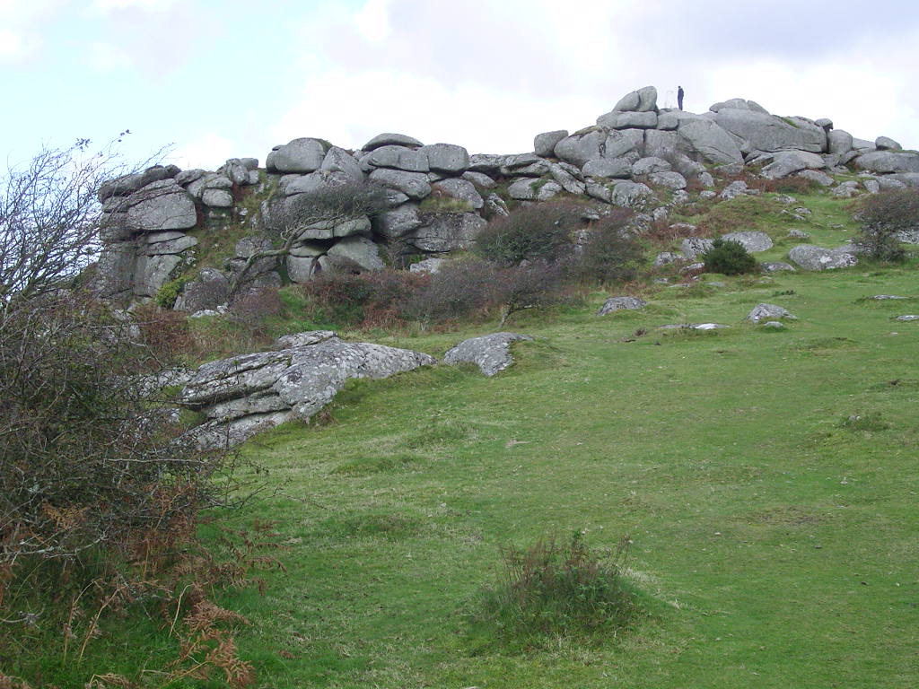
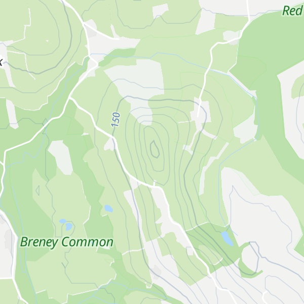
Helman Tor (Cornish: Torr Helman) is a granite hill in mid Cornwall, UK with several separated tors, and is designated as a (non-statutory) County Geology Site (with similar criteria to a County Wildlife Site). The hill also has a Scheduled Ancient Monument. Helman Tor is also the name of the largest nature reserve managed by the Cornwall Wildlife Trust which includes Breney Common (a Special Area of Conservation) and Red Moor. The Wildlife Trust aims to rewild the reserve, including potentially releasing beavers, as well as long-horn cattle and Cornish black pigs. Helman Tor, along with Breney Common, Red Moor and Belowda Beacon, is part of the Mid Cornwall Moors Site of Special Scientific Interest.
It lies on the Saints' Way, a long-distance footpath completed in 1986.
It is the northern end of a granite ridge. There are at least three rocking stones (logan stone) on the ridge.
There is a prehistoric hill fort and a stone hut circle settlement on the site.
There is evidence of walls constructed in Neolithic period, around 6,000 years ago, as well as some level platforms, thought to be house sites, one platform has a network of postholes. There is also remains of a field system. These are similar to those at Carn Brea and limited excavation was carried out by Roger Mercer.
There is a second Logan stone in the highest pile beside the trig point (triangulation point). A third logan stone is further down the ridge to the south, outside the reserve.
There's a trail leading to the summit.
By elevation Helman Tor is
# 1 out of 1 in Helman Tor # 76 out of 161 in Cornwall
By prominence Helman Tor is
# 1 out of 1 in Helman Tor # 14 out of 161 in Cornwall
We use GPS information embedded into the photo when it is available.
3D mountains overlay
Adjust mountain panorama to perfectly match your photos because recorded by camera photo position might be imprecise.
Move tool
Rotate tool
Zoom
More customization
Choose which peak labels should make into the final photo and what photo title should be.
Next
Photo Location
Satellitte
Flat map
Relief map
Latitude
Longitude
Altitude
OR
Latitude
°'''
Longitude
°'''
Apply
Register Peak
Peak Name
Latitude
Longitude
Altitude
Register
Teleport
PeakVisor
This 3D model of Sagarmatha National Park in Nepal was made using the PeakVisor app topographic data. The mobile app features higher precision models worldwide, more topographic details, and works offline. Download PeakVisor maps today.
Download OBJ model
PeakVisor
The download should start shortly. If you find it useful please consider supporting the PeakVisor app.
PeakVisor for iOS and Android
Be a superhero of outdoor navigation with state-of-the-art 3D maps and mountain identification in the palm of your hand!