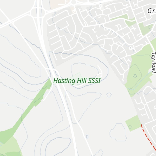
Hastings Hill is a suburb of Sunderland, Tyne and Wear, England.
Hastings Hill is a housing estate, close to the A19, and the Pennywell and Grindon areas of Sunderland. It was built as a private development in the late 1960s on an area of land between the county borough boundary and the surrounding post war council-built estates. The estate stands close to Hasting Hill, where a burial ground used by prehistoric man in about 2,000BC was excavated in 1911. Several cists were discovered during the excavation, with one containing the remains of a man, a flint knife and an earthenware food vessel.
We use GPS information embedded into the photo when it is available.
3D mountains overlay
Adjust mountain panorama to perfectly match your photos because recorded by camera photo position might be imprecise.
Move tool
Rotate tool
Zoom
More customization
Choose which peak labels should make into the final photo and what photo title should be.
Next
Photo Location
Satellitte
Flat map
Relief map
Latitude
Longitude
Altitude
OR
Latitude
°'''
Longitude
°'''
Apply
Register Peak
Peak Name
Latitude
Longitude
Altitude
Register
Teleport
PeakVisor
This 3D model of Sagarmatha National Park in Nepal was made using the PeakVisor app topographic data. The mobile app features higher precision models worldwide, more topographic details, and works offline. Download PeakVisor maps today.
Download OBJ model
PeakVisor
The download should start shortly. If you find it useful please consider supporting the PeakVisor app.
PeakVisor for iOS and Android
Be a superhero of outdoor navigation with state-of-the-art 3D maps and mountain identification in the palm of your hand!