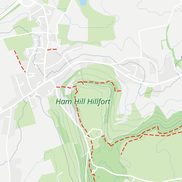
Ham Hill is a geological Site of Special Scientific Interest (SSSI), Scheduled Ancient Monument, Iron Age hill fort, Roman site, Local Nature Reserve and country park, to the west of Yeovil in Somerset, England.
The hill has given its name to the distinctive quarried hamstone and also to two nearby villages: Stoke-sub-Hamdon and Norton Sub Hamdon, whose names mean "under-Ham-hill" (where "Ham" is Old English for a small settlement).
The Mendip Hills, Blackdown Hills, Quantock Hills and Dorset Downs are all visible from Ham Hill, especially from its war memorial. It is popular for picnicking, walking and mountain biking in the grassy hollows of the old quarry workings.
The geology supports a wide range of fauna including mammals, birds, invertebrates, reptiles and amphibians living on lichens, fungi, ferns and flowering plants.
We use GPS information embedded into the photo when it is available.
3D mountains overlay
Adjust mountain panorama to perfectly match your photos because recorded by camera photo position might be imprecise.
Move tool
Rotate tool
Zoom
More customization
Choose which peak labels should make into the final photo and what photo title should be.
Next
Photo Location
Satellitte
Flat map
Relief map
Latitude
Longitude
Altitude
OR
Latitude
°'''
Longitude
°'''
Apply
Register Peak
Peak Name
Latitude
Longitude
Altitude
Register
Teleport
PeakVisor
This 3D model of Sagarmatha National Park in Nepal was made using the PeakVisor app topographic data. The mobile app features higher precision models worldwide, more topographic details, and works offline. Download PeakVisor maps today.
Download OBJ model
PeakVisor
The download should start shortly. If you find it useful please consider supporting the PeakVisor app.
PeakVisor for iOS and Android
Be a superhero of outdoor navigation with state-of-the-art 3D maps and mountain identification in the palm of your hand!