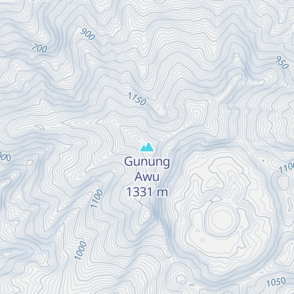
Mount Awu (Indonesian: Gunung Awu) is the largest stratovolcano in the Sangihe Islands chain, located on Sangir Island in North Sulawesi, Indonesia. Powerful eruptions have occurred in 1711, 1812, 1856, 1822, 1892, and 1966 with devastating pyroclastic flows and lahars that resulted in 11,048 fatalities. A total of 18 eruptions are recorded from 1640, with two of VEI 4 (1814 and 1966) and 3 with VEI 3 (1711, 1856 and 1892), one eruption every ~ 20 years. The hazardous nature of the volcano is determined from the continuous lava source driven by the geodynamic setting (a double subduction line that creates an arc–arc collision) and the presence of a crater lake, sustained by the consistent rainfall on the island, on top of a lava dome. This setting creates the conditions for water injection in the lava dome, which can cause a water-magma explosion.
A 4.5 km wide crater is found at the summit and a deep valley forms a passageway for lahars, splitting the flanks from the crater. This is a volcano in the Ring of Fire.
By elevation Gunung Awu is
# 89 out of 932 in North Sulawesi
By prominence Gunung Awu is
# 5 out of 932 in North Sulawesi # 98 out of 30908 in the Malay Archipelago Mountains
We use GPS information embedded into the photo when it is available.
3D mountains overlay
Adjust mountain panorama to perfectly match your photos because recorded by camera photo position might be imprecise.
Move tool
Rotate tool
Zoom
More customization
Choose which peak labels should make into the final photo and what photo title should be.
Next
Photo Location
Satellitte
Flat map
Relief map
Latitude
Longitude
Altitude
OR
Latitude
°'''
Longitude
°'''
Apply
Register Peak
Peak Name
Latitude
Longitude
Altitude
Register
Teleport
PeakVisor
This 3D model of Sagarmatha National Park in Nepal was made using the PeakVisor app topographic data. The mobile app features higher precision models worldwide, more topographic details, and works offline. Download PeakVisor maps today.
Download OBJ model
PeakVisor
The download should start shortly. If you find it useful please consider supporting the PeakVisor app.
PeakVisor for iOS and Android
Be a superhero of outdoor navigation with state-of-the-art 3D maps and mountain identification in the palm of your hand!