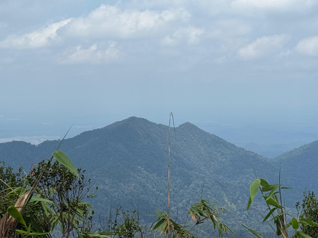
Mount Belumut (Malay: Gunung Belumut), or known locally as Gunung Lumut (lit. 'mossy mountain' in Malay), standing at 1,010 metres (3,314 ft), is a mountain located in Mount Belumut Recreational Forest in Kluang District, Johor, Malaysia, located within a massif north of Linggiu Reservoir. It is the third tallest peak in Johor.
There's a trail called Hiking Trail to Gng Belumut leading to the summit.
By elevation Gunung Belumut is
# 1 out of 20 in Endau-Kota Tinggi Wildlife Reserve and National Park # 5 out of 466 in Johor
By prominence Gunung Belumut is
# 1 out of 20 in Endau-Kota Tinggi Wildlife Reserve and National Park # 34 out of 5270 in Malaysia # 3 out of 466 in Johor
We use GPS information embedded into the photo when it is available.
3D mountains overlay
Adjust mountain panorama to perfectly match your photos because recorded by camera photo position might be imprecise.
Move tool
Rotate tool
Zoom
More customization
Choose which peak labels should make into the final photo and what photo title should be.
Next
Photo Location
Satellitte
Flat map
Relief map
Latitude
Longitude
Altitude
OR
Latitude
°'''
Longitude
°'''
Apply
Register Peak
Peak Name
Latitude
Longitude
Altitude
Register
Teleport
PeakVisor
This 3D model of Sagarmatha National Park in Nepal was made using the PeakVisor app topographic data. The mobile app features higher precision models worldwide, more topographic details, and works offline. Download PeakVisor maps today.
Download OBJ model
PeakVisor
The download should start shortly. If you find it useful please consider supporting the PeakVisor app.
PeakVisor for iOS and Android
Be a superhero of outdoor navigation with state-of-the-art 3D maps and mountain identification in the palm of your hand!