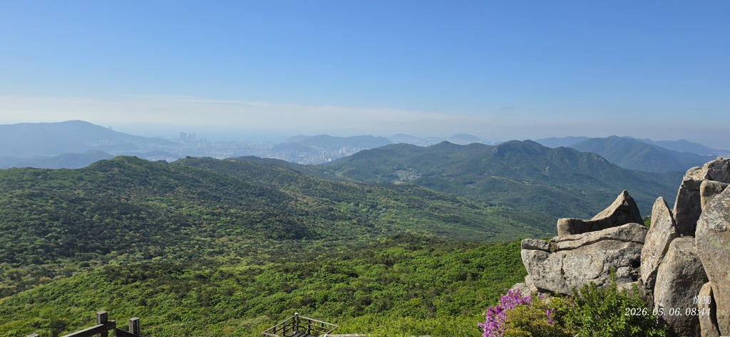
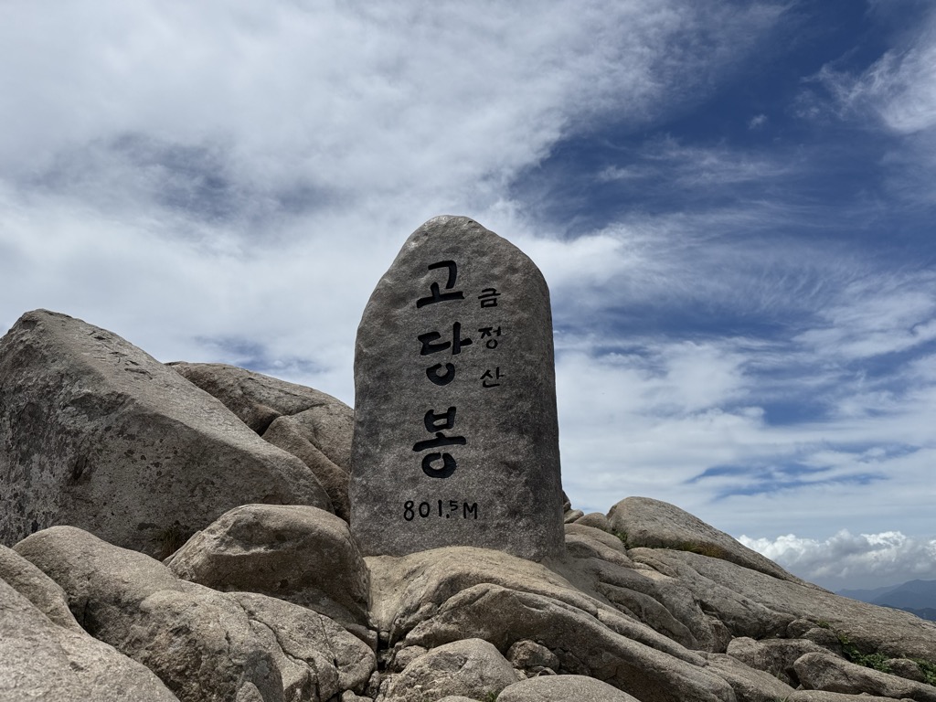
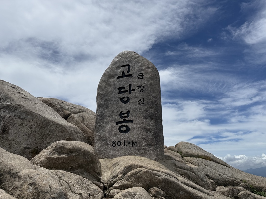
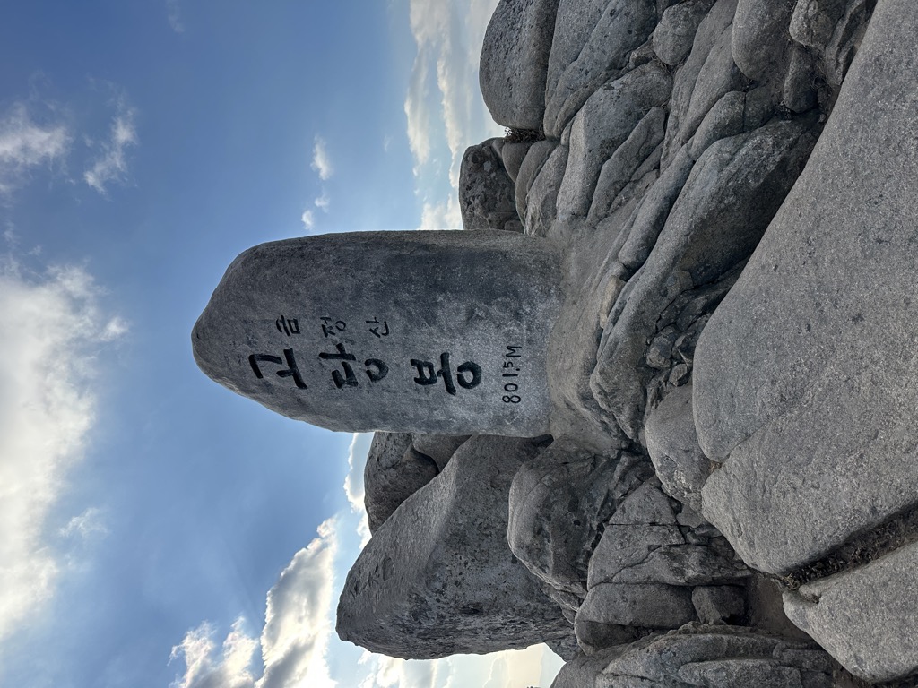
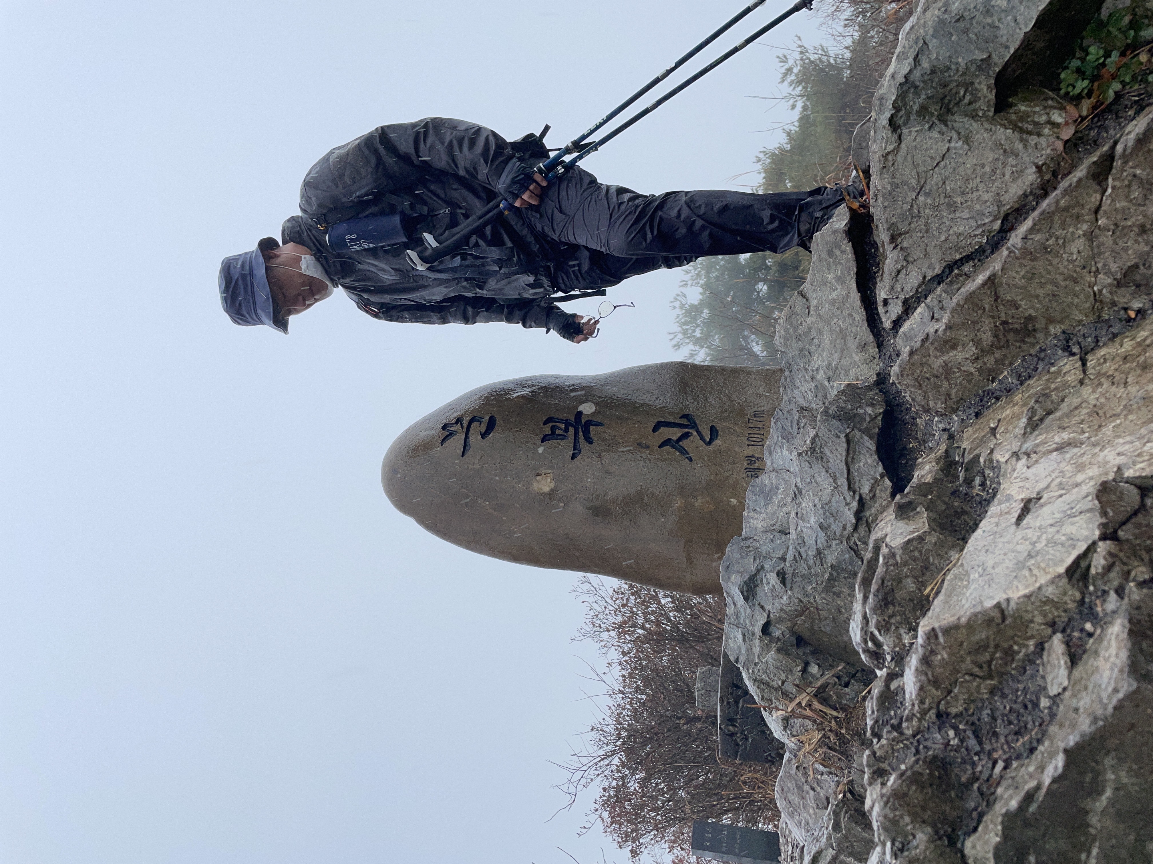
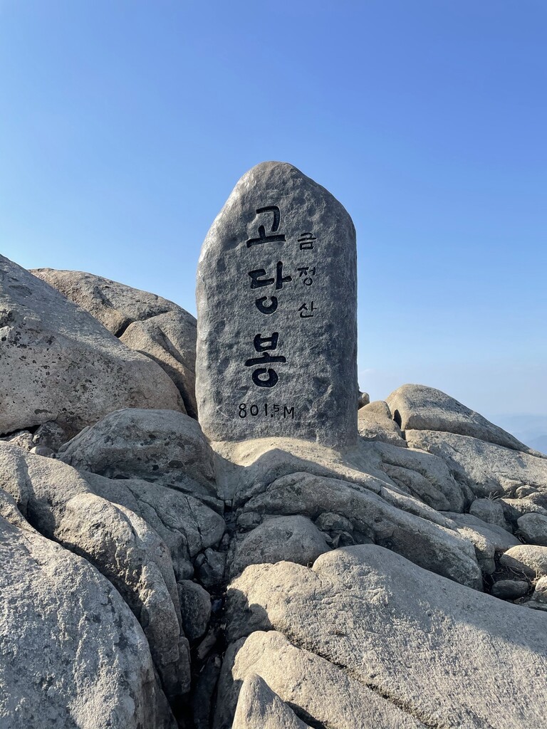
Geumjeongsan(Godangbong) (802m/2 631ft a.s.l.) is a mountain in the Taebaek Mountains in South Korea. The prominence is 664m/2 178ft.
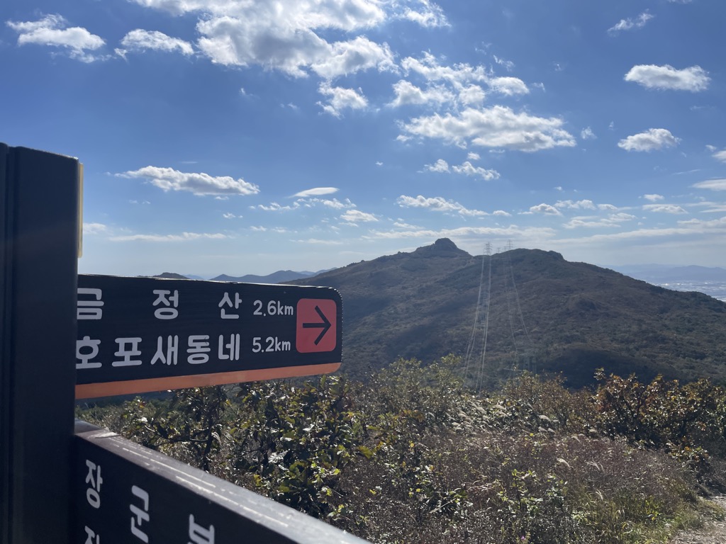
There's a trail leading to the summit.
By elevation Geumjeongsan(Godangbong) is
# 1 out of 110 in Busan # 1 out of 19 in Geumjeong-gu # 11 out of 34 in Yangsan-si
By prominence Geumjeongsan(Godangbong) is
# 27 out of 2048 in the Taebaek Mountains # 12 out of 898 in Gyeongsangnam-do # 1 out of 110 in Busan # 45 out of 7715 in Korea # 1 out of 19 in Geumjeong-gu # 2 out of 34 in Yangsan-si
We use GPS information embedded into the photo when it is available.
3D mountains overlay
Adjust mountain panorama to perfectly match your photos because recorded by camera photo position might be imprecise.
Move tool
Rotate tool
Zoom
More customization
Choose which peak labels should make into the final photo and what photo title should be.
Next
Photo Location
Satellitte
Flat map
Relief map
Latitude
Longitude
Altitude
OR
Latitude
°'''
Longitude
°'''
Apply
Register Peak
Peak Name
Latitude
Longitude
Altitude
Register
Teleport
PeakVisor
This 3D model of Sagarmatha National Park in Nepal was made using the PeakVisor app topographic data. The mobile app features higher precision models worldwide, more topographic details, and works offline. Download PeakVisor maps today.
Download OBJ model
PeakVisor
The download should start shortly. If you find it useful please consider supporting the PeakVisor app.
PeakVisor for iOS and Android
Be a superhero of outdoor navigation with state-of-the-art 3D maps and mountain identification in the palm of your hand!