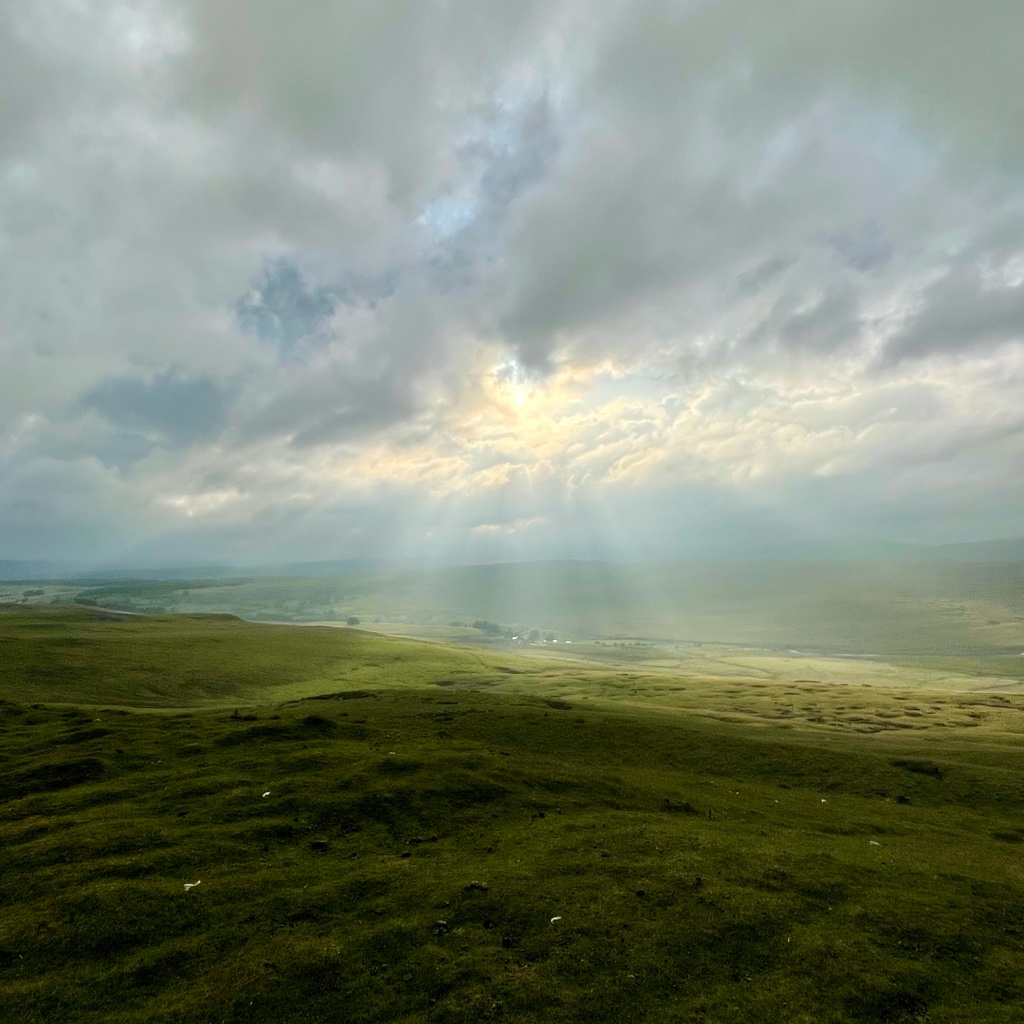
Fan Llia is a subsidiary summit of Fan Fawr in the Fforest Fawr section of the Brecon Beacons National Park, Wales. In common with other peaks in the Fforest Fawr uplands it lies within the county of Powys.
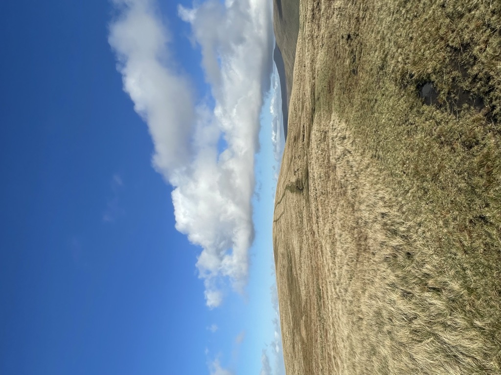
The hill has the form of a broad ridge aligned south-south-west to north-north-east peaking at an altitude of 632 m. It has a subsidiary top to the north which is known as Fan Dringarth and which attains a height of 617 m. Its broad northern ridge is eventually truncated by the cliffs of Craig Cwm-du.
A number of features of archaeological interest are to be found on its flanks including several house platforms.
There's a trail leading to the summit.
By elevation Fan Llia is
# 64 out of 930 in Powys # 45 out of 172 in Brecon Beacons National Park
We use GPS information embedded into the photo when it is available.
3D mountains overlay
Adjust mountain panorama to perfectly match your photos because recorded by camera photo position might be imprecise.
Move tool
Rotate tool
Zoom
More customization
Choose which peak labels should make into the final photo and what photo title should be.
Next
Photo Location
Satellitte
Flat map
Relief map
Latitude
Longitude
Altitude
OR
Latitude
°'''
Longitude
°'''
Apply
Register Peak
Peak Name
Latitude
Longitude
Altitude
Register
Teleport
PeakVisor
This 3D model of Sagarmatha National Park in Nepal was made using the PeakVisor app topographic data. The mobile app features higher precision models worldwide, more topographic details, and works offline. Download PeakVisor maps today.
Download OBJ model
PeakVisor
The download should start shortly. If you find it useful please consider supporting the PeakVisor app.
PeakVisor for iOS and Android
Be a superhero of outdoor navigation with state-of-the-art 3D maps and mountain identification in the palm of your hand!