
Scan the QR code and open PeakVisor on your phone
Covering over 500 square miles of precipitous mountains, serene cwms, and vast moorlands, Brecon Beacons National Park is the perfect place to get lost in nature. The Brecon Beacons National Park is the ideal destination for avid adventurers, with over 2,000 miles of marked trails to discover.
![]()
Brecon Beacons National Park is situated in South Wales, primarily within the counties of Powys, Monmouthshire, and Carmarthenshire. Brecon Beacons National Park is one of three national parks in Wales, along with Snowdonia National Park and Pembrokeshire Coast National Park.
There are four different upland areas and mountain ranges within Brecon Beacons National Park: the Brecon Beacons, the Black Mountain range, Fforest Fawr, and the Black Mountains. Despite sharing very similar names, the Black Mountains and the Black Mountain range are completely different ranges, located on opposite sides of the park.
The Brecon Beacons (often referred to as the Central Beacons) are the national park's central mountain range and dominate the landscape's skyline. Situated just south of the small town of Brecon, the range consists of six notable peaks, including the highest mountain in South Britain, Pen y Fan (885 m). Four of the Brecon Beacons' main peaks form a horseshoe shape, which affords challenging hiking routes for experienced mountain climbers. The other peaks within the horseshoe are Corn Du (871 m), Cribyn (784 m), and Fan y Big (714 m)
![]()
Situated just west of the Central Beacons is Fforest Fawr. Translated as the "Great Forest," Fforest Fawr is an upland area containing 8 notable peaks. The highest point within Fforest Fawr in Fan Fawr (736 m). Due to its location near the Brecon Beacons, Fforest has become a popular hiking area due to its smaller peaks and picturesque landscape.
On the western edge of Brecon Beacons National Park is the Black Mountain range. The highest peak within the Black Mountain range is Fan Brycheiniog (799 m). Other significant peaks include Fan Foel (780 m), Picws Du (747 m), and Wuan Lefrith (678 m). These three smaller peaks and the surrounding area is sometimes referred to as the Carmarthen Fans due to their location within Carmarthenshire.
On the east side of the Central Beacons are the Black Mountains. This range runs through the counties of Powys and Monmouthshire over the Welsh-English border into Herefordshire. The highest summit within the Black Mountains is Waun Fach (811 m), followed by Pen y Gadair Fawr (797 m). The Black Mountains are also home to the confusingly named Black Mountain (704 m), which sits directly on the Welsh-English border.
The Brecon Beacons Horseshoe Ridge Walk is a strenuous trek that takes hikers to the top of four different peaks: Pen y Fan (885 m), Corn Du (871 m), Cribyn (784 m), and Fan y Big (714 m). The hike is around 10 miles long and should take approximately 5 hours to complete. Due to this walk's length and difficulty, ensure you bring the appropriate equipment, including a map, compass, and waterproof clothing. You should also bring along a torch as the weather is very changeable, and fog is common. Ensure you carefully map out your route beforehand.
![]()
You'll start this walk from the Taf Fechan car park, north of the Old Barn Tea Room and Torpantau Station. Walk north past the reservoir onto the Craig Fan Ddu ridge to begin. The horseshoe trail is fairly clear and easy to follow as it runs along the ridges between the mountains. You'll start by climbing northeast towards Corn Du, then around the ridge onto the saddle between Corn Du and Pen y Fan. The descent down Pen y Fan past Craig Cwm Sere is steep, so take caution. From here, you'll tackle the summit of Cribyn, and then use the Gap Road to get to Fan y Big. To end the walk, follow the Craig Cwm Oergwm ridge back towards the car park.
A less challenging but rewarding walk in the Central Beacons is the Upper Tarell Valley Trail. This walk leads along the tranquil River Tarell, through the sweeping Tarell Valley. You'll find this trail is around 5 miles and takes roughly 3 hours to complete. Start your walk from the Storey Arms Education Centre, and head left along the old Brecon to Merthyr coach road. You'll need to turn left at a signpost for the Youth Hostel, and then cross a field diagonally left to reach the river. Cross the bridge so the rivers on your right, and walk until you reach Ty Mawr Farm.
![]()
Once you've passed Ty Mawr Farm, head across the river again, then turn right towards Coed Carno pass. This section of the trail weaves through woodlands heading uphill and along the Beddagi stream. The trail along the Beddagi stream is the steepest and most dangerous part of the walk. After a short walk you'll rejoin the main trail, which leads up towards a disused quarry that affords spectacular views of the area. Keep along the boundary wall down the hill, which will lead back to the old coach road. Head left past the Blaenglyn Farmhouse and locate the wooden steps that lead back to the original path to the Storey Arms.
Fan Fawr is the highest peak in the Fforest Fawr and is the area's most difficult climb. This walk is around 9 miles long and should take your 6 or 7 hours. There is no clearly defined route through the mountains, but one of the best ways to scale Fan Fawr is via Fan Frynych (629 m) and Craig Cerrig-gleisiad (632 m).
![]()
Start your hike from the Craig Cerrig-gleisiad Nature Reserve along the A470. Head north towards Fan Frynych. Continue north, and you'll soon come across a path that takes you to the summit. From the top of Fan Frynych, follow the path south, which will lead you to the pinnacle of Craig Cerrig-gleisiad. The summit of Craig Cerrig-gleisiad is marked with a pile of stones. Turn south and walk directly to the peak of Fan Fawr. From the cairn atop Fan Fawr, you'll have stunning views of Fan Brycheiniog on the horizon. Descend the mountain back to your starting point by heading northeast towards the Storey Arms.
If you're looking for a family-friendly hiking area in Brecon Beacons National Park, consider the Fforest Fawr Sculpture Trail. You can pick up this trail from the Fforest y Fawr car park near Castle Coch. This 1.5 miles trail takes less than an hour to complete and weaves through scenic woodlands full of interesting sights and lots of wildlife. The trail boasts some impressive large wooden sculptures, which depict everything from wolves to deer to giant lizards. Keep an eye out for local flora and fauna, too, with an array of vibrant flowers and butterflies commonly spotted during the summer.
![]()
The Black Mountain range is the most isolated range in Brecon Beacons National Park but has become more popular with hikers in recent years due to its natural beauty. The trek up Fan Brycheiniog is around 9 miles, ascends 651 m, and takes roughly 5 hours.
![]()
From the road east of Llyn y Fan Fawr, cross the River Tawe and keep along the lake's southern edge. A trail here leads onto the Bwlch Giedd col between Fan Brycheiniog and Fan Hir (758 m). Head right along the saddle towards the summit of Fan Brycheiniog. While walking along the ridge, look left for stunning views of the peaceful Llyn y Fan Fawr. You'll find a stone shelter at the summit, which is a great spot to relax and enjoy a quick snack.
From Fan Brycheiniog's summit, you'll have a choice of either descending down Bwlch Blaen Twrch ridge or continuing on to Picws Du (747 m). The walk to Picws Du is worth it, as the peak affords views of the Black Mountain range's other lake, Llyn Fan Fach. Follow the ridge southwest towards Llyn Fan Fach, and make your descent when the ridge begins to turn north. At the bottom of the hill is a shelter and a dam. Head east from here to get back to the road near Llyn y Fan Fawr.
While by no means the highest peak in the Black Mountains, Sugar Loaf (581 m) is one of the steepest peaks in Brecon Beacons National Park, with a prominence of 386 m. This walk is a 6-mile loop trail, which will take around 3 hours. Begin your ascent at Sugar Loaf's southern face. You'll find a path that leads to the northwest. Stay on the track, ignoring any trail which breaks away from the main route.
![]()
During your walk to the summit, you'll pass through a wooded area and over a stream. You'll soon be heading up to the peak from the western side of the hill. Due to Sugar Loaf's prominence, the hike to the top can be quite steep but should be manageable for most hikers. The trig point affords stunning views of the surrounding Black Mountains. Descend the mountain by the path to the southwest.
Waun Fach is the highest of the Black Mountains and provides a strenuous hike with plenty of interesting sights along the way. One of the best ways to climb Waun Fach is via Pen y Grib (494 m), which will take you past the historic Dinas Castle. This trek is around 9 miles in length, ascends 510 m, and should take around 6 hours depending on whether you stop for a scenic picnic along the way.
![]()
Start this walk from Pengenffordd village and make your way up to Dinas Castle, the remains of the highest Norman fortification in Wales. From Dinas Castle, follow the beaten trail along the Y Grib ridge to the northeast. The top of the hill is marked with a cairn. Continue northeast across the plateau to the summit of Pen y Manllwyn (766 m). From the peak of Pen y Manllwyn, travel southeast along the highest ridge in the Black Mountains to the top of Waun Fach.
Due to its flat summit, the pinnacle of Waun Fach doesn't offer the best views on the walk. For gorgeous panoramas of the area, wait until your descent onto Pen Trumau (707 m) to the southwest, which boasts vistas of the Bristol Channel and Shropshire Hills. To finish the walk, follow the path south then northwest to circle back around to the starting point in Pengenffordd village.
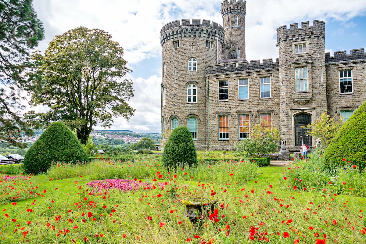
Merthyr Tydfil is the largest town within touching distance of Brecon Beacons National Park. Even though Merthyr Tydfil is large by local standards, it still has a population of under 50,000, meaning you'll still be able to enjoy a relaxing getaway. Merthyr Tydfil is less than 15 miles from peaks in the Central Beacons such as Fan y Big and Pen y Fan, so you won't be short of hiking opportunities. You'll also be just 25 miles from Cardiff and Newport, in case you fancy checking out some of Wales' biggest cities. There are several reasonably priced hotels in Merthyr Tydfil for those hiking on a budget, like The Castle Hotel, The Bessemer Hotel, and Tregenna Hotel.
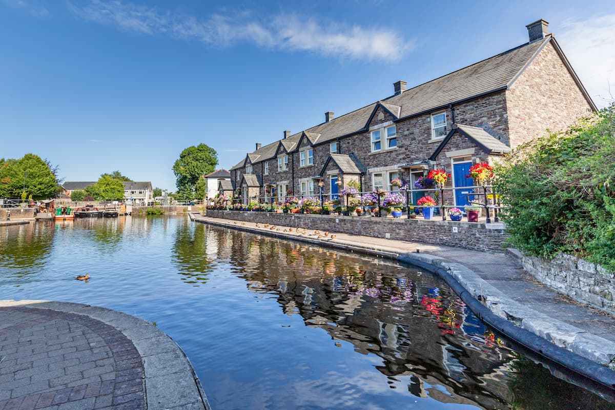
Perched upon the Usk and Honddu Rivers is the picturesque market town of Brecon. Situated just north of the Brecon Beacons National Park, Brecon is one of the best places to stay if you're looking for easy access to the Central Beacons, with the likes of Pen y Fan just six miles south of the town. Despite being a small town, Brecon is home to some interesting regional attractions, such as Brecon Cathedral, The Regimental Museum of the Royal Welsh, and Y Gaer Museum. If you're looking for a place to stay in Brecon, consider the Wellington Hotel, The George Hotel, or The Grange Guest House.
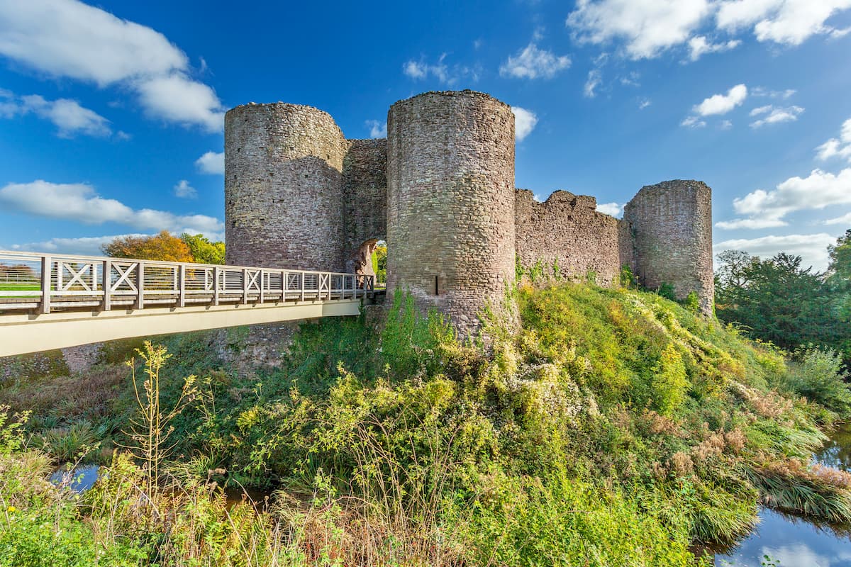
Abergavenny is one of the most popular places to stay near the Brecon Beacons National Park, thanks to its convenient location, quaint market, and variety of nearby activities. Abergavenny is situated on the southeastern edge of Brecon Beacons National Park, 2 miles from Sugar Loaf, and 4 miles from Ysgyryd Fawr (488 m). While staying in Abergavenny, ensure you visit the Abergavenny Museum located at the ruins of an 11th-century Norman castle. Also, consider picking up some delicious local produce at the Abergavenny Indoor Market. Popular hotels within Abergavenny include The Angel Hotel, The Abergavenny Hotel, and The Kings Arms Hotel.
Sat upon the border between Wales and England is the sleepy town of Hay-On-Wye. With an array of boutique and antique stores, as well as over a dozen different book stores, Hay-On-Wye is superb for shopping and hiking. Hay-On-Wye is located just to the northeast of Brecon Beacons National Park and is ideal for hikers looking to discover the Black Mountains, with the peaks of Hay Bluff (677 m), Twmpa (686 m), and Black Mountain within 6 miles of the town center. You'll find a few high-quality hotels and spas within Hay-On-Wye, such as The Old Black Lion, Radnor House, and The Swan.
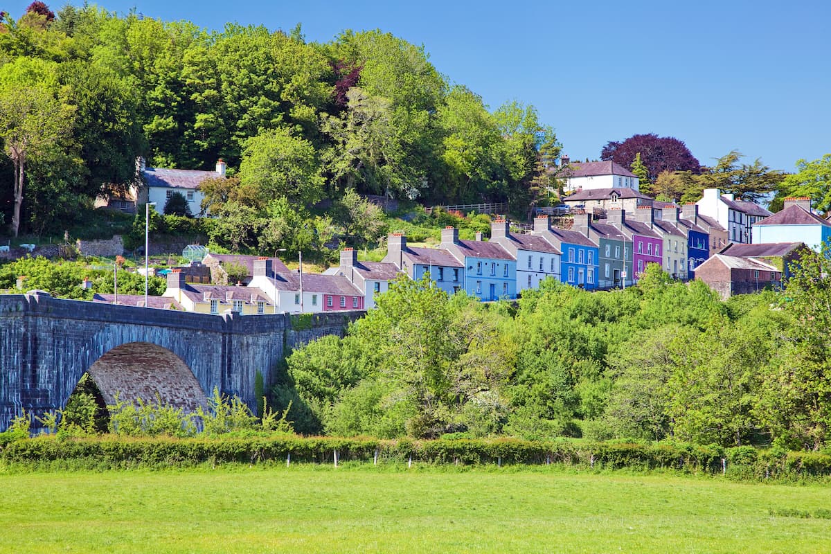
On the far western side of Brecon Beacons National Park is Llandeilo. One of South Wales' many postcard-perfect towns, Llandeilo is just a stone's throw from many of Carmarthenshire's best historic and natural attractions, like Dinefwr Park National Nature Reserve, Gelli Aur Country Park, and Newton House. Llandeilo is also one of the best towns from which to explore the Black Mountain range, with Fan Brycheiniog just 15 miles to the east. Hotels in and around Llandeilo include Cawdor, the White Hart Inn, and Llwynhelig Manor B&B.

tgo40
nuttalls
hewitts-gb
marilyns-gb
tgo40
nuttalls
hewitts-gb
marilyns-gb


