Engelberg (Leonberg) is a mountain of Baden-Württemberg, Germany. The mountain rises up over the town of Leonberg, Engelberg at a height of 480.60 metres (1,576.8 ft). Originally known as Endelberg, it has been called by its current name since the 16th century.
The mountain served as a military post with a tall watchtower in the Middle Ages. During the 19th century, parts of Engelberg were allotted to local citizens for gardening, and a forest was planted in 1840. The old watchtower was renovated by the Leonberg municipal council in 1842. The area became a popular destination for walkers.
The current Engelberg tower was opened in 1928, originally as a water tower for a golf course on the nearby heath. Disused as a water tower since 1982, it is now a well known lookout tower for tourists. Visitors climb 123 steps to reach the viewing platform, for a panoramic view of the mountains around Heilbronn; the Black Forest is also visible in the distance when the weather is clear.
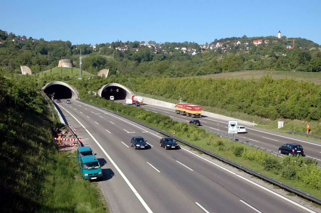
There is a concentration camp memorial near the old Engelberg tunnel, which was converted into a production facility where prisoners were forced to work during the Second World War.
We use GPS information embedded into the photo when it is available.
3D mountains overlay
Adjust mountain panorama to perfectly match your photos because recorded by camera photo position might be imprecise.
Move tool
Rotate tool
Zoom
More customization
Choose which peak labels should make into the final photo and what photo title should be.
Next
Photo Location
Satellitte
Flat map
Relief map
Latitude
Longitude
Altitude
OR
Latitude
°'''
Longitude
°'''
Apply
Register Peak
Peak Name
Latitude
Longitude
Altitude
Register
Teleport
PeakVisor
This 3D model of Sagarmatha National Park in Nepal was made using the PeakVisor app topographic data. The mobile app features higher precision models worldwide, more topographic details, and works offline. Download PeakVisor maps today.
Download OBJ model
PeakVisor
The download should start shortly. If you find it useful please consider supporting the PeakVisor app.
PeakVisor for iOS and Android
Be a superhero of outdoor navigation with state-of-the-art 3D maps and mountain identification in the palm of your hand!