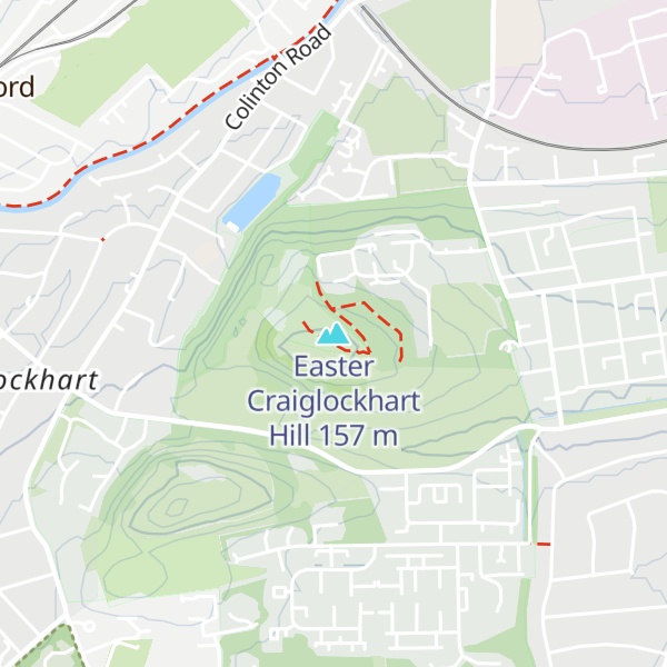
Craiglockhart Hill is a combination of two summits, Easter and Wester Craiglockhart, in the suburb of Craiglockhart, Edinburgh.
Easter Craiglockhart Hill's summit is 158m high. In 2004 this hill was designated a local nature reserve. Wester Craiglockhart Hill has a summit of 175m.
The hills are formed of Carboniferous basaltic lava and ash on sandstone. On part of Wester Craiglockhart an exposed upper lava deposit about 30 metres thick features a central area of well-formed columns. When this lava crystallized, a series of hexagonal cracks produced the columnar structure.
The valley between the two summits is called Glenlockhart. The valley took its present form over 17,000 years ago when an ice sheet covered the area. Meltwater from the Water of Leith, then dammed by ice, cut the channel.
There's a trail leading to the summit.
By elevation Easter Craiglockhart Hill is
# 1 out of 1 in Easter Craiglockhart Hill Local Nature Reserve # 32 out of 50 in City of Edinburgh
By prominence Easter Craiglockhart Hill is
# 1 out of 1 in Easter Craiglockhart Hill Local Nature Reserve # 19 out of 50 in City of Edinburgh
We use GPS information embedded into the photo when it is available.
3D mountains overlay
Adjust mountain panorama to perfectly match your photos because recorded by camera photo position might be imprecise.
Move tool
Rotate tool
Zoom
More customization
Choose which peak labels should make into the final photo and what photo title should be.
Next
Photo Location
Satellitte
Flat map
Relief map
Latitude
Longitude
Altitude
OR
Latitude
°'''
Longitude
°'''
Apply
Register Peak
Peak Name
Latitude
Longitude
Altitude
Register
Teleport
PeakVisor
This 3D model of Sagarmatha National Park in Nepal was made using the PeakVisor app topographic data. The mobile app features higher precision models worldwide, more topographic details, and works offline. Download PeakVisor maps today.
Download OBJ model
PeakVisor
The download should start shortly. If you find it useful please consider supporting the PeakVisor app.
PeakVisor for iOS and Android
Be a superhero of outdoor navigation with state-of-the-art 3D maps and mountain identification in the palm of your hand!