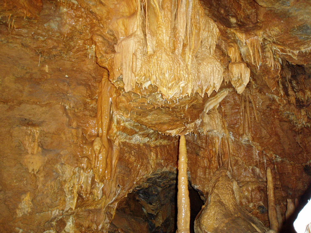
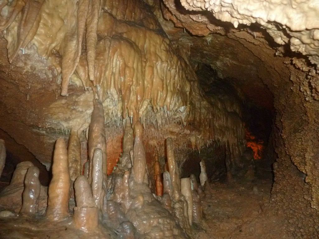
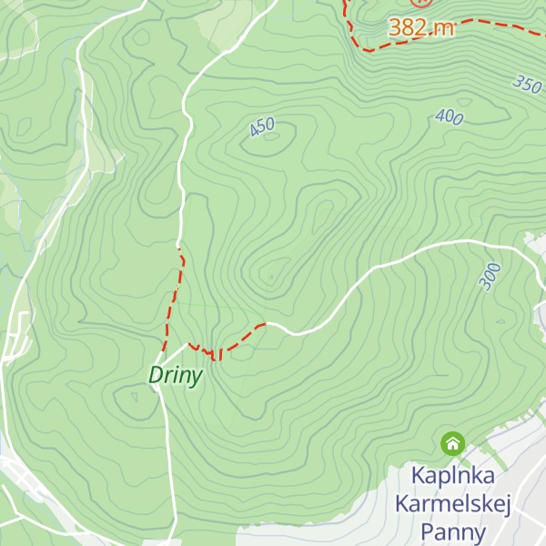
Driny is a limestone cave in West Slovakia in the Little Carpathians Mountains. It is located around 2 km southwest of the village of Smolenice.
The cave's entrance altitude is 399 m.
The first attempt to enter the cave was made by Prussian soldiers, who were camping nearby during the Austro-Prussian War. It was finally explored in 1929, and in 1934 the first 175-metre route was opened. In 1950 other parts of the cave were explored and in 1959, the cave was reopened. The cave was declared a nature monument in 1968 and became part of the newly designated Little Carpathians Protected Landscape Area in 1976.
Today, of the total explored length of 636 m, 550 m are open to the public.
By elevation Driny is
# 1 out of 2 in Hlboča # 44 out of 213 in Region of Trnava
By prominence Driny is
# 1 out of 2 in Hlboča # 34 out of 213 in Region of Trnava # 49 out of 312 in CHKO Malé Karpaty
We use GPS information embedded into the photo when it is available.
3D mountains overlay
Adjust mountain panorama to perfectly match your photos because recorded by camera photo position might be imprecise.
Move tool
Rotate tool
Zoom
More customization
Choose which peak labels should make into the final photo and what photo title should be.
Next
Photo Location
Satellitte
Flat map
Relief map
Latitude
Longitude
Altitude
OR
Latitude
°'''
Longitude
°'''
Apply
Register Peak
Peak Name
Latitude
Longitude
Altitude
Register
Teleport
PeakVisor
This 3D model of Sagarmatha National Park in Nepal was made using the PeakVisor app topographic data. The mobile app features higher precision models worldwide, more topographic details, and works offline. Download PeakVisor maps today.
Download OBJ model
PeakVisor
The download should start shortly. If you find it useful please consider supporting the PeakVisor app.
PeakVisor for iOS and Android
Be a superhero of outdoor navigation with state-of-the-art 3D maps and mountain identification in the palm of your hand!