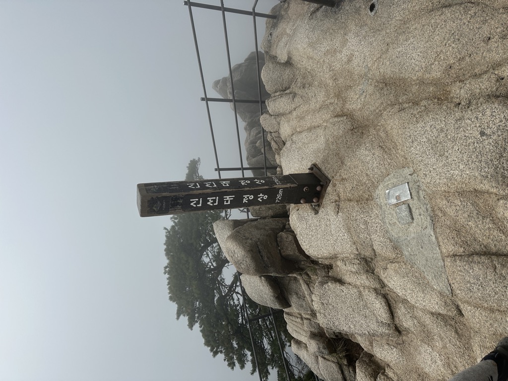
Dobongsan (Korean: 도봉산) is a mountain in Bukhansan National Park, South Korea. It extends across Seoul, the national capital, and the cities of Yangju and Uijeongbu, in the province of Gyeonggi Province. It has an elevation of 739.5 m (2,426 ft). Nearby Dobongsan Station is named after it.
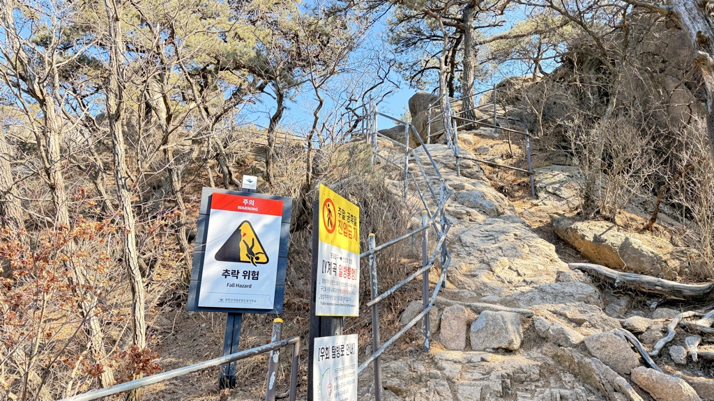
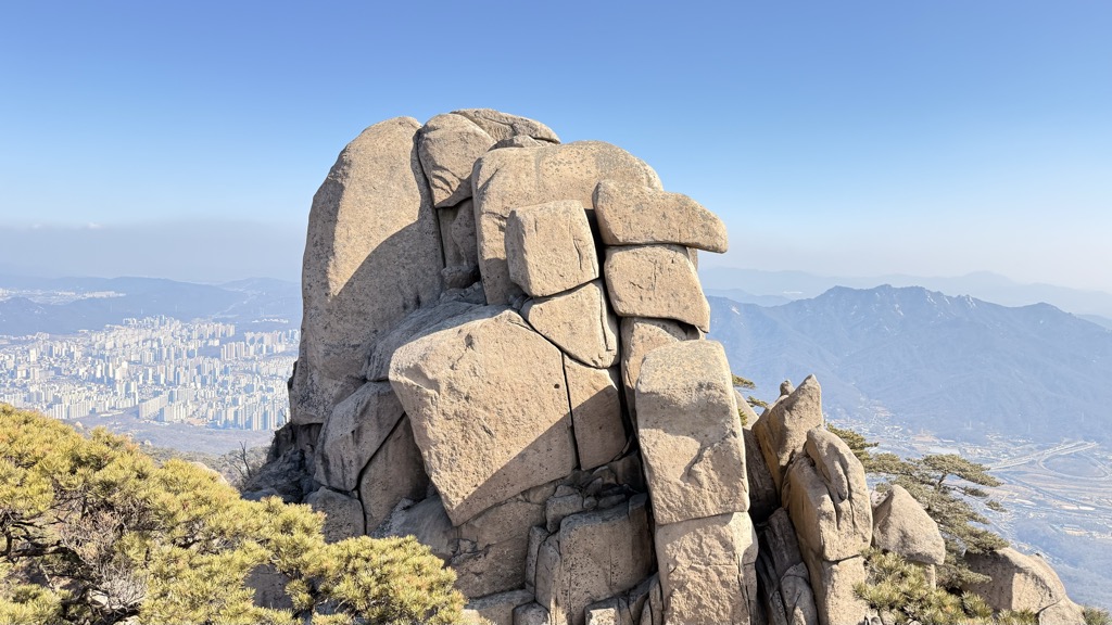
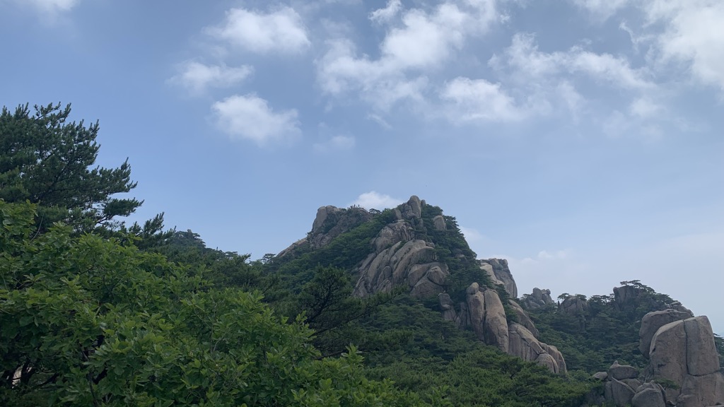
It is known for the magnificent rock formations of the Manjang-bong, Seonin-bong, Ju-bong, O-bong and Uiam-bong Peaks. The Seonin-bong summit has 37 hiking courses connecting to it, including the famous Bakjwi (Bat) Course. The mountain is also home to Cheonchuk-sa Buddhist Temple, the oldest temple in the region, and several other temples including Mangwol-sa, Wonhyo-sa and Hoeryong-sa, as well as a number of beautiful valleys called Donong, Songchu, Obong and Yeongeo-cheon. Furthermore, it is easily accessible by public transportation.
There's a hiking trail (T1) called 0.5Km 00:15 leading to the summit.
The nearest mountain hut is Dobong Shelter located 850m/2 787ft SE of the summit.
By elevation Dobongsan Jawoonbong is
# 5 out of 53 in Bukhansan National Park # 3 out of 103 in Seoul # 64 out of 961 in Gyeonggi-do # 1 out of 47 in Yangju # 1 out of 9 in Dobong-gu
By prominence Dobongsan Jawoonbong is
# 2 out of 53 in Bukhansan National Park # 3 out of 103 in Seoul # 34 out of 961 in Gyeonggi-do # 3 out of 47 in Yangju # 1 out of 9 in Dobong-gu
We use GPS information embedded into the photo when it is available.
3D mountains overlay
Adjust mountain panorama to perfectly match your photos because recorded by camera photo position might be imprecise.
Move tool
Rotate tool
Zoom
More customization
Choose which peak labels should make into the final photo and what photo title should be.
Next
Photo Location
Satellitte
Flat map
Relief map
Latitude
Longitude
Altitude
OR
Latitude
°'''
Longitude
°'''
Apply
Register Peak
Peak Name
Latitude
Longitude
Altitude
Register
Teleport
PeakVisor
This 3D model of Sagarmatha National Park in Nepal was made using the PeakVisor app topographic data. The mobile app features higher precision models worldwide, more topographic details, and works offline. Download PeakVisor maps today.
Download OBJ model
PeakVisor
The download should start shortly. If you find it useful please consider supporting the PeakVisor app.
PeakVisor for iOS and Android
Be a superhero of outdoor navigation with state-of-the-art 3D maps and mountain identification in the palm of your hand!