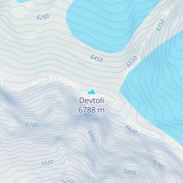
Devtoli (Hindi: देवटोली) is a mountain of Kumaon Himalaya located in the Bageshwar district of Uttarakhand, India. It stands at 6,788 metres (22,270 ft). It is 36th highest located entirely within Uttarakhand. Nanda Devi is the highest mountain in this category. It is located at the southern rim of Nanda Devi Sanctuary. Devtoli is located just north west of Maiktoli (6,803 metres (22,320 ft)) and east of Mrigthuni (6,855 metres (22,490 ft)). On the north east side lies Nanda Devi (7,816 metres (25,643 ft)) and Panwali Dwar (6,663 metres (21,860 ft)) on the east side. Tharkot on the southern side.
By elevation Devtoli is
# 9 out of 20 in Nanda Devi National Park # 100 out of 13857 in India # 26 out of 105 in Joshimath # 4 out of 20 in Kapkot
By prominence Devtoli is
# 20 out of 20 in Nanda Devi National Park # 89 out of 105 in Joshimath # 12 out of 20 in Kapkot
We use GPS information embedded into the photo when it is available.
3D mountains overlay
Adjust mountain panorama to perfectly match your photos because recorded by camera photo position might be imprecise.
Move tool
Rotate tool
Zoom
More customization
Choose which peak labels should make into the final photo and what photo title should be.
Next
Photo Location
Satellitte
Flat map
Relief map
Latitude
Longitude
Altitude
OR
Latitude
°'''
Longitude
°'''
Apply
Register Peak
Peak Name
Latitude
Longitude
Altitude
Register
Teleport
PeakVisor
This 3D model of Sagarmatha National Park in Nepal was made using the PeakVisor app topographic data. The mobile app features higher precision models worldwide, more topographic details, and works offline. Download PeakVisor maps today.
Download OBJ model
PeakVisor
The download should start shortly. If you find it useful please consider supporting the PeakVisor app.
PeakVisor for iOS and Android
Be a superhero of outdoor navigation with state-of-the-art 3D maps and mountain identification in the palm of your hand!