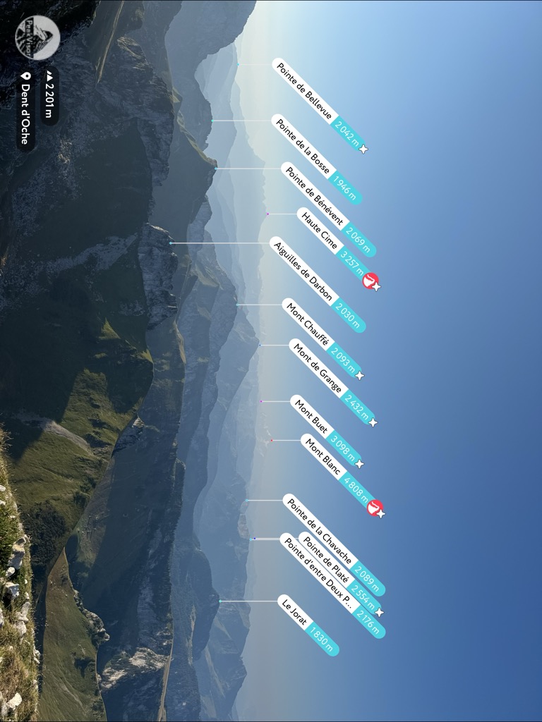
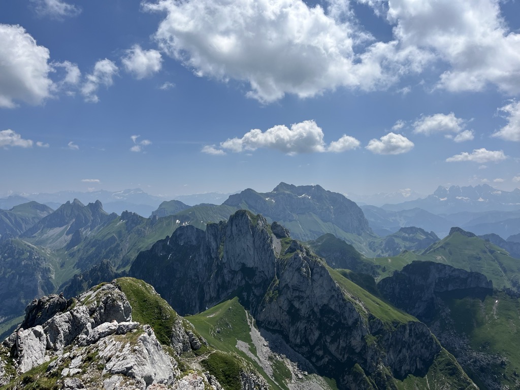
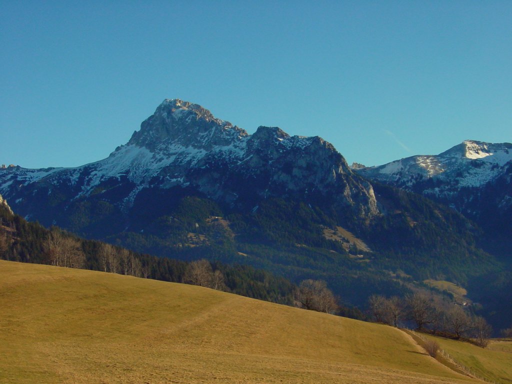
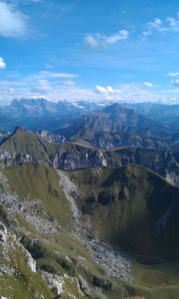
The Dent d'Oche (French pronunciation: [dɑ̃ dɔʃ]) is a mountain in the Haute-Savoie region of France, in the Chablais massif, near the Swiss-French border, that rises to 2,221 m (7,287 ft) in altitude. It towers above Évian, Thonon, and Lake Geneva. It offers a view of the French and Swiss Alps and the Swiss prealps.
It is the northernmost summit above 2,000 m (6,600 ft) in France.
About 100 m (330 ft) below the summit is a refuge of the French Alpine Club, the refuge de la Dent d'Oche.
In summer, the refuge and the summit can be reached by a hike that is doable without special equipment, but significantly more difficult than the usual routes to nearby peaks such as Cornettes de Bise and Le Grammont. Reaching the refuge involves some short climbing sections for which chains are provided. The hike from the refuge up to the summit involves some unsecured sections along a cliff, where a misstep would be fatal.
There is an alternative hiking route to the summit, from the east, that is even more delicate.
Finally, the north face route, with a rise of 350 m (1,150 ft), is one of the most difficult climbs of the Chablais Alps. Certain sections require extensive technical skill. The first ascent of the north face was achieved by Joseph Ravanel, his siblings Arthur and Camille and François Jacquier on 6 June 1925.
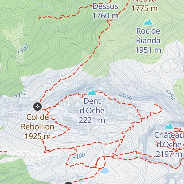
There's an alpine trail (T4) leading to the summit. Dent d'Oche is one of the 1 peaks along the Dent d'Oche.
The nearest mountain hut is Refuge de la Dent d'Oche located 230m/755ft W of the summit.
By elevation Dent d'Oche is
# 14 out of 262 in Geopark Chablais # 15 out of 370 in the Chablais Alps
By prominence Dent d'Oche is
# 15 out of 262 in Geopark Chablais # 68 out of 1207 in Upper Savoy # 20 out of 370 in the Chablais Alps # 75 out of 1273 in the Savoy Prealps
We use GPS information embedded into the photo when it is available.
3D mountains overlay
Adjust mountain panorama to perfectly match your photos because recorded by camera photo position might be imprecise.
Move tool
Rotate tool
Zoom
More customization
Choose which peak labels should make into the final photo and what photo title should be.
Next
Photo Location
Satellitte
Flat map
Relief map
Latitude
Longitude
Altitude
OR
Latitude
°'''
Longitude
°'''
Apply
Register Peak
Peak Name
Latitude
Longitude
Altitude
Register
Teleport
PeakVisor
This 3D model of Sagarmatha National Park in Nepal was made using the PeakVisor app topographic data. The mobile app features higher precision models worldwide, more topographic details, and works offline. Download PeakVisor maps today.
Download OBJ model
PeakVisor
The download should start shortly. If you find it useful please consider supporting the PeakVisor app.
PeakVisor for iOS and Android
Be a superhero of outdoor navigation with state-of-the-art 3D maps and mountain identification in the palm of your hand!


.jpg)