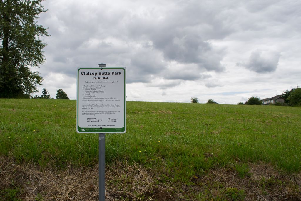
Clatsop Butte is an upland butte lying directly south of Powell Butte in southeast Portland, Oregon, United States. Clatsop Butte City Park, which occupies part of the butte, is at coordinates 45°28′28″N 122°30′24″W at an elevation of 577 feet (176 m). Johnson Creek, Southeast Foster Road, and the Springwater Corridor Trail pass between Powell Butte and Clatsop Butte near Southeast 152nd Avenue.
The City of Portland acquired about 16 acres (6.5 ha) of land on the butte for a park and natural area in 2000. Other land acquisitions increased the park's size to 102 acres (0.41 km2) by 2007 but led to controversy about public expenditures. A 16-member oversight committee was to review the purchases in 2008 to decide whether the money had been wisely spent.
As of 2008, Metro the regional government in the Oregon part of the Portland metropolitan area, included 49 acres (20 ha) of the acreage on its list of protected natural areas. The natural area, comprising densely forested hillsides and creek frontage, supports wildlife including deer, foxes, coyotes, northern flickers, pileated woodpeckers and other local and migratory birds.
There's a trail called Clatsop Butte Park Trail leading to the summit.
We use GPS information embedded into the photo when it is available.
3D mountains overlay
Adjust mountain panorama to perfectly match your photos because recorded by camera photo position might be imprecise.
Move tool
Rotate tool
Zoom
More customization
Choose which peak labels should make into the final photo and what photo title should be.
Next
Photo Location
Satellitte
Flat map
Relief map
Latitude
Longitude
Altitude
OR
Latitude
°'''
Longitude
°'''
Apply
Register Peak
Peak Name
Latitude
Longitude
Altitude
Register
Teleport
PeakVisor
This 3D model of Sagarmatha National Park in Nepal was made using the PeakVisor app topographic data. The mobile app features higher precision models worldwide, more topographic details, and works offline. Download PeakVisor maps today.
Download OBJ model
PeakVisor
The download should start shortly. If you find it useful please consider supporting the PeakVisor app.
PeakVisor for iOS and Android
Be a superhero of outdoor navigation with state-of-the-art 3D maps and mountain identification in the palm of your hand!