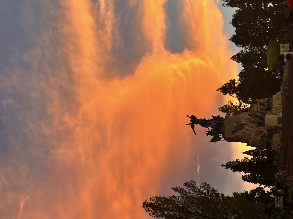
The Cerro de la Gloria (Glory Hill) is a small mount located in the city of Mendoza, Argentina, at the General San Martín Park. It features a huge memorial monument to the Army of the Andes at the top. The monument is the work of Uruguayan sculptor Juan Manuel Ferrari, along with the Argentines Juan Carlos Oliva Navarro, Víctor Garino, Víctor Calistri, Víctor Guarini y Víctor Cerini. It was begun in 1911, as part of the celebrations of the Argentina Centennial of 1910. It was inaugurated on February 12, 1914, an anniversary of the Battle of Chacabuco. It features at its top an allegorical representation of Freedom (Libertad) or the Republic (La República) with broken chains, and an equestrian statue of San Martin, with the inscription "La Patria al Ejército de los Andes" ("The Fatherland to the Army of the Andes").
There's a trail called Bajada del cerro leading to the summit.
By elevation Cerro de La Gloria is
# 1 out of 1 in Sección 9ª Parque General San Martín
By prominence Cerro de La Gloria is
# 1 out of 1 in Sección 9ª Parque General San Martín
We use GPS information embedded into the photo when it is available.
3D mountains overlay
Adjust mountain panorama to perfectly match your photos because recorded by camera photo position might be imprecise.
Move tool
Rotate tool
Zoom
More customization
Choose which peak labels should make into the final photo and what photo title should be.
Next
Photo Location
Satellitte
Flat map
Relief map
Latitude
Longitude
Altitude
OR
Latitude
°'''
Longitude
°'''
Apply
Register Peak
Peak Name
Latitude
Longitude
Altitude
Register
Teleport
PeakVisor
This 3D model of Sagarmatha National Park in Nepal was made using the PeakVisor app topographic data. The mobile app features higher precision models worldwide, more topographic details, and works offline. Download PeakVisor maps today.
Download OBJ model
PeakVisor
The download should start shortly. If you find it useful please consider supporting the PeakVisor app.
PeakVisor for iOS and Android
Be a superhero of outdoor navigation with state-of-the-art 3D maps and mountain identification in the palm of your hand!