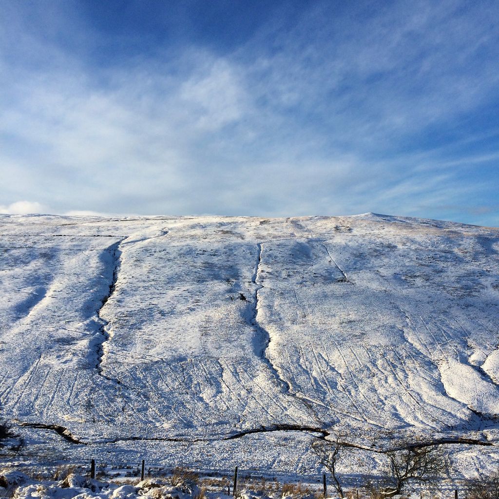
Cefn Cul is a hill in the Fforest Fawr sector of the Brecon Beacons National Park in Powys, southern Wales. It is a broad north-northeast to south-southwest aligned ridge whose summit reaches a height of 562 m above sea level. The hill is bounded to the west by the upper valley of the River Tawe though which the old Trecastle road runs whilst to the east is the pass of Bwlch Bryn-rhudd over which the A4067 road runs from the Crai valley south to that of the Tawe.
We use GPS information embedded into the photo when it is available.
3D mountains overlay
Adjust mountain panorama to perfectly match your photos because recorded by camera photo position might be imprecise.
Move tool
Rotate tool
Zoom
More customization
Choose which peak labels should make into the final photo and what photo title should be.
Next
Photo Location
Satellitte
Flat map
Relief map
Latitude
Longitude
Altitude
OR
Latitude
°'''
Longitude
°'''
Apply
Register Peak
Peak Name
Latitude
Longitude
Altitude
Register
Teleport
PeakVisor
This 3D model of Sagarmatha National Park in Nepal was made using the PeakVisor app topographic data. The mobile app features higher precision models worldwide, more topographic details, and works offline. Download PeakVisor maps today.
Download OBJ model
PeakVisor
The download should start shortly. If you find it useful please consider supporting the PeakVisor app.
PeakVisor for iOS and Android
Be a superhero of outdoor navigation with state-of-the-art 3D maps and mountain identification in the palm of your hand!