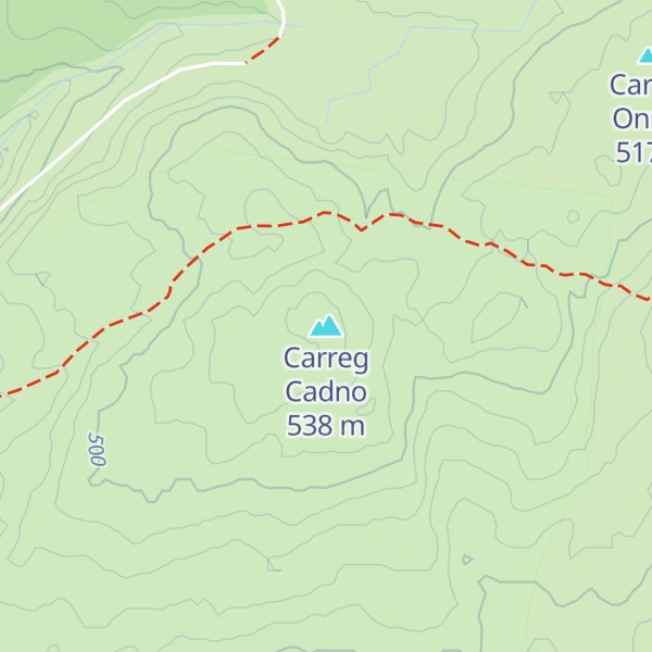
Carreg Cadno (Welsh for 'rock of the fox'') is a hill five miles northeast of Abercraf in the county of Powys, south Wales. It lies within the Brecon Beacons National Park and Fforest Fawr Geopark. Its summit at OS grid ref SN 874161 reaches a height of 538m / 1763 ft above sea level. The hill is within the Ogof Ffynnon Ddu National Nature Reserve which is owned and managed by the Countryside Council for Wales.
By elevation Carreg Cadno is
# 1 out of 2 in Ogof Ffynnon Ddu Nature Reserve # 88 out of 172 in Brecon Beacons National Park
By prominence Carreg Cadno is
# 1 out of 2 in Ogof Ffynnon Ddu Nature Reserve # 83 out of 172 in Brecon Beacons National Park
We use GPS information embedded into the photo when it is available.
3D mountains overlay
Adjust mountain panorama to perfectly match your photos because recorded by camera photo position might be imprecise.
Move tool
Rotate tool
Zoom
More customization
Choose which peak labels should make into the final photo and what photo title should be.
Next
Photo Location
Satellitte
Flat map
Relief map
Latitude
Longitude
Altitude
OR
Latitude
°'''
Longitude
°'''
Apply
Register Peak
Peak Name
Latitude
Longitude
Altitude
Register
Teleport
PeakVisor
This 3D model of Sagarmatha National Park in Nepal was made using the PeakVisor app topographic data. The mobile app features higher precision models worldwide, more topographic details, and works offline. Download PeakVisor maps today.
Download OBJ model
PeakVisor
The download should start shortly. If you find it useful please consider supporting the PeakVisor app.
PeakVisor for iOS and Android
Be a superhero of outdoor navigation with state-of-the-art 3D maps and mountain identification in the palm of your hand!