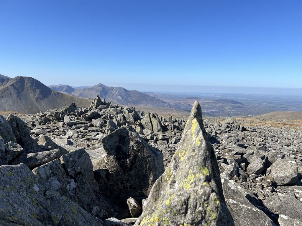
Carnedd Gwenllian, previously known as Carnedd Uchaf until 2009, is a minor summit of the Carneddau range in Snowdonia, Wales, and included in the Welsh 3000s. From the summit, distant views to the north can extend as far as Ireland and the Isle of Man, and to the South as far as the Berwyn Ranges.
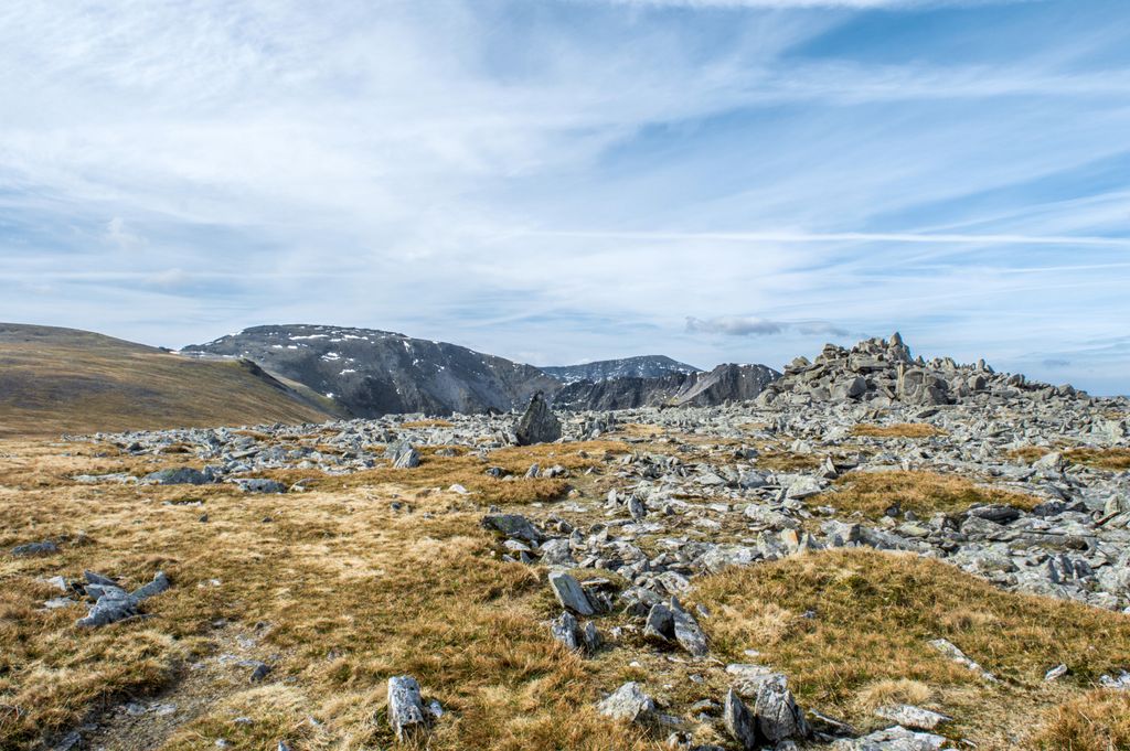
It lies between Foel Fras and Foel Grach, but is not always included in the Welsh 3000s, as its summit rises only slightly above the ridge. However, it is classed as a Hewitt. Its slopes, like all those in the northern Carneddau, are largely grassy, although they are steep. The slopes can receive significant accumulations of snow-drifts during blizzards in winter. In the past, snow beds have survived on the mountain as far as June. The annual average temperature on Carnedd Uchaf is relatively cold, ranging between 4-5 degrees Celsius.
For some years there was a campaign by the Princess Gwenllian Society to have the name of this peak changed from Carnedd Uchaf to Carnedd Gwenllian. Gwenllian of Wales (1282–1337) was the only daughter of Llywelyn ap Gruffudd. After her father's death, and when still an infant, she was taken to a nunnery at Sempringham in Lincolnshire and held captive there until she died, a few days before her 55th birthday. In September 2009, the summit was renamed Carnedd Gwenllian, and the Ordnance Survey agreed to use the dual name Carnedd Uchaf/Carnedd Gwenllian on its maps from 2010 onwards.
There's a hiking trail (T1) leading to the summit. Carnedd Gwenllian is one of the 17 peaks along the Welsh Three Thousands.
The nearest mountain hut is Cwm Dulyn Bothy located 1 853m/6 079ft E of the summit.
By elevation Carnedd Gwenllian is
# 17 out of 3092 in the Wales Mountains # 17 out of 572 in Snowdonia National Park # 13 out of 731 in Gwynedd # 11 out of 265 in Conwy # 17 out of 3083 in Wales
We use GPS information embedded into the photo when it is available.
3D mountains overlay
Adjust mountain panorama to perfectly match your photos because recorded by camera photo position might be imprecise.
Move tool
Rotate tool
Zoom
More customization
Choose which peak labels should make into the final photo and what photo title should be.
Next
Photo Location
Satellitte
Flat map
Relief map
Latitude
Longitude
Altitude
OR
Latitude
°'''
Longitude
°'''
Apply
Register Peak
Peak Name
Latitude
Longitude
Altitude
Register
Teleport
PeakVisor
This 3D model of Sagarmatha National Park in Nepal was made using the PeakVisor app topographic data. The mobile app features higher precision models worldwide, more topographic details, and works offline. Download PeakVisor maps today.
Download OBJ model
PeakVisor
The download should start shortly. If you find it useful please consider supporting the PeakVisor app.
PeakVisor for iOS and Android
Be a superhero of outdoor navigation with state-of-the-art 3D maps and mountain identification in the palm of your hand!