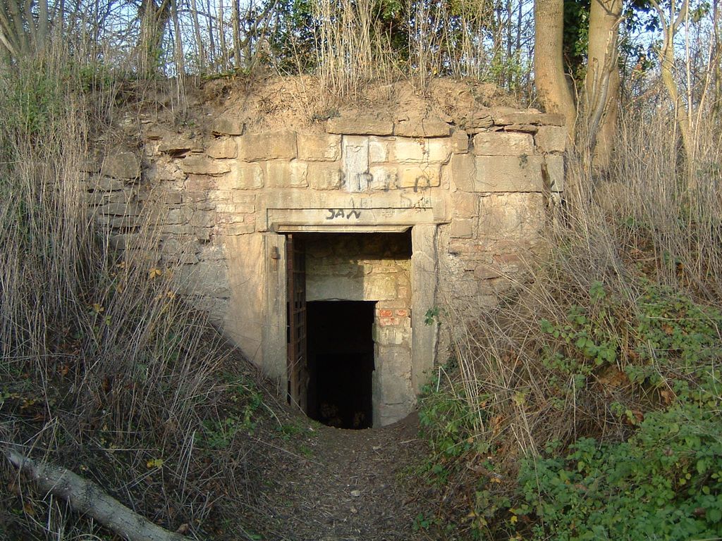
The Calenberg is a hill in central Germany in the Leine depression near Pattensen in the municipality of Schulenburg. It lies 13 km west of the city of Hildesheim in south Lower Saxony on the edge of the Central Uplands. It is made from a chalk marl slab (Kalkmergelbank), has a height of 70 m above NN and was formed almost 100 million years ago at the beginning of the Upper Cretaceous series in Cenomanian stage. The Calenberg became historically important as a result of the fort, stronghold and castle built as the main residence of the House of Hanover.
We use GPS information embedded into the photo when it is available.
3D mountains overlay
Adjust mountain panorama to perfectly match your photos because recorded by camera photo position might be imprecise.
Move tool
Rotate tool
Zoom
More customization
Choose which peak labels should make into the final photo and what photo title should be.
Next
Photo Location
Satellitte
Flat map
Relief map
Latitude
Longitude
Altitude
OR
Latitude
°'''
Longitude
°'''
Apply
Register Peak
Peak Name
Latitude
Longitude
Altitude
Register
Teleport
PeakVisor
This 3D model of Sagarmatha National Park in Nepal was made using the PeakVisor app topographic data. The mobile app features higher precision models worldwide, more topographic details, and works offline. Download PeakVisor maps today.
Download OBJ model
PeakVisor
The download should start shortly. If you find it useful please consider supporting the PeakVisor app.
PeakVisor for iOS and Android
Be a superhero of outdoor navigation with state-of-the-art 3D maps and mountain identification in the palm of your hand!