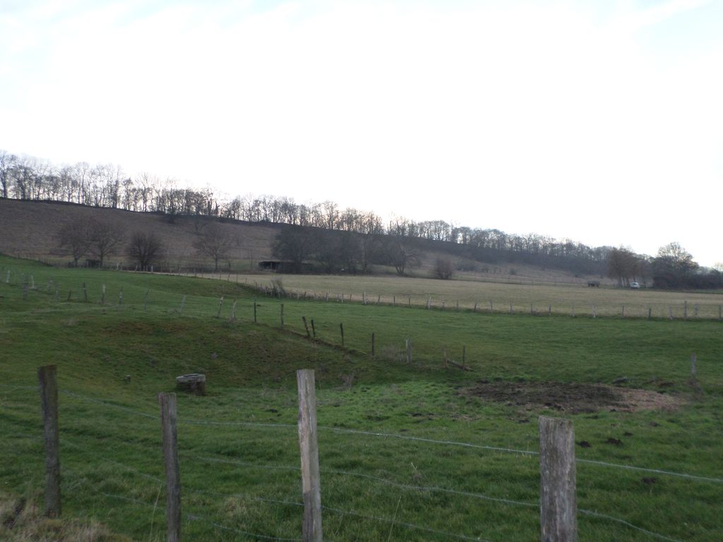
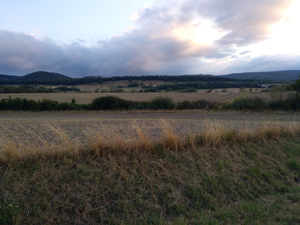
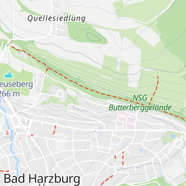
The Butterberg is an elongated hill northeast of the spa town of Bad Harzburg in Goslar district, in the German state of Lower Saxony. Its long crest, which since 1952 is protected as a nature reserve, reaches a height of 308 m above NN.
Part of the northern Harz foothills, the hill is located north of the Harz Nature Park at the rim of the Harz National Park. The Butterberg is part of the Harz - Brunswick Land - Eastphalia National Geopark; its steeply inclined strata belong to the Northern Harz Boundary Fault. In the west, the hill is bounded by the Radau river and the parallel Bundesstraße 4 highway. The mountain-ridge path offers scenic views to the Harz mountains and over the North German Plain.
The name Butter is associated with Low German buten (i.e. "outside", c.f. Buten and binnen). These are therefore hills lying outside or on the edge of given places. There are many other "Butterberg" hills in German-speaking regions.
We use GPS information embedded into the photo when it is available.
3D mountains overlay
Adjust mountain panorama to perfectly match your photos because recorded by camera photo position might be imprecise.
Move tool
Rotate tool
Zoom
More customization
Choose which peak labels should make into the final photo and what photo title should be.
Next
Photo Location
Satellitte
Flat map
Relief map
Latitude
Longitude
Altitude
OR
Latitude
°'''
Longitude
°'''
Apply
Register Peak
Peak Name
Latitude
Longitude
Altitude
Register
Teleport
PeakVisor
This 3D model of Sagarmatha National Park in Nepal was made using the PeakVisor app topographic data. The mobile app features higher precision models worldwide, more topographic details, and works offline. Download PeakVisor maps today.
Download OBJ model
PeakVisor
The download should start shortly. If you find it useful please consider supporting the PeakVisor app.
PeakVisor for iOS and Android
Be a superhero of outdoor navigation with state-of-the-art 3D maps and mountain identification in the palm of your hand!