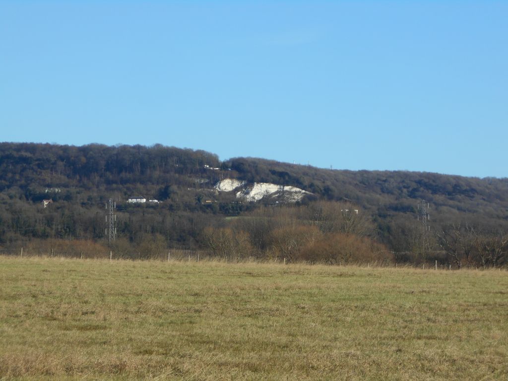
Blue Bell Hill is a chalk hill between Maidstone and Rochester in the English county of Kent. It overlooks the River Medway and is part of the North Downs. Settlements on the hill include the Walderslade suburb of Chatham and the villages of Blue Bell Hill and Kit's Coty. During the eighteenth and nineteenth centuries much of the hill was quarried for chalk.
The hill is a 5-hectare (12-acre) nature reserve which is managed by Kent Wildlife Trust. It is also part of the Kent Downs Area of Outstanding Natural Beauty and Wouldham to Detling Escarpment Sites of Special Scientific Interest and is a Nature Conservation Review site, Grade I.
A picnic area serves as a rest point for walkers on the North Downs Way which runs along the top of the hill, whilst the prehistoric trackway of the Pilgrims' Way skirts its foot. A modern crematorium also surmounts the hill.
The A229 dual carriageway follows the route of a former Roman road and climbs the hill, today linking the M2 and M20 motorways. High Speed 1 runs beneath the hill, via the North Downs Tunnel, and archaeological work in advance of it uncovered a Neolithic long house on its slopes. The Bluebell Hill transmitting station is on the hill, as is the Lower Bell pub. The Upper Bell pub was closed around March 2005 due to the reduced demand caused by the closure of a slip-lane onto the southbound A229, and then demolished in 2013.
There's a trail leading to the summit. Bluebell Hill is one of the 8 peaks along the multi-day North Downs Way.
We use GPS information embedded into the photo when it is available.
3D mountains overlay
Adjust mountain panorama to perfectly match your photos because recorded by camera photo position might be imprecise.
Move tool
Rotate tool
Zoom
More customization
Choose which peak labels should make into the final photo and what photo title should be.
Next
Photo Location
Satellitte
Flat map
Relief map
Latitude
Longitude
Altitude
OR
Latitude
°'''
Longitude
°'''
Apply
Register Peak
Peak Name
Latitude
Longitude
Altitude
Register
Teleport
PeakVisor
This 3D model of Sagarmatha National Park in Nepal was made using the PeakVisor app topographic data. The mobile app features higher precision models worldwide, more topographic details, and works offline. Download PeakVisor maps today.
Download OBJ model
PeakVisor
The download should start shortly. If you find it useful please consider supporting the PeakVisor app.
PeakVisor for iOS and Android
Be a superhero of outdoor navigation with state-of-the-art 3D maps and mountain identification in the palm of your hand!