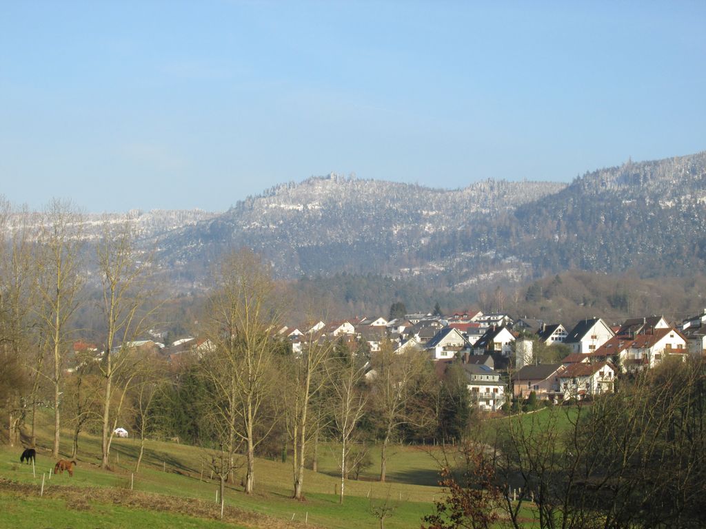
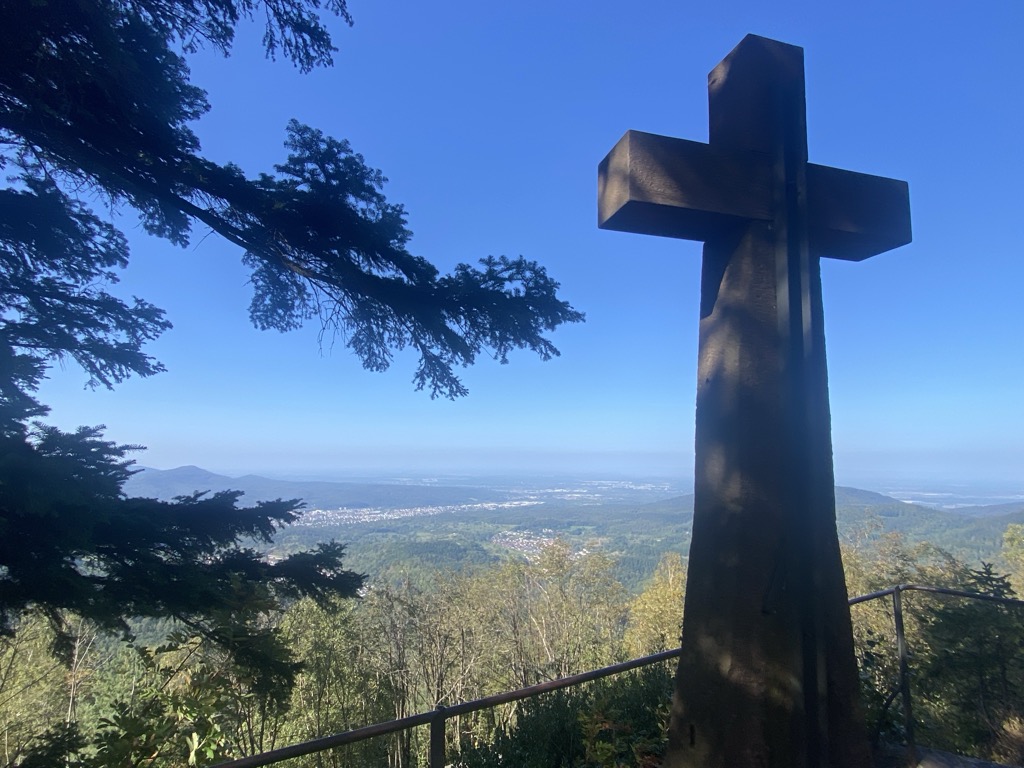
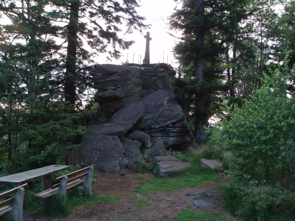
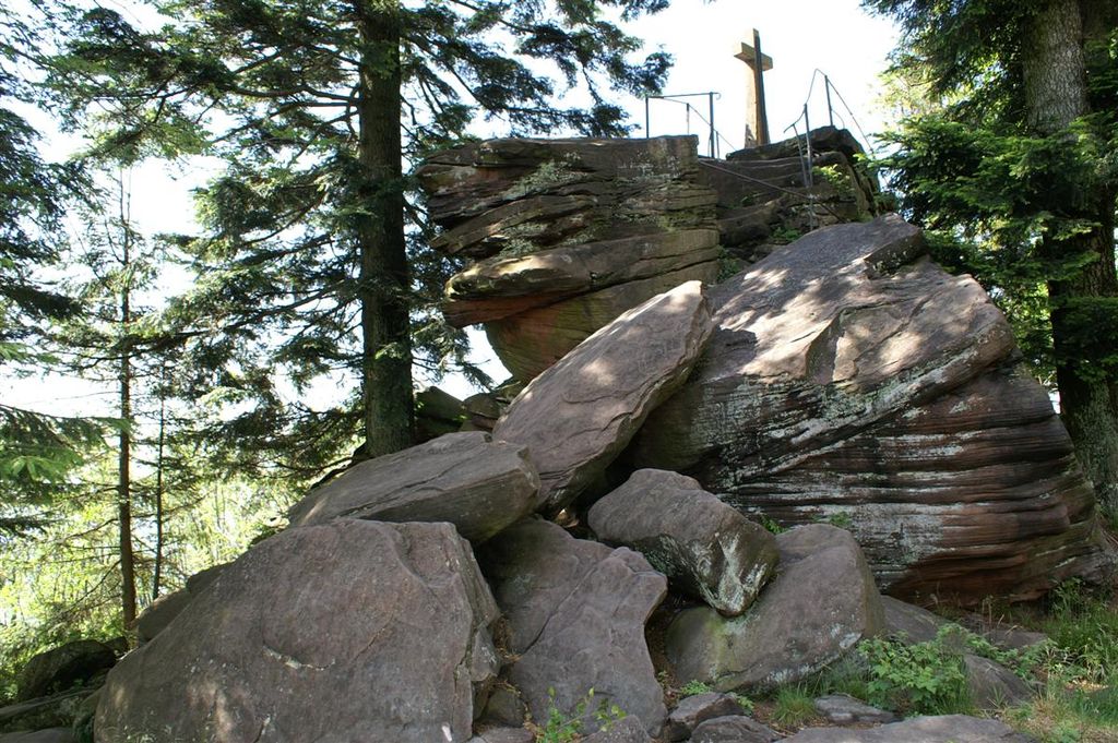
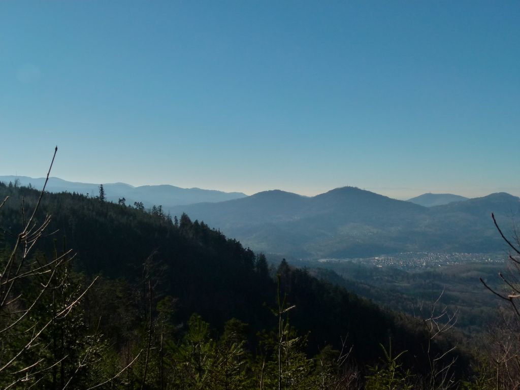
The Bernstein is a mountain, 693.5 m above sea level (NHN), in the Northern Black Forest within the borough of Gaggenau (estate of Rotenfels), and the borough of Bad Herrenalb, (estate of Bernbach). It is part of the ridge that borders the lower Murg valley on its eastern side. The summit of this mountain is formed by a six-metre-high crag made of bunter sandstone with a flat top, 25 m² in area, from where there are good views.
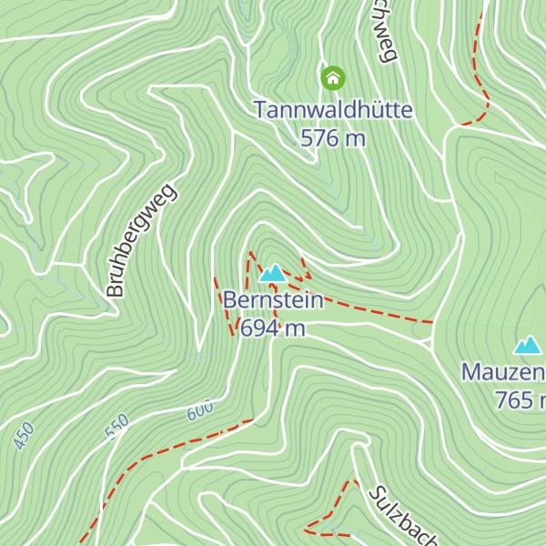
There's a trail leading to the summit. Bernstein is one of the 2 peaks along the Richard-Massinger-Weg (Wanderweg Ettlingen - Bernstein).
The nearest mountain hut is Bernsteinhütte located 24m/78ft ESE of the summit.
By elevation Bernstein is
# 1 out of 1 in Naturdenkmal Bernsteinfels # 58 out of 95 in Landkreis Rastatt # 54 out of 136 in Landkreis Calw
By prominence Bernstein is
# 1 out of 1 in Naturdenkmal Bernsteinfels # 54 out of 95 in Landkreis Rastatt # 83 out of 136 in Landkreis Calw
We use GPS information embedded into the photo when it is available.
3D mountains overlay
Adjust mountain panorama to perfectly match your photos because recorded by camera photo position might be imprecise.
Move tool
Rotate tool
Zoom
More customization
Choose which peak labels should make into the final photo and what photo title should be.
Next
Photo Location
Satellitte
Flat map
Relief map
Latitude
Longitude
Altitude
OR
Latitude
°'''
Longitude
°'''
Apply
Register Peak
Peak Name
Latitude
Longitude
Altitude
Register
Teleport
PeakVisor
This 3D model of Sagarmatha National Park in Nepal was made using the PeakVisor app topographic data. The mobile app features higher precision models worldwide, more topographic details, and works offline. Download PeakVisor maps today.
Download OBJ model
PeakVisor
The download should start shortly. If you find it useful please consider supporting the PeakVisor app.
PeakVisor for iOS and Android
Be a superhero of outdoor navigation with state-of-the-art 3D maps and mountain identification in the palm of your hand!


.jpg)
.jpg)