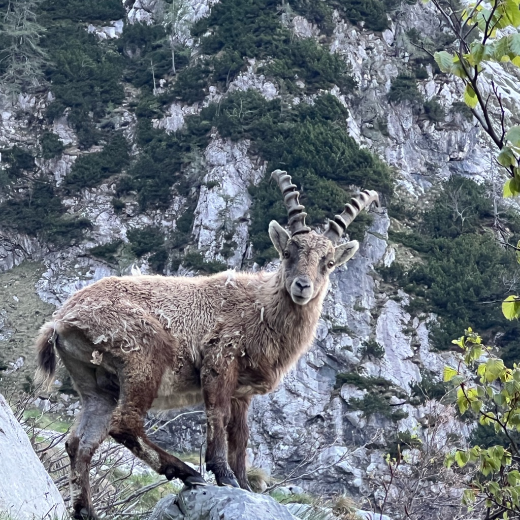
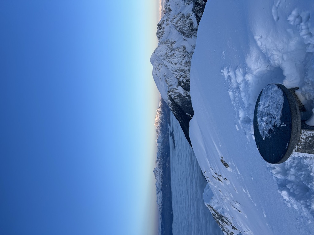
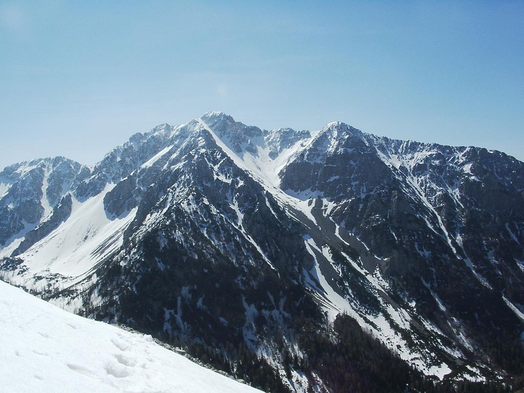
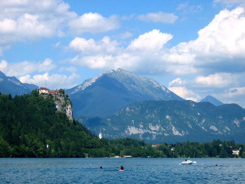
Begunjščica is a ridge mountain in the Karawanks. It rises from the western Smokuč mountain pasture (Slovene: Smokuška planina) to St. Anne (Sv. Ana) on its eastern side. The mountain has three main peaks, the highest being Big Peak (Veliki vrh, 2,060 metres or 6,760 feet). The western Middle Peak (Srednji vrh) lies a little lower, and the lowest is Begunje Mount Vrtača (Begunjska Vrtača, 1,997 m or 6,552 ft). Its southern slopes rise over the Draga Valley. The ascent of the mountain is relatively easy and possible throughout the year. In the winter and early spring conditions are favourable for ski touring.
There's a demading hiking trail (T3) called 1 leading to the summit. Begunjščica is one of the 83 peaks along the multi-day Slovenian mountain trail.
The nearest mountain hut is Planinski dom na Zelenici located 814m/2 670ft N of the summit.
By elevation Begunjščica is
# 34 out of 1130 in the Karavanks # 67 out of 1086 in the Carinthian-Slovenian Alps
We use GPS information embedded into the photo when it is available.
3D mountains overlay
Adjust mountain panorama to perfectly match your photos because recorded by camera photo position might be imprecise.
Move tool
Rotate tool
Zoom
More customization
Choose which peak labels should make into the final photo and what photo title should be.
Next
Photo Location
Satellitte
Flat map
Relief map
Latitude
Longitude
Altitude
OR
Latitude
°'''
Longitude
°'''
Apply
Register Peak
Peak Name
Latitude
Longitude
Altitude
Register
Teleport
PeakVisor
This 3D model of Sagarmatha National Park in Nepal was made using the PeakVisor app topographic data. The mobile app features higher precision models worldwide, more topographic details, and works offline. Download PeakVisor maps today.
Download OBJ model
PeakVisor
The download should start shortly. If you find it useful please consider supporting the PeakVisor app.
PeakVisor for iOS and Android
Be a superhero of outdoor navigation with state-of-the-art 3D maps and mountain identification in the palm of your hand!