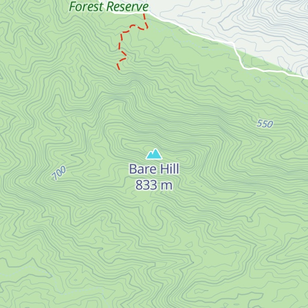
Bare Hill is a mountain in the locality of Koah in the Shire of Mareeba in North Queensland, Australia. It is located in the Bare Hill Conservation Park and is noted for its significant Aboriginal rock art. Bare Hill rises to 841 metres (2,759 ft) above sea level.
The rock art site at Bare Hill is at least 3500 years old according to scientists at James Cook University. It is part of the traditional lands of the Bulwai people who lived i the open forest area to the west, around Clohesy River, the Davies Creek and Emerald Creek. The rock art depicts the legend of Ganandoran who was badly burned by two women and he came to the site to die, so the Bulwai women decided to give birth at this rock.
We use GPS information embedded into the photo when it is available.
3D mountains overlay
Adjust mountain panorama to perfectly match your photos because recorded by camera photo position might be imprecise.
Move tool
Rotate tool
Zoom
More customization
Choose which peak labels should make into the final photo and what photo title should be.
Next
Photo Location
Satellitte
Flat map
Relief map
Latitude
Longitude
Altitude
OR
Latitude
°'''
Longitude
°'''
Apply
Register Peak
Peak Name
Latitude
Longitude
Altitude
Register
Teleport
PeakVisor
This 3D model of Sagarmatha National Park in Nepal was made using the PeakVisor app topographic data. The mobile app features higher precision models worldwide, more topographic details, and works offline. Download PeakVisor maps today.
Download OBJ model
PeakVisor
The download should start shortly. If you find it useful please consider supporting the PeakVisor app.
PeakVisor for iOS and Android
Be a superhero of outdoor navigation with state-of-the-art 3D maps and mountain identification in the palm of your hand!