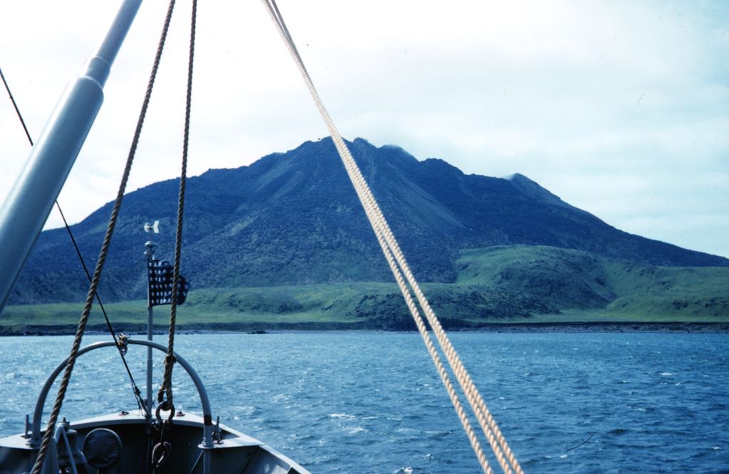
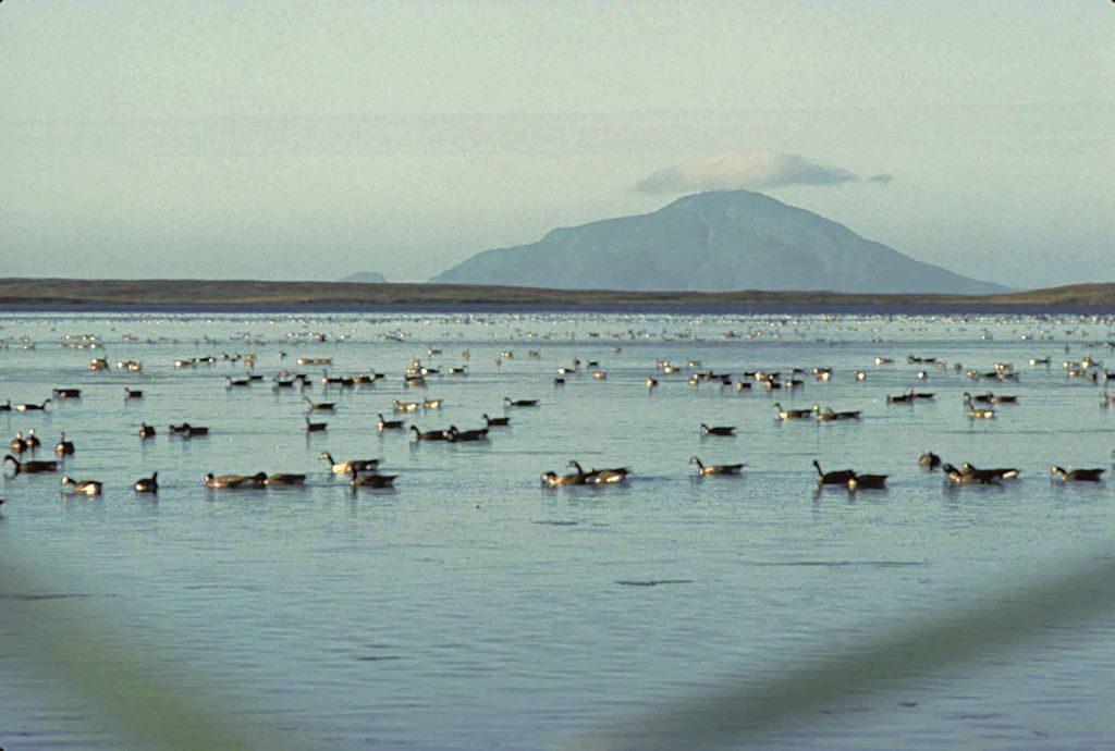
Amak Volcano is a basaltic andesite stratovolcano in the Aleutian Islands of Alaska, United States, 618 miles (995 km) from Anchorage. It is located on the eponymous island, 31 miles (50 km) from Frosty Volcano and near the edge of the Alaskan Peninsula's western flank. Only boats are allowed to access the island with a certain permit.
Blocky (dotted with flat blocks of minerals and crystals) lava flows stream from its summit to its flanks. Three historical eruptions have taken place – two within the 18th century, the first from 1700 to 1710, and the latter in 1796. The earliest prehistoric eruption was believed to have taken place between 3050 and 2050 BCE.
By elevation Amak Volcano is
# 40 out of 82 in Aleutians East
By prominence Amak Volcano is
# 23 out of 82 in Aleutians East # 81 out of 297 in the Aleutian Range
We use GPS information embedded into the photo when it is available.
3D mountains overlay
Adjust mountain panorama to perfectly match your photos because recorded by camera photo position might be imprecise.
Move tool
Rotate tool
Zoom
More customization
Choose which peak labels should make into the final photo and what photo title should be.
Next
Photo Location
Satellitte
Flat map
Relief map
Latitude
Longitude
Altitude
OR
Latitude
°'''
Longitude
°'''
Apply
Register Peak
Peak Name
Latitude
Longitude
Altitude
Register
Teleport
PeakVisor
This 3D model of Sagarmatha National Park in Nepal was made using the PeakVisor app topographic data. The mobile app features higher precision models worldwide, more topographic details, and works offline. Download PeakVisor maps today.
Download OBJ model
PeakVisor
The download should start shortly. If you find it useful please consider supporting the PeakVisor app.
PeakVisor for iOS and Android
Be a superhero of outdoor navigation with state-of-the-art 3D maps and mountain identification in the palm of your hand!