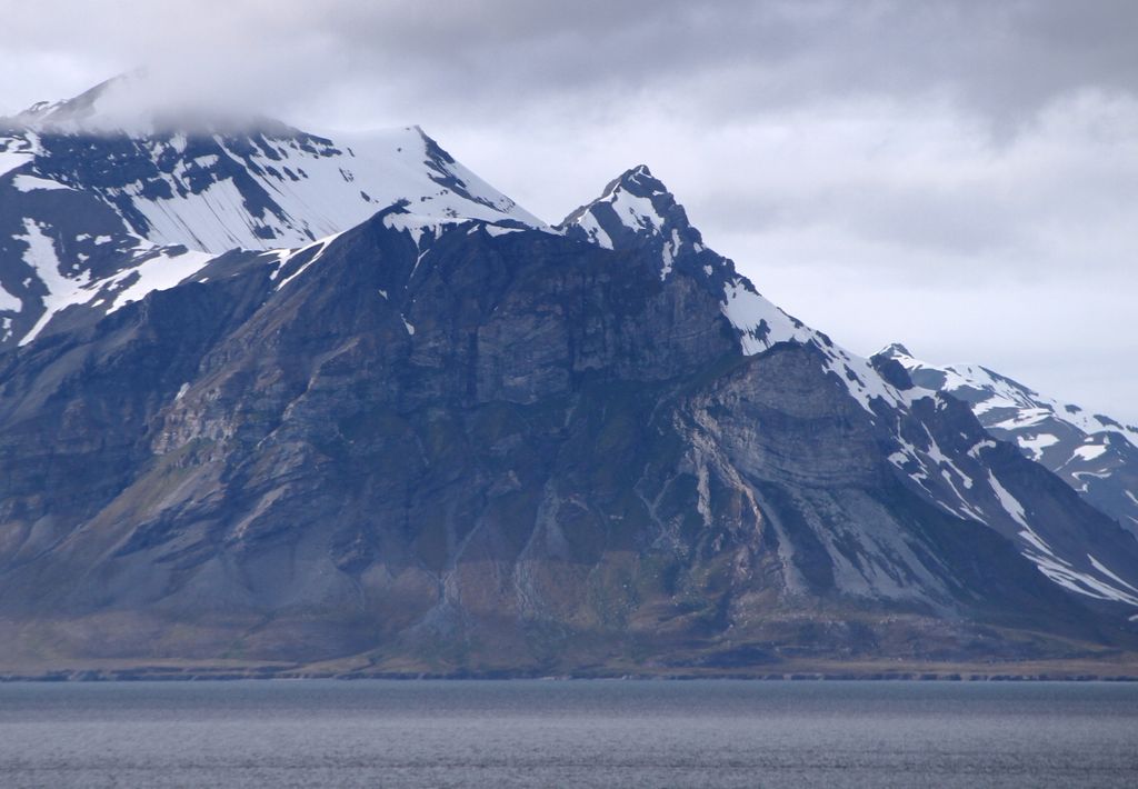
Alkhornet is a mountain on the western coast of Spitsbergen, the largest island of Norway’s arctic Svalbard archipelago. It is 428 m in height and stands in southern Oscar II Land on the northern side of the entrance to the inlet of Isfjorden near the bay of Trygghamna. It has been identified as an Important Bird Area (IBA) by BirdLife International because its cliffs support about 10,000 breeding pairs of seabirds. The cliffs are composed of metamorphosed carbonate rock, over a billion years old. The moss tundra below the cliffs receives nutrients from the seabird colonies and is lush in places, providing grazing grounds for reindeer, nesting places for geese and denning sites for Arctic foxes.
We use GPS information embedded into the photo when it is available.
3D mountains overlay
Adjust mountain panorama to perfectly match your photos because recorded by camera photo position might be imprecise.
Move tool
Rotate tool
Zoom
More customization
Choose which peak labels should make into the final photo and what photo title should be.
Next
Photo Location
Satellitte
Flat map
Relief map
Latitude
Longitude
Altitude
OR
Latitude
°'''
Longitude
°'''
Apply
Register Peak
Peak Name
Latitude
Longitude
Altitude
Register
Teleport
PeakVisor
This 3D model of Sagarmatha National Park in Nepal was made using the PeakVisor app topographic data. The mobile app features higher precision models worldwide, more topographic details, and works offline. Download PeakVisor maps today.
Download OBJ model
PeakVisor
The download should start shortly. If you find it useful please consider supporting the PeakVisor app.
PeakVisor for iOS and Android
Be a superhero of outdoor navigation with state-of-the-art 3D maps and mountain identification in the palm of your hand!