Get PeakVisor App
Sign In
Search by GPS coordinates
- Latitude
- ° ' ''
- Longitude
- ° ' ''
- Units of Length

Yes
Cancel
❤ Wishlist ×
Choose
Delete
Surrounding Yangmingshan National Park’s (陽明山國家公園) northwestern rim is the subtropical plant paradise of Zhuzishan Lujiaokeng River Outer Core Special Landscape Area (竹子山鹿角坑溪外圍核心特別景觀區). Comprising 10 named mountains, Xiao Guanyinshan West West Peak (小觀音山西西峰) is the highest peak at 1,056 meters (3,465 ft). At 898 meters (2,946 ft), Qingfenglun (清風崙) is the most prominent peak.
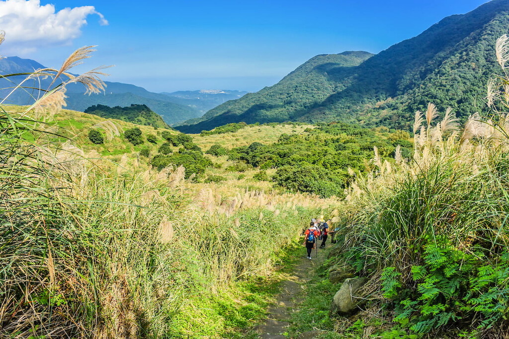
Northern Taiwan’s national park of smoky fumaroles, grassy plains, and remote wilderness occupies 113 km² (44m²). Situated at the north-west outer edge of Yangmingshan’s borders is the snaking pathway of Zhuzhishan Lujiaokeng River Outer Core Special Landscape Area.
Spreading across New Taipei City’s (新北市) Sanzhi (三芝區) and Taipei’s (臺北市) Shilin districts (士林區), the Zhuzhishan Lujiaokeng River’s lush forest is one of Yangmingshan’s wildest and most remote areas.
While primarily a dense jungle, there are accessible pathways leading to well-known peaks. Xiao Guanyinshan’s smaller peaks feature in the area, used as secondary trails after summiting the central peak. Other prominent hills in Zhuzhishan Lujiaokeng River’s zone are Mount Zhuzi Front Peak (竹子山前峰), Mount Son (嵩山), and Datun Anbu (大屯鞍部).
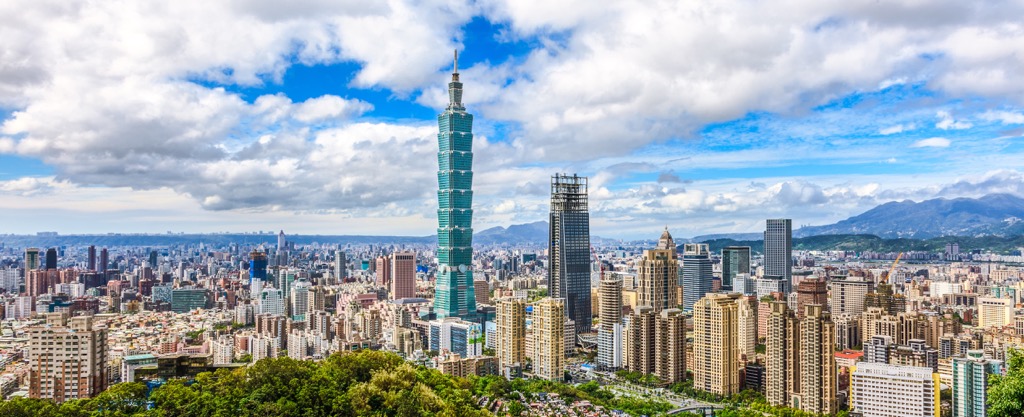
Known as Taipei’s back garden, Yangmingshan National Park has incredible views. Its smaller regions offer grand prospects, too. Especially from Xiao Guanyinshan’s peaks, you can admire Taipei’s staggering skyline.
Many well-known areas encircle Zhuzhishan Lujiaokeng River Outer Core Special Landscape Area. Qixingshan’s (七星山) steamy vents lie southeast of the area, while Beitou Hot Springs (北投温泉) is south of the hilly landscape.
Tamsui’s (淡水區) historical harbour and Wuji Tianyuan Temple (無極天元宮) lie to the west, while Laomei Green Reef (老梅綠石槽) sits north of Mount Zhuzhi Front Peak on the North Coast Coastal Reserve (北海岸沿海保護區).
Around 20 hills in Yangmingshan National Park are dormant volcanoes that erupted between 13,000 to 23,000 years ago. In the outlying region of Zhuzishan Lujiaokeng River, Xiao Guanyinshan and Zhuzishan’s peaks are volcanic mountains.
Due to the density of volcanic activity, many fumaroles and hot springs feature in Yangmingshan National Park. To the south of Zhuzishan Lujiaokeng River’s Special Landscape Area is Macao Hot Springs, and further south is Qixingshan’s sulfurous blowhole.
The ten hills forming Zhuzishan Lujiaokeng River Outer Core Special Landscape Area belong to the Pleistocene epoch. The rock bed comprises sedimentary rock with pyroxene and hornblende andesite intermingling.
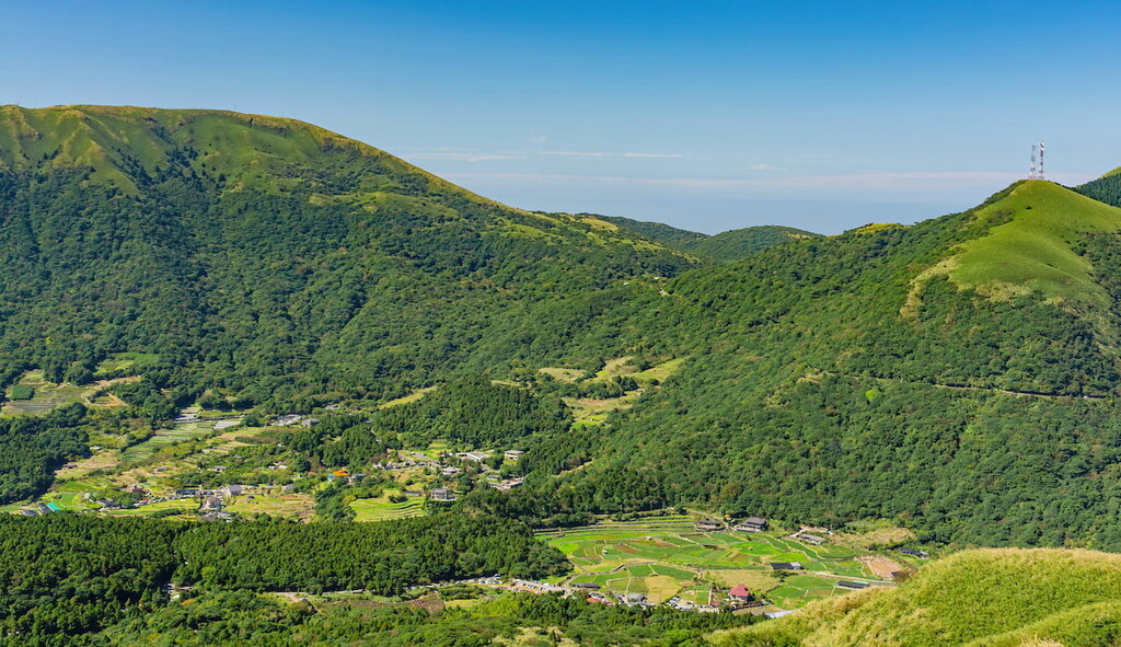
Zhuzishan Lujiaokeng River Outer Core Special Landscape Area’s volcanic terrain impacts the surrounding ecology. The high acidic soil content contributes to the unique environment.
Xiaoguanyinshan’s and Zhuzishan’s peaks are covered with arrow bamboo (Pseudosasa japonica). A mix of subtropical and temperate broad-leaved forests in the lower regions layers the ecological environment. The blistering northeast monsoon affects Taipei’s warm and humid location; thus, subtropical and temperate plants coexist in the forest.
A luscious plumage of temperate ferns dominates the ground cover plants. Japanese maple and Taiwanese sweetgum feature in the green, dense wilderness. Cherry blossom trees create a sightly appearance in spring, with their romantic hues of pretty pink petals.
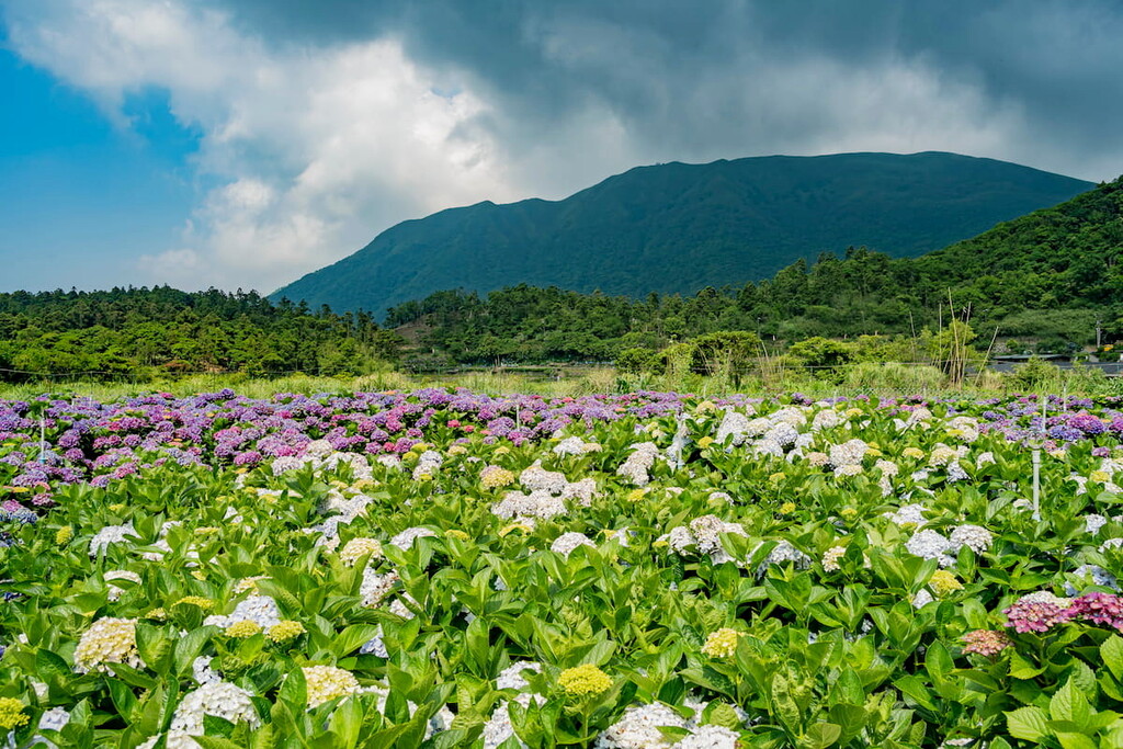
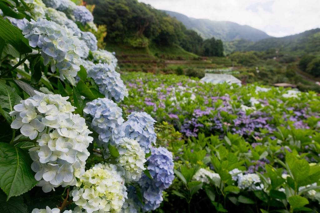
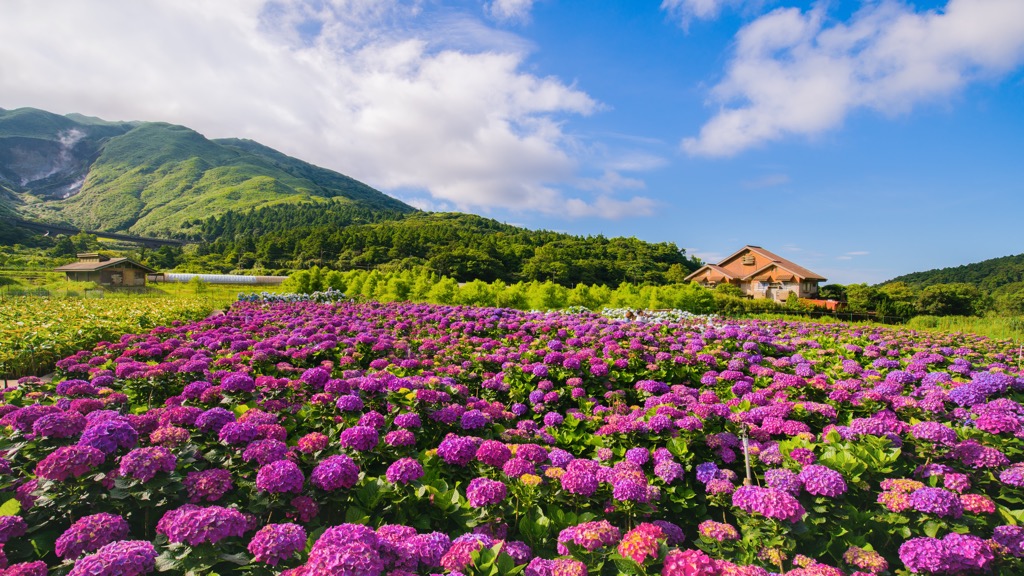
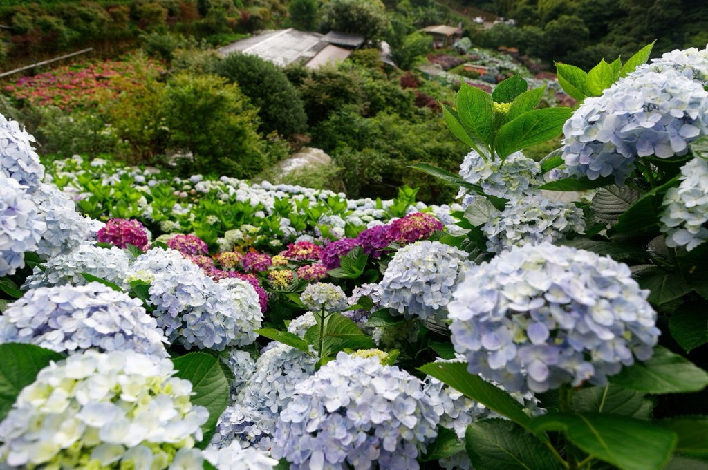
Other springtime flowers of azaleas, hydrangeas, and rhododendrons add a flourish of pastels. Plum blossoms and camellias bloom in winter, while autumnal golds transform maple leaves.
Zhuzishan Lujiaokeng River's volcanic hills produce sulfur deposits. In the 1800s and early 1900s, traders and merchants valued these minerals. Thus overnight looting of sulfur occurred in the 19th century before the park's establishment.
The government set fire to the dormant volcanic hills to ward off the thieves. These blazes would strip the land of its vegetation, and thus a field of hilly grass was the only greenery. Thus, what is now Yangmingshan National Park was referred to as 'Grass Mountain' or Caoshan for its minimalist environment.
The area of Xiao Guanyinshan, Datunshan and Qixingshan became Daiton National Park under Japanese rule. Over time, the park traded hands once the Japanese Occupation Era ended.
Rezoning of the park included New Taipei City's farming communities of Sanzhi, Shimen (石門區) and Jinshan (金山區). On 15 September 1985, Yangmingshan National Park was formed. Thus, park officials delineated the Zhuzishan Lujiaokeng River Outer Core Special Landscape Area and its other segmented zones.
Hikers particularly enjoy Zhuzishan Lujiaokeng River Outer Core Special Landscape Area’s wild foliage and forested routes. The most favorable hiking trails and areas are:
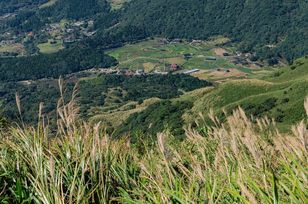
A large circular loop traverses Xiao Guanyinshan and its bordering peaks. The highlight of this mountain trail is the differing outlooks from the Xiao Guanyinshan’s peaks.
Xiao Guanyinshan West Peak (小觀音山西峰) is the first hill on the climbing agenda. As you ascend the prominent hill’s base, a dense field of arrow bamboo penetrates the environment. Be careful to stay on track as the wild foliage covers the path.
You may notice the odd presence of ghost money strewn along the course. The paper currency usually alerts you to a tragic mishap, but here it is used as a trail sign that you’re on the right path.
As you progress past Xiao Guanyinshan’s hefty bamboo corridor, the views begin to open. You can gaze onto Tamsui’s bustling harbor and the meandering Tamsui River and see Datunshan (大屯山) nearby.
From Xiao Guanyinshan West Peak’s summit, you can witness Xueshan’s (雪山 snow-capped pinnacle piercing the sky some 90 km (56 mi). At closer range, you can admire Xiao Guanyinshan and its encircling peaks.
Following the mesmerizing views, head further west to Xiao Guanyinshan West West Peak. The outlooks onto the farming communities of New Taipei City’s Sanzhi and Shimen districts begin to open up. Turn your gaze from the inner land towards the coast, where the East China Sea laps onto northern Taiwan’s shores.
You will then head northwards, summiting Xiao Guanyinshan North North Peak (小觀音山北北峰); that is all work for no rewards. The bamboo forest obscures any prospects. However, you can still admire the glorious path of beautiful broadleaf trees and cherry blossoms in the springtime.
A short trek to Xiao Guanyinshan North Peak (小觀音山北峰) overlooks Shimen’s coastal villages and flower farms, alight with cheerful color. Then, the central peak is the final mountain to climb.
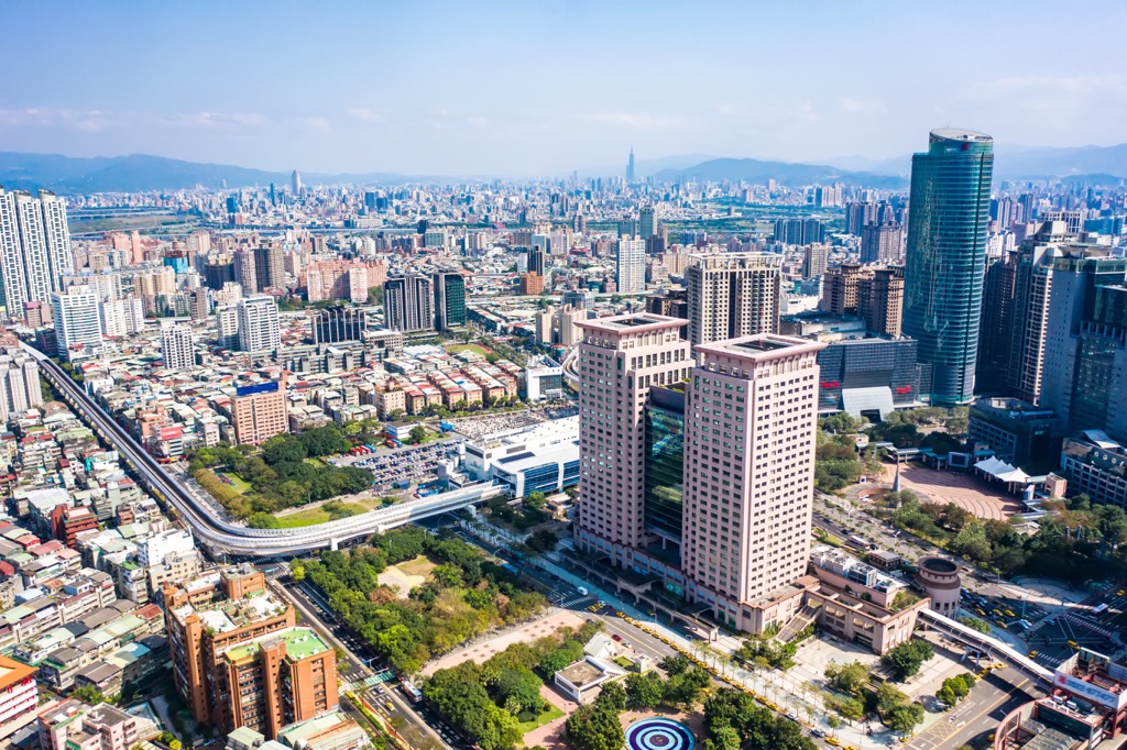
Once you’ve ascended Xiao Guanyinshan, you can see Qixingshan and its steamy vents in front of you. With its multi-story structures and quirky skyscrapers, the sunken Taipei Basin is in plain sight, as is the Tamsui River dissecting Taipei’s western city.
Nestled between Datunshan and Zhizhihushan (竹子湖山) is a hollow that once was a crater lake. While its water dried up, the fertile soil holds nutrients that produce a flourishing environment.
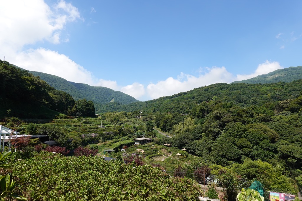
Zhuzihu (竹子湖) is now a thriving vegetable farm, growing crops such as bell peppers, Chinese yam, cucumber, tomato and calla. Every February, lily flowers stem from calla plants, creating a milky wash of flowers in the farming valley.
A popular attraction in late winter, you can explore the endless lily fields. Picturesque mountains overlook the creamy white blooms. Nearby local pine and bamboo farms are well-liked paths for visitors to wander after admiring the lily area.
Once used as a trading route between farming communities, the Lujiaokeng Ancient Road traces the Fenglin River. Walking along this 5 km (3 mi) route, you cross the elegant Fenglin Waterfall, a lovely place to rest and take in the scenery.
Most of the path is shaded with lush broadleaf trees, such as Taiwanese sweetgum and Japanese maple. Halfway along the path is the 20-meter (66 ft) high Fenglin Waterfall.
Watch the foamy white sheet of water plummet down the cliff, creating a hazy vapor you can both see and feel. The soft kiss of water spritz is a welcome respite from the heat and humidity of northern Taiwan.
South of Xiao Guanyinshan’s peak is Yangmingshan National Park’s iconic Datunshan peaks. Climb three mountains throughout 5.4 km (3.4 mi) as you walk amongst the wispy clouds on Datunshan’s hilly path.
You begin with the tallest peak first, Datunshan Main Peak. The vegetation is dense, with a mix of arrow bamboo and silvergrass. Once the forest clears, you can start viewing Taipei’s landmarks below. As Datunshan sits below Xiao Guanyinshan, the outlooks onto Taipei are closer.
Many visitors to Yangmingshan National Park enjoy summiting Datunshan to witness the spectacular sunrise and sunset. While delighting in the golden glow, the summer appearance of butterflies doubles as a beautiful sight.
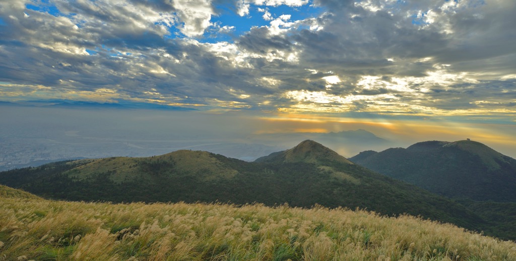
The route to Datunshan South Peak (大屯山南峰) and its West Peak (大屯山西峰) becomes increasingly challenging. A sharp drop and a slippery muddy path fall between the Main Peak and Datunshan South Peak.
A 600-meter (1,969 ft) cliff leads to Datunshan West Peak. From the South Peak and West Peak, the hilly terrain of Datunshan Southwest Peak (大屯山南西峰), Mount Miantian (面天山), and Mount Erzi (二子山) encircle you.
The northernmost hill, Zhuzishan’s leafy path is 8km (5 mi) of unkempt foliage and wild vegetation. Early on the trail, you will encounter nature’s surprise, Alibang Waterfall.
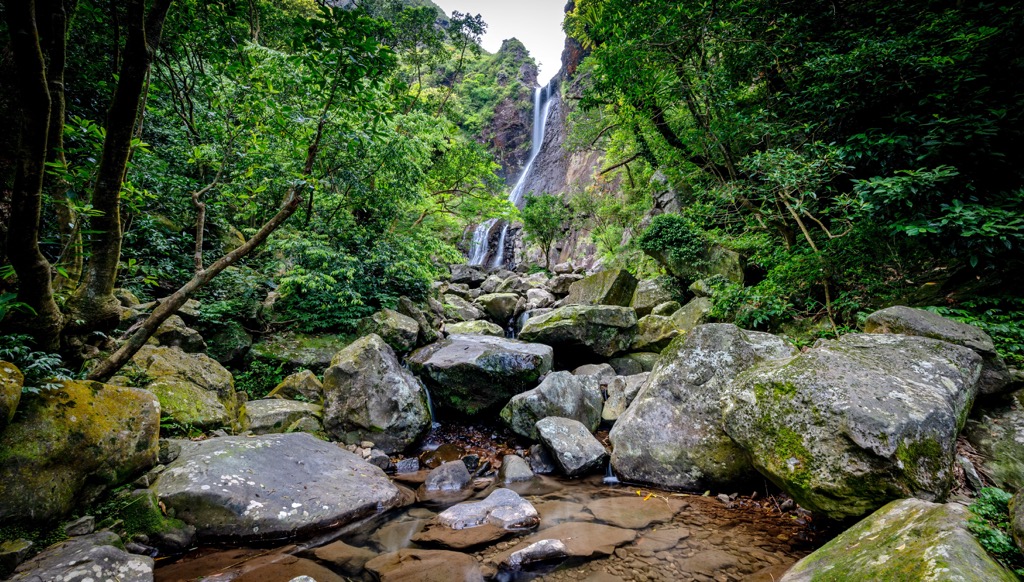
Take a moment to revel in the picturesque setting of a two-tiered cascade falling into an aquamarine pool. The luscious greenery shades the scenery, adding a refreshing element to the opaque area.
Progress towards Zhuzishan, where the higher you climb, the better the prospects from above. Although you cannot summit Zhuzishan, a military base lies on top of the peak. Gaze onto Jinshan’s wild jungle and coastal areas from Zhuzhishan’s near-summit.
With Zhuzishan Lujiaokeng River Outer Core Speical Landscape Area lying in both New Taipei City and Taipei City, you would find it convenient staying in either two places.
Covering extensive land, with Taipei City swallowed in the middle, staying in New Taipei City involves long train rides to get you to the opposing corner. From coastal Tamsui to remote Wulai and Pingxi's minefield, staying in a particular area of New Taipei City is best. Due to the proximity of the Zhuzhishan Lujiaokeng River, staying in New Taipei City's northern zone is the best choice.
Closeby to Xiao Guanyinshan's peaks of Zhuzhishan Lujiaokeng River's area is the ornate, five-tiered tower of Wuji Tianyuan Temple. The show-stopping red-tiled pagoda displays exquisite design and is a beautiful example of fine Chinese architecture. What makes it more stunning is the backdrop of rolling hills. In springtime, cherry blossoms burst into color, creating a romantic contrast against the temple's bold hues.
Another one of New Taipei City's nearby attractions is the North Coast Coastal Reserve (北海岸沿海保護區). Situated on the shoreline of Tamsui, Sanzhi, and Shimen districts, there are many natural wonders to find. Laomei Green Reef is fascinating, especially during the algae season from March to May. A rippling rocky reef, a relic of dried volcanic lava, extends towards the sea. Submerged in a thriving algae carpet, Laomei Green Reef's emerald, grassy trenches look like something out of a sci-fi film.
Heading eastward along New Taipei City's northern coast is the geological wonder of Yehliu. Boasting an array of intriguing and oddly-shaped rock formations, you'll have fun viewing Yehliu's weathered outcrops. The most well-known eroded stone is 'The Queens Head'. Featuring a regal, stoic face portrait with a pointy crown and a slender neck, it's starkly apparent how it was named. The craggy park features 180 stone sculptures and cerulean Pacific Ocean views.
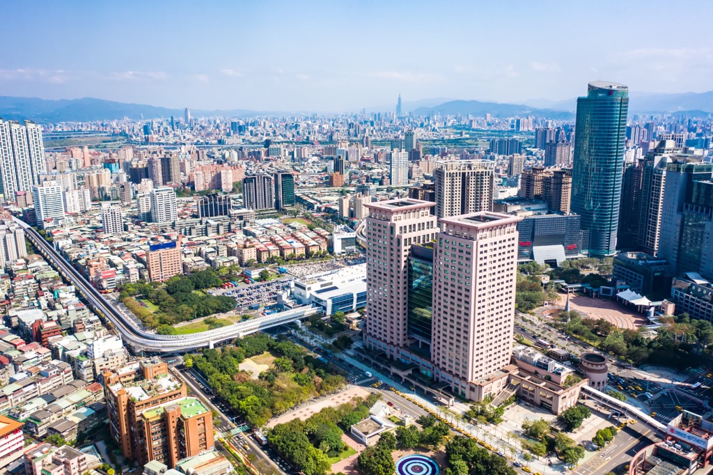
Taiwan’s capital and most-visited city, staying in Taipei City is an obvious choice. Taipei will surprise any unsuspecting traveler with historical remnants, cultural sites, and beautiful nature. Easy to navigate and packed with a punch of fun, you won’t be hard-pressed to find accommodation to suit your traveling needs.
Treat your sore, aching muscles to a hot soak at Beitou Hot Spring. Beautifully picturesque, the thermal spring pool has a constant veil of vapor suspended above the water surface. Known for its sulfurous content, the spring is known to heal skin ailments and promote digestion. Established by the Japanese during the occupation, Beitou’s forested space features well-preserved wooden Japanese villas.
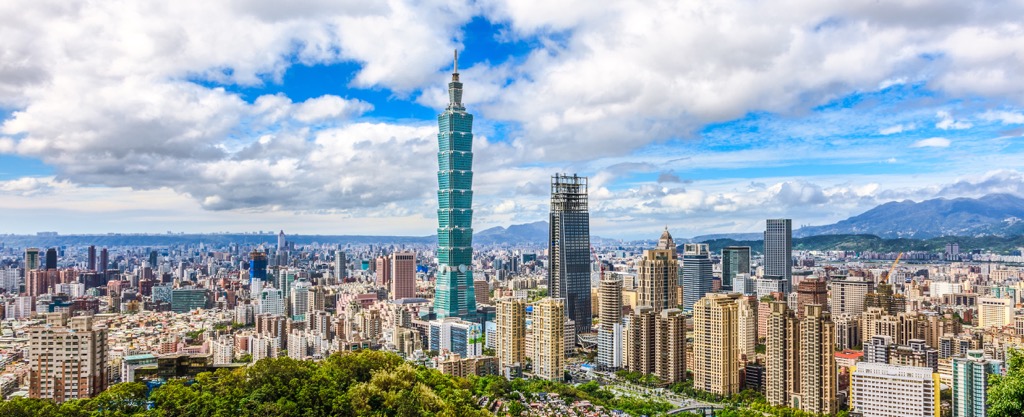
One cannot argue that Taipei isn’t a striking city. For the best view of Taiwan’s capital, hike up the leafy Elephant Mountain (象山). You can admire the city from its eastern peak, looking at Taipei 101’s design brilliance. Further ahead is the prolific Da’an Park, Taipei’s natural respite from the bustling city center.
Finally, for more Taipei views from a different angle, take a ride on the Maokong Gondola. Situated in southeastern Taipei, the remote location minimizes the outlook. However, the whole city is condensed in one view, despite a more focused prospect from Elephant Mountain. Riding Maokong Gondola, you will also see the thriving tea plantations below, where oolong tea grows.
From Taipei City, take the red MRT line to Jiantian MRT Station. Transfer to the R5 bus outside the station which transports you to Yangmingshan National Park.
Then board the Yangmingshan 108 bus that loops around the park. Exit at the Anbu stop to enter Zhuzishan Lujiaokeng River Outer Core Special Landscape Area. Xiao Guanyinshan’s peaks are a short walk away.
Explore Zhuzishan Lujiaokeng River Outer Core Special Landscape Area with the PeakVisor 3D Map and identify its summits.


