Get PeakVisor App
Sign In
Search by GPS coordinates
- Latitude
- ° ' ''
- Longitude
- ° ' ''
- Units of Length

Yes
Cancel
❤ Wishlist ×
Choose
Delete
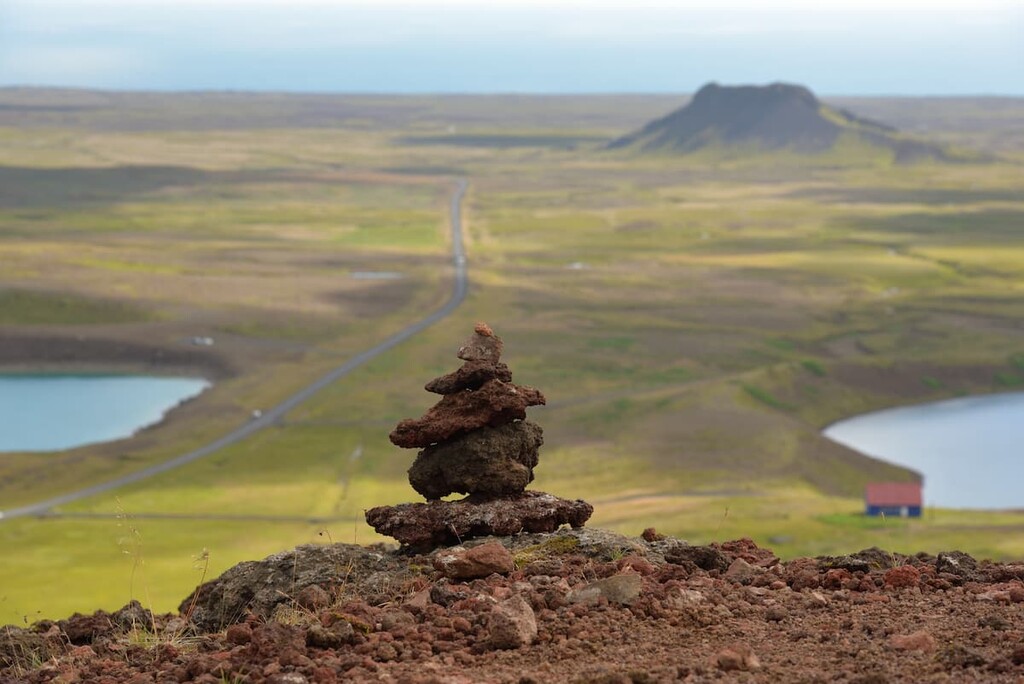
Reykjanesfólkvangur is a country park covering approximately 300 sq km (116 sq mi) on the Reykjanes Peninsula in southwestern Iceland. The largest reserve of its kind in Iceland, Reykjanesfólkvangur's proximity to Reykjavík makes it a popular destination for tourists wanting a taste of Iceland's dramatic landscape. There are 51 named mountains in Reykjanesfólkvangur. Hvirfill (621 m / 2,037 ft) is the highest point. The most prominent mountain is Grænadyngja (402 m / 1,319 ft).
Reykjanesfólkvangur is a fólkvangur or "folk park" nature reserve, a term designating a protected area near a settlement. It's located less than 40 km (24 mi) south of Reykjavík, Iceland's largest and capital city, home to roughly 60% of the country's population. It borders two other nature parks: Bláfjallafólkvangur to the northeast and Heiðmörk to the north.
Located on the southern side of the Reykjanes Peninsula, Reykjanesfólkvangur is partially flat but punctuated with low tuff mountains. Two low ridges within the Krýsuvík Volcanic System that run from southwest to northeast define the eastern area of the park: Núpshlíðarháls (301 m / 988 ft) and Sveifluháls (401 m / 1,316 ft).
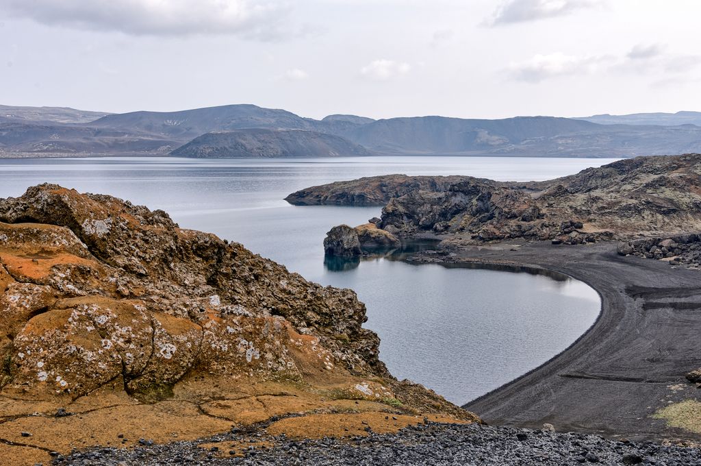
These ridges are between 300 m (984 ft) and 400 m (1,312 ft) in elevation on the western side of Kleifarvatn. Kleifarvatn is the largest lake on the Reykjanes Peninsula, with a surface area of 7.3 sq km (2.8 sq mi). It has a maximum depth of 89.5 m (294 ft) and is unique as no water visibly enters or leaves the lake.
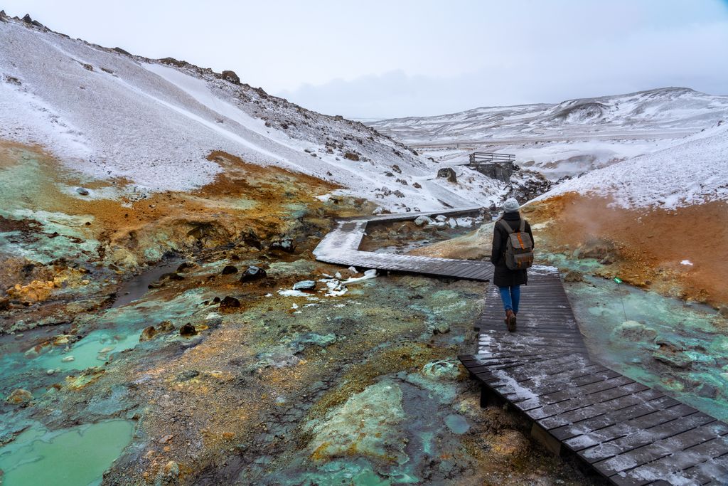
Near these mountain ridges is the Seltún Geothermal Area, the top tourist attraction in Reykjanesfólkvangur. The Seltún Geothermal Area is known for its vibrant yellow-orange coloration and hot springs, with gurgling mud pools and steaming volcanic vents.
On Reykjanesfólkvangur's western edge is the Brennisteinsfjöll ridge. Translated to mean the Sulfur Mountains in English, Brennisteinsfjöll is a volcanic mountain ridge between 400 m (1,312 ft) and 500 m (1,640 ft) in elevation.
Brennisteinsfjöll is a geothermally active area, with temperatures reaching over 200°C approximately 1 km (0.6 mi) below the surface. Brennisteinsfjöll includes the highest summits in Reykjanesfólkvangur, including Hvirfill.
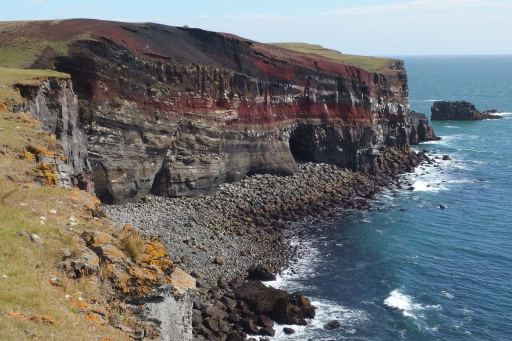
On Reykjanesfólkvangur's southern boundary near Hælsvík is the Krýsuvíkurberg, a series of vast sea cliffs spanning 15 km (9 mi) with an average height of 40 m (131 ft). It's one of the best birding spots in southwestern Iceland, with over 57,000 seabird couples nesting on the cliffs annually.
Some of the main settlements near Reykjanesfólkvangur include Reykjavík, Hafnarfjörður, and Þorlákshöfn.
The seaside town of Grindavík, located 5 km (3 mi) from the Blue Lagoon on Reykjanesfólkvangur's western edge, was evacuated in November 2023 following seismic and volcanic activity. It's unclear if or when residents will be able to return.
The Mid-Atlantic Ridge separates the Mid-Atlantic and Eurasian tectonic plates and runs directly through Reykjanesfólkvangur and the Reykjanes Peninsula. Rifting between these two plates and volcanic activity from the Icelandic hotspot created the Reykjanes Peninsula between 6 and 7 million years ago.
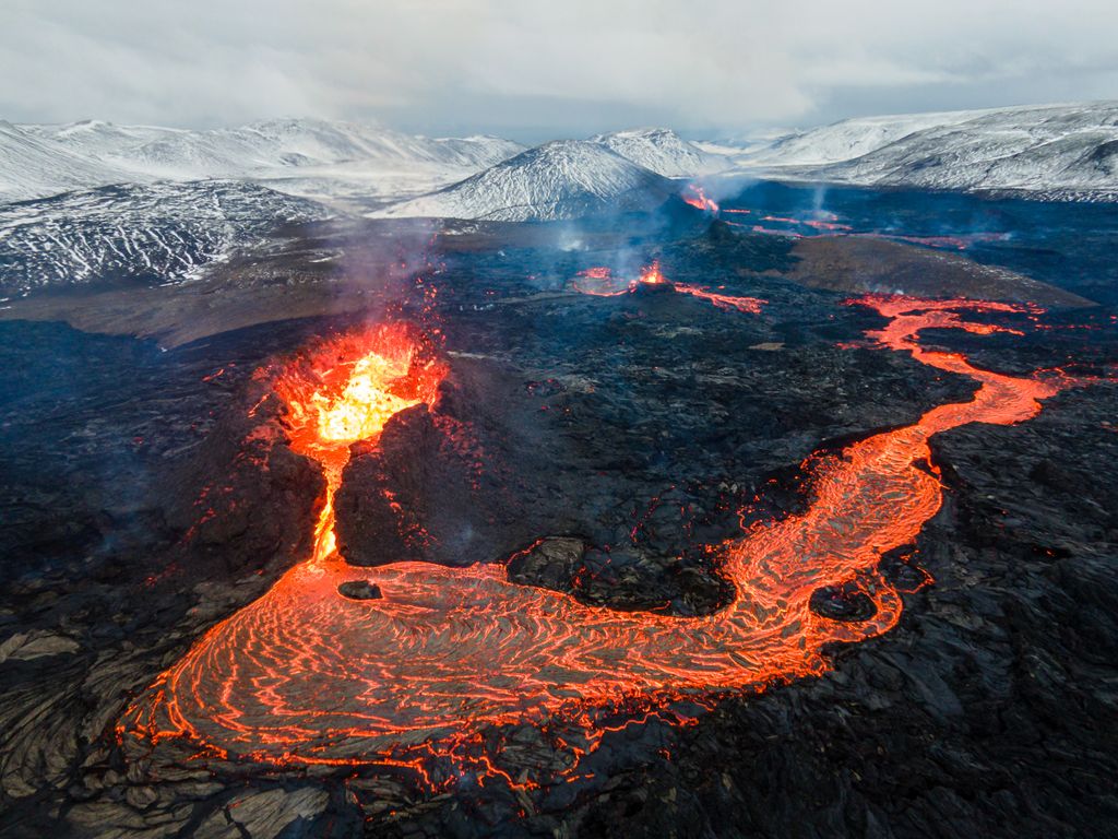
Volcanic activity following the Pleistocene glaciation between 15,000 and 11,000 years ago shaped Reykjanesfólkvangur's modern landscape. The volcanic systems within Reykjanesfólkvangur, Krýsuvík, and Brennisteinsfjöll are two of six that form the Reykjanes Peninsula volcanic zone.
The Krýsuvík Volcanic System is approximately 55 km (34 mi) long and 13 km (8.1 mi) wide. It does not have a central volcano and is instead composed of a 50 km (31 mi) long volcanic fissure.
Eruptions from the Krýsuvík Volcanic System are exclusively basalt, with the last eruption in the 14th century. Fagradalsfjall, just to the west of Reykjanesfólkvangur, last erupted in 2023. It was once believed to be part of the Krýsuvík but is now considered a separate volcanic system.
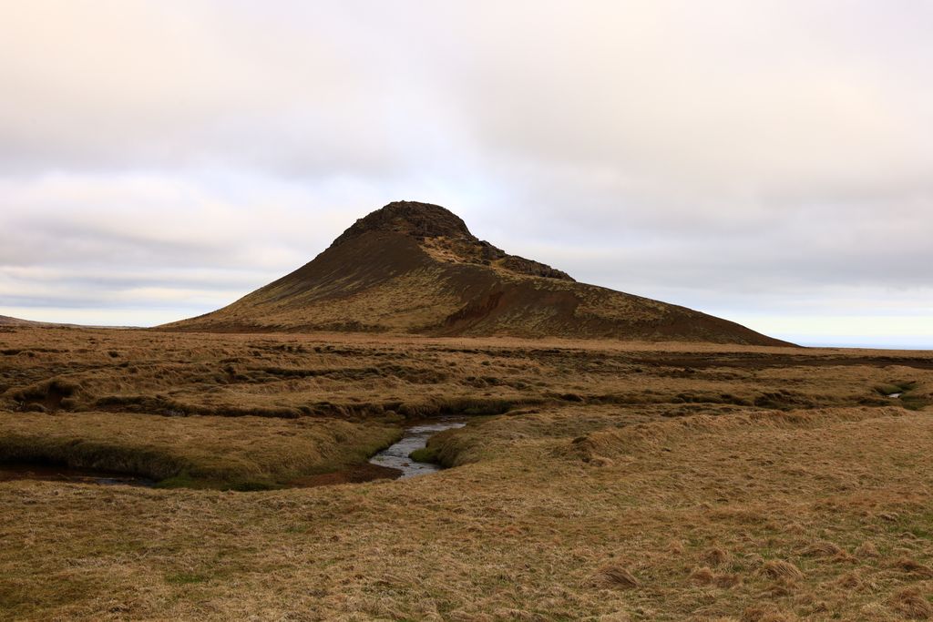
Brennisteinsfjöll, on Reykjanesfólkvangur's eastern border, is approximately 45 km (28 mi) long and 10 km (6.2 mi) wide. Historically, it has been one of the Reykjanes Peninsula's most active volcanic systems, with 30 to 40 eruptions in the last 12,000 years.
Brennisteinsfjöll comprises the Bláfjöll massif at its northern end, as well as two small shield volcanoes: Heiðin há and Leitin. To the south is Þríhnúkagígur (540 m / 1,772 ft), which features a drained magma chamber—the only one of its kind globally that's open to the general public.
Arctic foxes are the only native land mammals in the Reykjanesfólkvangur. Settlers introduced field mice to the Reykjanes Peninsula by the 10th century, while minks escaped from fur farms and became a part of the ecosystem by the 1930s.
The waters off the coast of Reykjanesfólkvangur are home to a more diverse cast of mammals, including harbor porpoises, common seals, and whales.
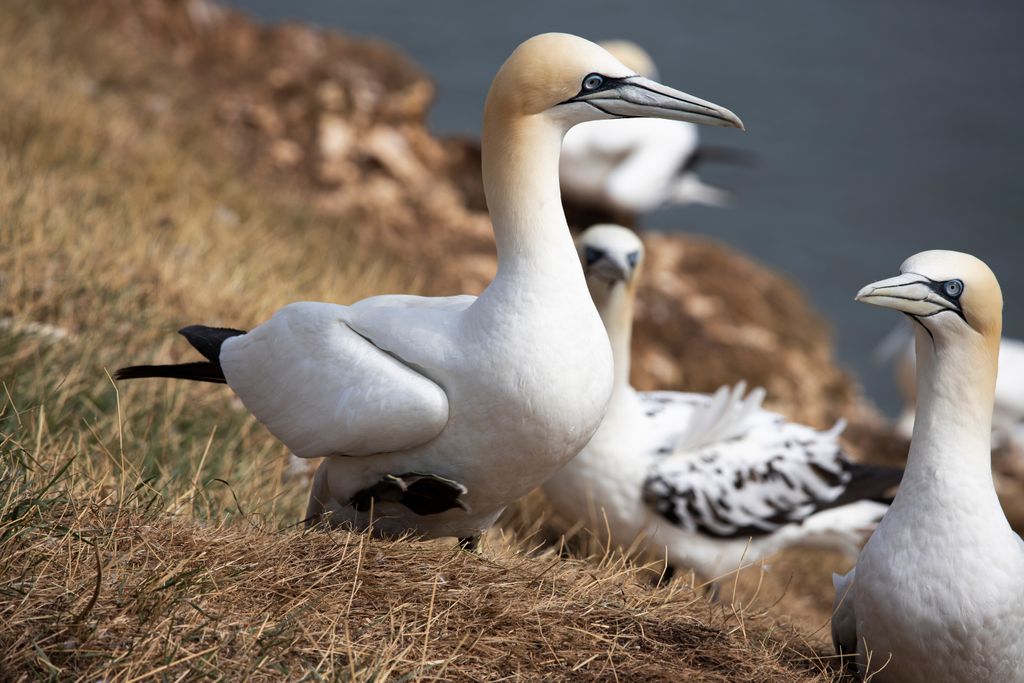
Seabirds are the most common animals spotted within Reykjanesfólkvangur. Over 46,000 gannet pairs nest on the Krýsuvíkurberg every year. Other notable bird species include golden plovers, gyrfalcons, puffins, herring gulls, Arctic terns, ptarmigans, and snow buntings.
Kleifarvatn boasts a thriving population of brown trout and Arctic char. It's a popular spot during the fishing season from May to September.
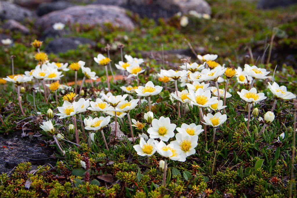
Plantlife other than grass is sparse within Reykjanesfólkvangur, with most of the park consisting of lava fields and grasslands. One notable plant is the small adder's-tongue fern, which is confined to areas of high geothermal activity and endangered in Iceland. Other common plants within Reykjanesfólkvangur include angelicas, dandelions, Arctic thyme, and mountain avens.
Iceland's first Norse settler, Ingólfr Arnarson, arrived on the island in the late 9th century via the Ölfusá River, located just east of Reykjanesfólkvangur near Þorlákshöfn. According to the Book of Settlements (Landnámabók), Arnarson founded a settlement on the northeast of the Reykjanes Peninsula in 874, which would become Reykjavík.
In the late 19th century, Brennisteinsfjöll was the site of sulfur mines operated by miners from the United Kingdom. These mines were largely unsuccessful, and mining ceased in the 1880s.
Geologist Dr. Sigurður Þórarinsson was the first person to suggest a fólkvang (“folk park”) on the Reykjanes Peninsula after discovering the unique Grænavatn crater in 1948.
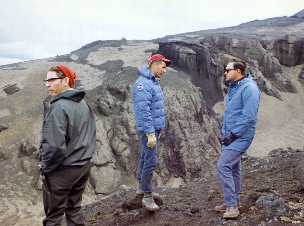
However, it wasn't until October 1969, when Dr. Þórarinsson became chairman of a cooperation committee established by the Nature Conservation Council, that plans for Reykjanesfólkvangur were approved. It was officially recognized as a nature park on December 1, 1975.
In April 2024, Reykjavík communicated that it wished to withdraw from operating Reykjanesfólkvangur. Several other municipalities have also expressed an interest in withdrawing from cooperation with the fólkvang.
While Reykjanesfólkvangur will continue to operate as usual throughout 2024, plans for protecting the area in the future are still under development.
When hiking in Reykjanesfólkvangur ensure you stay on the marked trails where possible. Reykjanesfólkvangur’s environment is fragile, and those stepping off the trails risk injury. The weather in Iceland is unpredictable, so check local weather forecasts in advance. Bring appropriate hiking gear, map out your route, and inform others of your itinerary.
Once a subglacial volcano, Helgafell (338 m / 1,109 ft) is a low sandstone and tuff mountain visible from Hafnarfjörður. It was a "holy mountain" in the Viking era, used for worshiping gods — the exact purpose of which is unknown. A local architect discovered the Vikings used ancient cairns on and around Helgafell to tell the sun's position, producing a rudimentary calendar.
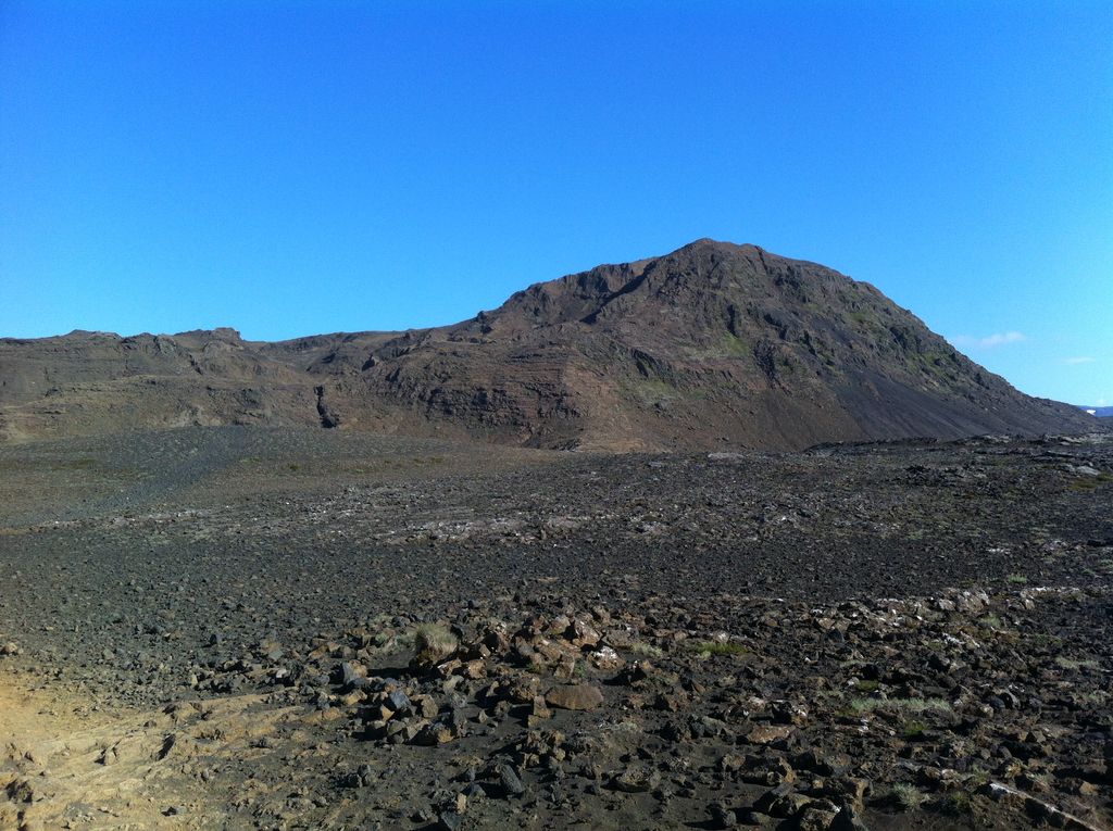
Despite its modest height, Helgafell provides panoramas of Reykjavík, Flaxafói Bay, and the entire Reykjanes Peninsula. Its incredible views and proximity to Hafnarfjörður and Reykjavík have helped it become one of the most popular Reykjanesfólkvangur hikes.
Helgafell is an easy climb that’s suitable for families. The trail starts from the parking area near the Kaldársel hut. The route passes otherworldly lava formations such as rippled masses of basalt lava flows called pahoehoe.
To avoid steep rocky areas, descend the way you came. The hike up Helgafell is a 5 km (3 mi) round-trip.
Búrfell (160 m / 525 ft) is situated on the northern edge of Reykjanesfólkvangur, less than 7 km (4.3 mi) southeast of Hafnarfjörður. Along with its connected lava channel, Búrfellsgjá, Búrfell is one of the most famous natural landmarks in Reykjanesfólkvangur.
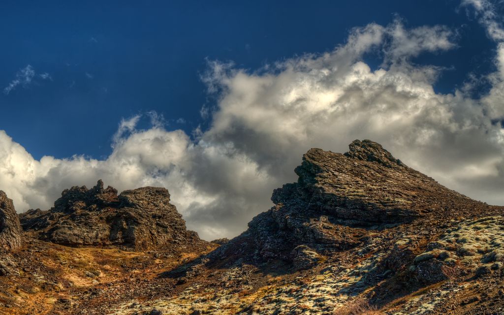
Búrfell is a slag cone volcano that erupted approximately 7,200 years ago, helping create the surrounding 18 sq km (7 sq mi) Búrfellshraun lava field. It has a near-symmetrical circular crater that’s up to 140 m (459 ft) wide. The Búrfellsgjá lava channel stretches for 3.5 km (2.1 mi) to the northwest of Búrfell and is one of the best-preserved lava channels in the region.
The hike up Búrfell is straightforward for hikers of all abilities. The trail starts from the parking area along Road 408 to the north of Búrfell and leads across the Búrfellsgjá.
From atop Búrfell, you'll have sweeping views of your surroundings, with Helgafell and Esja (914 m / 2,999 ft) visible. You should also consider walking to Búrfell's rim for impressive vistas across the crater. The hike to Búrfell is approximately 5.5 km (3.4) mi in length.
Visitors flock to the Seltún Hot Springs (Seltúnshverir) in Reykjanesfólkvangur to see its high geothermal activity and remarkable yellow-orange coloration.
A hike through Seltún can be coupled with Hverafjall (326 m / 1,070 ft), a nearby summit affording picturesque views of Seltún, Grænavatn, and Kleifarvatn.
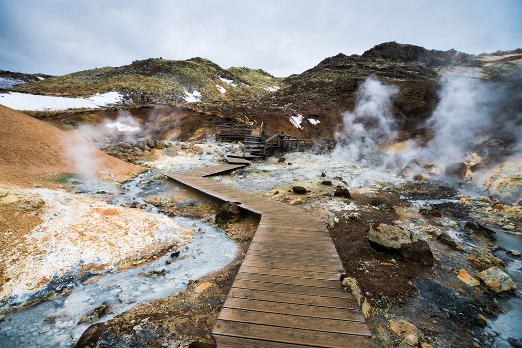
You can pick up the trail to Hverafjall via Seltún from Hafnarfjörður (155 m / 509 ft). This short walk is suitable for hikers of all abilities. Visitors tend to overlook Hverafjall when visiting Seltún, making it an excellent hiking destination if you want to avoid the crowds. The hike to Hverafjall via Seltún is a 2.2 km (1.3 mi) round-trip.
Hellutindar (364 m / 1,194 ft) is a summit along the Sveifluháls ridge on the western edge of Kleifarvatn. Although not particularly popular, it offers some of the best views of Kleifarvatn.
One of the best walks to Hellutindar begins at the parking area in Indjánahöfði on the shores of Kleifarvatn. It follows the Krýsuvíkurvegur trail north before looping around onto the mountain ridge to reach Hellutindar.
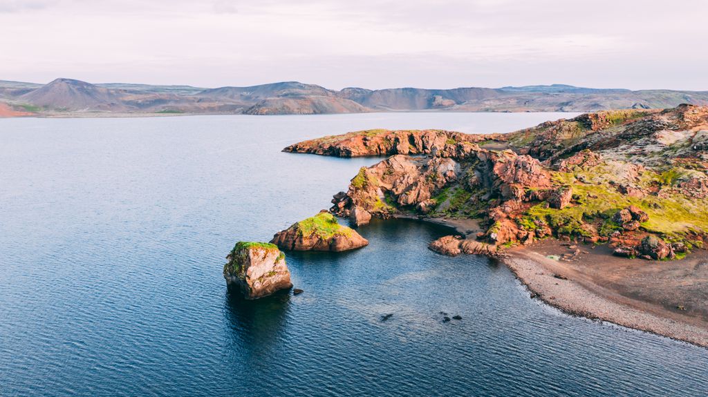
The trail to Hellutindar is moderately difficult and rocky in places. The hike to Hellutindar is approximately an 8.4 km (5.2 mi) round-trip.
You'll find no ski resorts directly in Reykjanesfólkvangur. However, the nearest ski resort is close by in the neighboring Bláfjallafólkvangur. The Bláfjöll Ski Resort has 14 ski lifts and is usually open late December to the middle of April, depending on snow levels.
The Reykjanes Peninsula is the most densely populated region of Iceland, with over 60% of the country’s population living within Greater Reykjavík and the surrounding area.
Keflavík International Airport, Iceland’s main international airport, is located 50 km (31 mi) southwest of Reykjavík and 45 km (28 mi) west of Reykjanesfólkvangur.
Reykjanesfólkvangur is only reachable by car — no public bus services operate in Reykjanesfólkvangur.
Resting on the southern shores of Faxaflói Bay at the base of the Reykjanes Peninsula is Iceland's capital, Reykjavík. It has a metropolitan population of roughly 248,000 people.
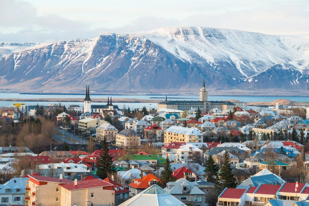
The world's northernmost capital, Reykjavík is Iceland's center for commerce and tourism. It's home to most of Iceland's famous human-made landmarks, including the Hallgrimskirkja, the National Museum of Iceland, and the Perlan Natural History Museum.
Reykjavík is located approximately 30 km (18 mi) north of Reykjanesfólkvangur.
Hafnarfjörður, also called Hafnarfjarðarkaupstaður, is located approximately 10 km (6 mi) southwest of Reykjavík. It has a population of roughly 30,000 people and is Iceland's third-largest settlement.
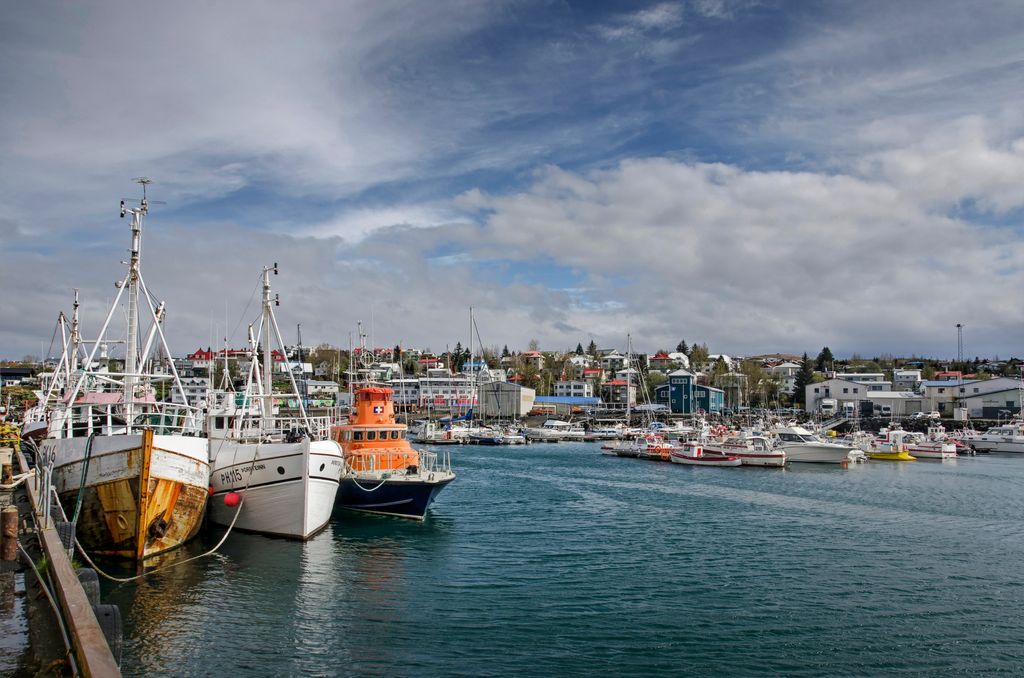
Hafnarfjörður is famous for its art and culture. Each year in mid-June, it hosts the Hafnarfjörður Viking Festival, which includes a Viking market and battle reenactments. It's the ideal base from which to explore Reykjanesfólkvangur if you want to avoid the touristy areas of Reykjavík.
Hafnarfjörður is located less than 15 km (9.3 mi) north of Reykjanesfólkvangur. It's a 20-minute bus ride from Reykjavík on the Route 1 bus.
Þorlákshöfn is a port town located near the mouth of the River Ölfusá on Iceland's southern coastline. It has a population of approximately 1,460 people.
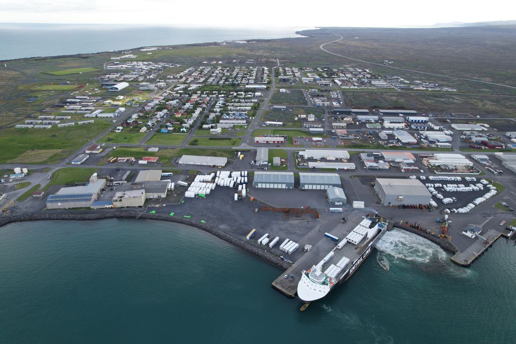
One of the most famous landmarks near Þorlákshöfn is Strandarkirkja, a 12th-century wooden Lutheran church. Its southerly location means many of Reykjanesfólkvangur's southerly hiking areas are easily accessible. The Krísuvíkurberg Cliffs and Kleifarvatn are within 45 km (28 mi) of Þorlákshöfn.
Þorlákshöfn is one of only two departure points for ferries to the Vestmannaeyjar archipelago.
Explore Reykjanesfólkvangur with the PeakVisor 3D Map and identify its summits.

