Get PeakVisor App
Sign In
Search by GPS coordinates
- Latitude
- ° ' ''
- Longitude
- ° ' ''
- Units of Length

Yes
Cancel
❤ Wishlist ×
Choose
Delete
Home to the highest and most prominent peak in the Philippines, Mt. Apo Natural Park is a stunning outdoor recreation area with spectacular biodiversity and plenty of hiking trails for all to enjoy. The park contains 22 named mountains, the highest and most prominent of which is Mount Apo (Bundok Apo) at 2,954m/9,692ft.
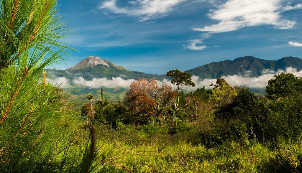
Known for its rugged mountainscapes and dramatic scenery, Mt. Apo Natural Park is a federally protected area in the southern Philippines. The park is located on the island of Mindanao, which is the second largest island in the Philippines after the large island of Luzon.
Mt. Apo Natural Park is located just outside of Davao City in the southern part of the island of Mindanao in the Davao Region (Region XI). It is situated within Davao del Sur and Cotabato provinces as well as within the municipalities of Davao City, Dinos, and Kidapawan.
The park currently contains 54,974.87 ha (135,845.9 acres) of land as well as a buffer zone of 9078.13 ha (22,432.55 acres) of land as added protection for the region.
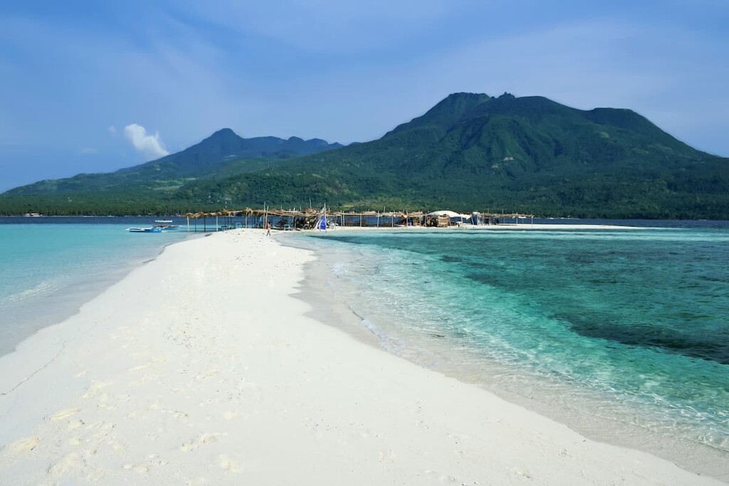
As much of the land on the island of Mindanao is used for agriculture or other private and commercial purposes, Mt. Apo Natural Park is fairly isolated from other areas of protected land. Nevertheless, it is situated within driving distance of Mount Matutum Protected Landscape and Mount Kalatungan Range Natural Park.
Although Mount Apo is the highest peak in the entire Philippines, relatively little is known about its geologic history.
Scientists do know that Mount Apo is a massive and active andesitic-to-dacitic volcano. However, while Mount Apo is believed to be an active volcano, researchers do not have a good idea of when it last erupted.
Nevertheless, the region around Mount Apo is geothermally active. There are 2 geothermal energy plants near the park as well well as a number of natural hot springs.
Mount Apo itself has 3 peaks on top of its mostly flat summit plateau. This includes its Main Peak, Kapatagan, and Kidapawan.
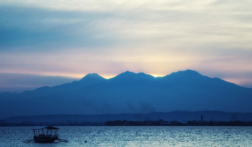
Other major peaks in the park include Mount Talomo, Mount Zion, Mount Tampurong, and Mount Tagaytay.
Mount Apo is naturally home to a wide diversity of ecosystems. In fact, it is considered to be at the heart of endemism on the island of Mindanao thanks to its exceptionally high level of biological diversity.
Within the park, there are a three primary forest zones. At the lowest elevations, tropical rainforests dominate while mid-mountain and high mountain forests are found at the higher elevations.
However, illegal logging, mostly for household use among local communities has contributed to continued deforestation in the park. Furthermore, it’s estimated that about 50% of the park’s total area has been converted into agricultural land in recent years.
Mount Apo is home to a great collection of wildlife. In particular, it is home to well over 200 bird species, over half of which are endemic to the region and are found nowhere else on Earth.
Perhaps the most famous bird in the park is the Philippine eagle (Pithecophaga jefferyi). The Philippine eagle is one of the largest eagles in the world with a total wingspan of about 184 to 200 cm (6 ft to 7 ft 3 in). The eagle is currently critically endangered due to habitat loss and killing a Phillipine eagle is highly illegal under Philippine law.
The land that is now part of Mount Apo Natural Park has long been home to humans. It is part of the traditional territory of the Lumad, whose ancestral lands include much of the island of Mindanao.
The region around what is now Mount Apo Natural Park was colonized by the Spanish as early as the sixteenth century, though there wasn’t a major Spanish influence in the region until well into the nineteenth century.

After the Phillippine Revolution in the late nineteenth century, the Spanish left the region. However, this period of self-rule in Davao was short-lived as the United States claimed control of the region in the aftermath of the Spanish-American War, which then led to the Philippine-American War.
During this time, much of the region around Mount Apo was converted into coconut and banana plantations, leading to an increase in deforestation. However, these new plantations did help establish the importance of the Port of Davao.
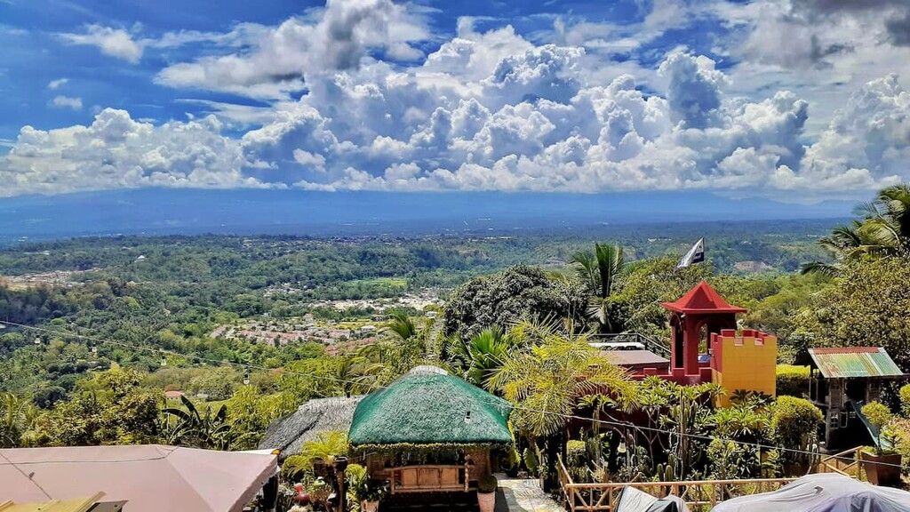
In 1936, after the establishment of the Commonwealth of the Philippines, President Manuel L. Quezon established Mount Apo National Park through a proclamation. Over sixty years later, the park was then further protected as a natural park in 2004.
Mount Apo Natural Park is one of Mindanao’s premier hiking areas. Here are some of the best hikes to check out in the park:
As the highest peak in all of the Philippines, Mount Apo is a must-hike for all the peak baggers among us. The peak is accessible via a number of different trails, though most hikers will take about 2 to 4 days to complete the entire trek.
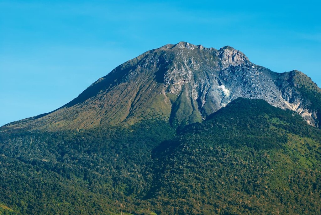
For the most part, Mount Apo is not a particularly technical climb, though hiring a local guide that can help you get permits and arrange transportation is a good idea. Furthermore, although the peak is technically climbable all year long, it is best hiked between the months of March and May when the weather is generally much more stable.
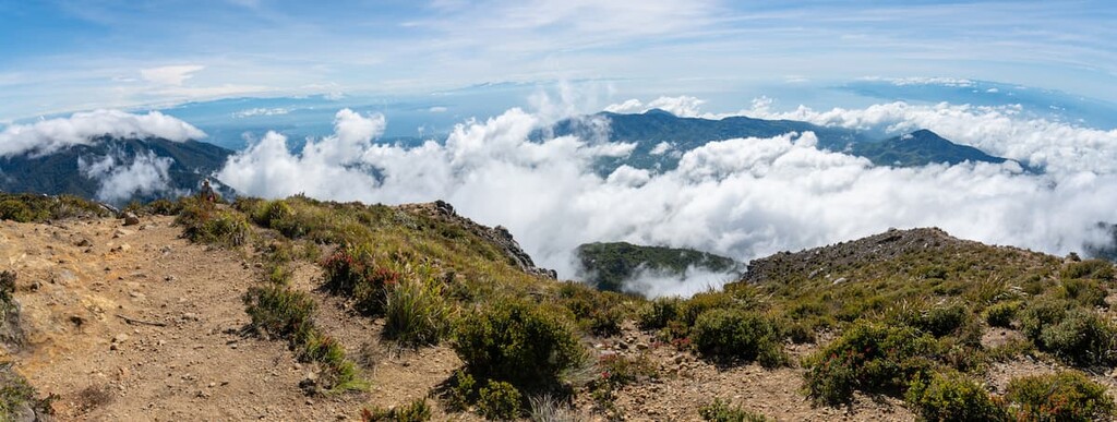
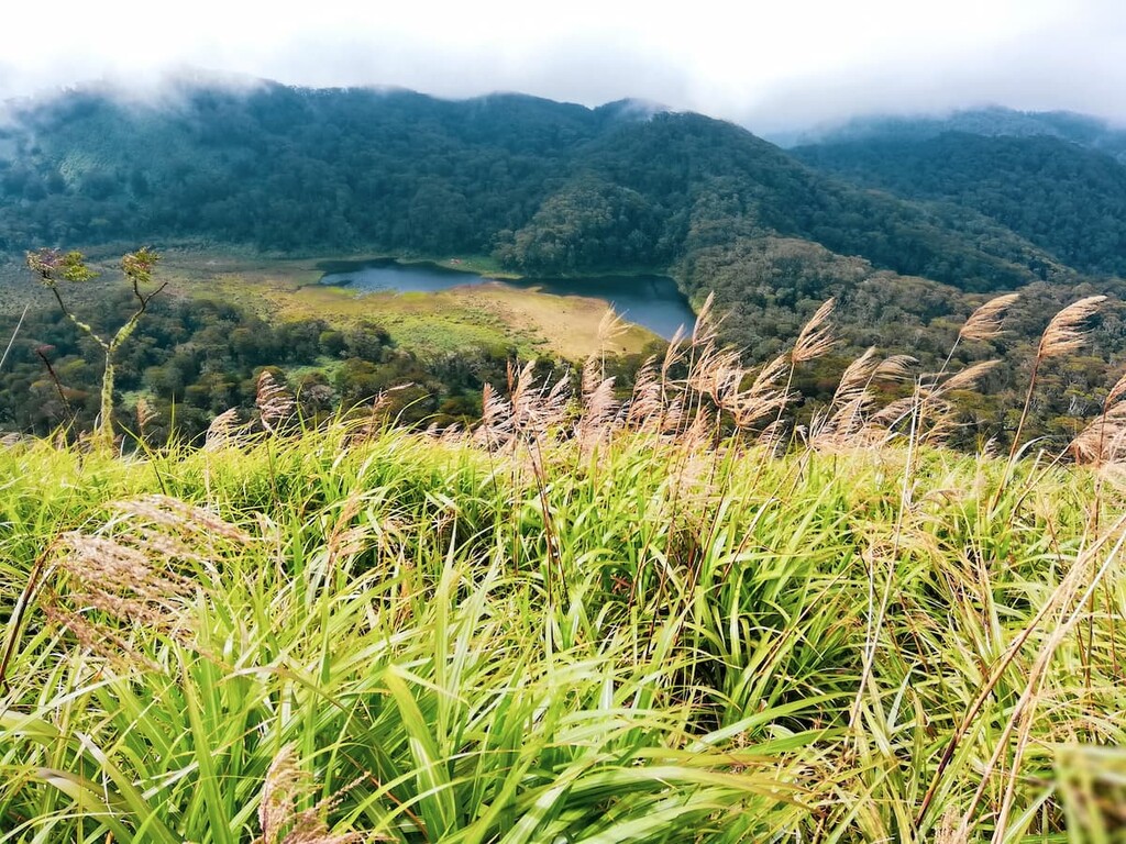
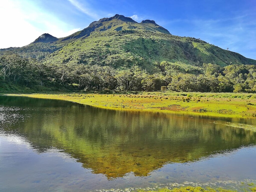
If you’re not quite up for a summit hike, you can always check out Lake Venado, instead. Lake Venado is located along the main hiking trail to the summit of Mount Apo, so it’s a popular stopping point for mountaineers that are looking to reach the summit.
However, the crystal clear waters of the lake are well worth a visit in their own right. However, as the lake tends to lose quite a lot of its size during the dry season, it’s best visited during the rainy season between May and November.
Looking for a place to stay during your trip to Mount Apo Natural Park? Here are some of the best cities to check out:
The city of Davao (Lungsod ng Davao) is the principal city of the island of Mindanao. With a population of about 1.8 million people, it is the third-most populous city in the country after Quezon City and Manila. It is also the largest city by total land area in the Philippines.
Davao is a center for culture and commerce in the region. It is the hub for the island’s agricultural industry as its major port plays a key role in shipping out the region’s crops. Furthermore, Davao City has its own excellent local cuisine that’s well worth checking out if you’re in the region.
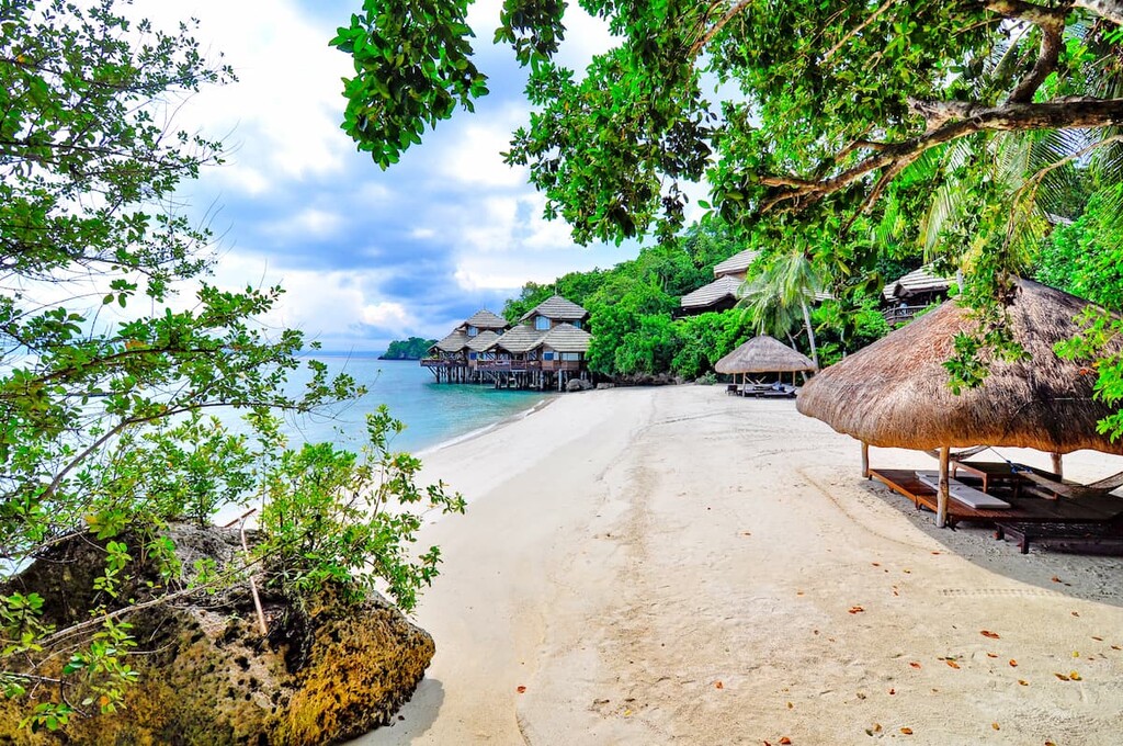
Situated just to the south of Mount Apo Natural Park, the city of Digos (Lungsod ng Digos) is a community of some 170,000 people. It is located along the coast of the Davao Gulf so it offers excellent views of both the mountain and the ocean.
Digos is perhaps best known for its fantastic agricultural exports, including a particularly sweet variety of mango. The city also hosts a number of major festivals each year, which are a highlight of the local social calendar.
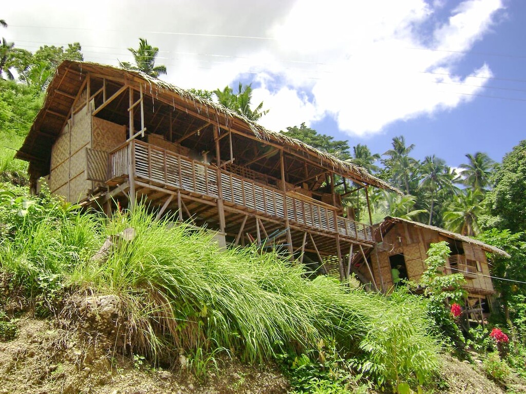
Located on the western flank of Mount Apo, Kidapawan is a city of some 150,000 people. Although Kidapawan is one of the smaller cities in the region, it is a major tourist destination during the summer.
Since the city is located in close proximity to the start of Mount Apo’s main hiking trails, it is a popular starting point for visits to the park. Additionally, the city hosts an annual festival each year to celebrate its superb local fruit harvest.
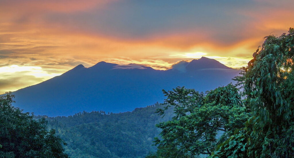
Explore Mt. Apo Natural Park with the PeakVisor 3D Map and identify its summits.


