Get PeakVisor App
Sign In
Search by GPS coordinates
- Latitude
- ° ' ''
- Longitude
- ° ' ''
- Units of Length

Yes
Cancel
❤ Wishlist ×
Choose
Delete
Jefferson County is the fourth most populous county in the state of Colorado. It lies just to the west of Denver and includes some of the city’s western suburbs. But most of the county is mountainous and encompasses a significant number of the foothills of the Rocky Mountains. The county’s Open Space system has 27 parks comprising 56,000 acres of preserved land with 244 miles of trails. A dedicated county sales tax provides funding for the creation and maintenance of these parks, and admission is free to all parks and to all visitors, county residents or not. Most of the parks are in the foothills of the Rockies. They are very popular, especially on weekends.
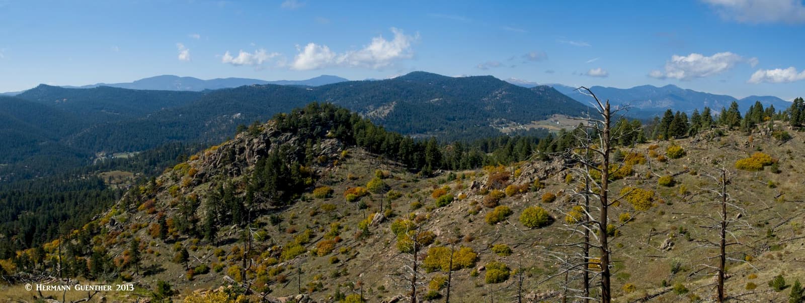
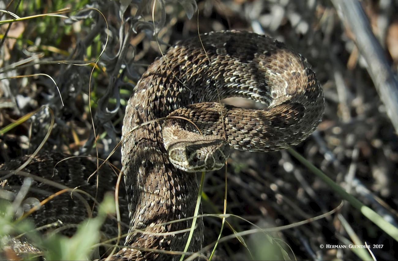
Mount Falcon Park is a perennial favorite for us because we live so close to it. In fact, we can even see one of its trails from our house. There is only one named mountain in the park - Mount Falcon. The park has two trailheads, one of which is right at the base of the foothills, while the other is several miles further west up in the hills. I have hiked in this park more times than I can count – but never in the summer. It is simply too hot for us – my wife and I cannot hike in the heat although many people do and don’t feel affected at all. There is another reason we don’t hike here in the summer – rattlesnakes. Even so, of the four encounters with these critters I have had over the years, two of them have been here, and those encounters occurred either in the spring or the autumn.
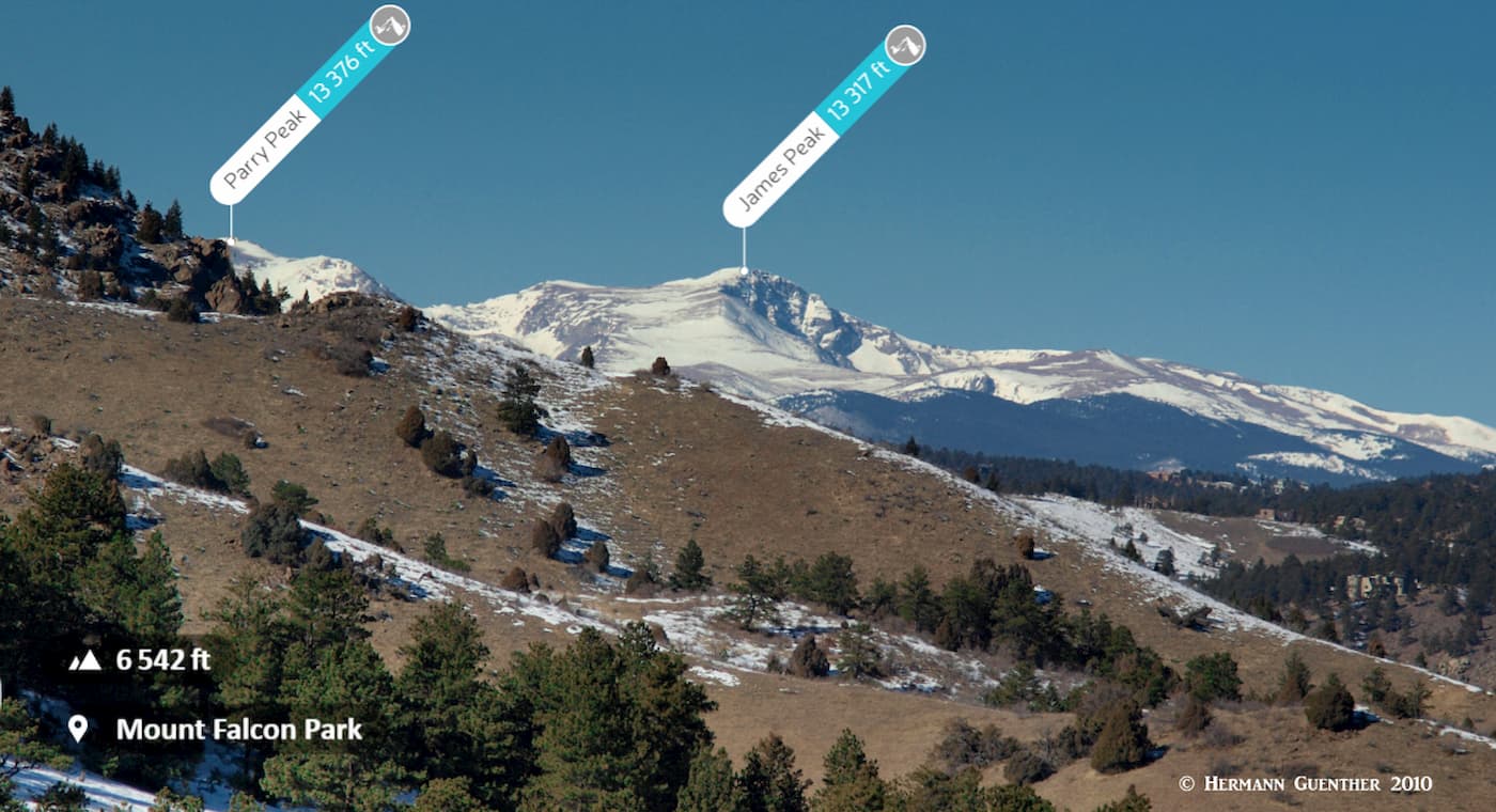
The park has about 13 miles of trails, all of which except for one, the 1.7-mile hiker-only Turkey Trot Trail, are multi-use, meaning that they are shared by hikers, bikers and occasionally equestrians. There is a nice variety of trails offering fine views of the city and western suburbs, while others have great views toward the west and some of the high mountains of the Front Range. For those who would like a good workout, it is possible to hike all the trails in a one-day hike. That encompasses a total of about 15 miles since some segments of trail would have to be repeated. In years past, I have done that on a number of occasions and, believe me, that makes for a long day. Nowadays I refrain from such adventurism.
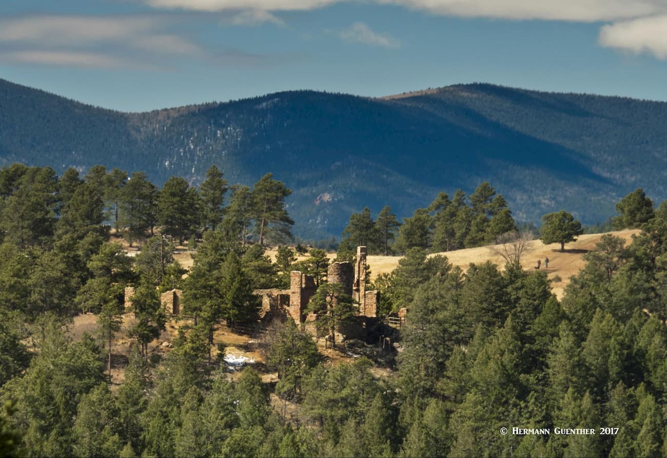
There is some interesting history associated with the park and there are several landmarks that exemplify that history with remnants and information kiosks. Much of the history is dominated by the influence of John Brisben Walker, the same man who was instrumental in developing the world-famous Red Rocks Amphitheater nearby. He made a fortune through numerous ventures, including the purchase of Cosmopolitan Magazine. He also owned the Stanley Steamer Company. He bought more than 4,000 acres of land near the town of Morrison, and in the early 1900’s he built a fancy stone mansion on the property that burned down in 1918. All that remains now are large stone walls and fireplaces. It is now known as the Castle, and the longest trail in the park which connects the two trailheads at either end of the park is called the Castle Trail.

This guy certainly had grandiose plans throughout his life and one of them was to build a summer residence for the presidents of the United States – a “Summer White House” so to speak. He actually started construction of that at one of the finest viewpoints in the park. Parts of the foundation and an engraved marble cornerstone still remain and can be visited via a short side trail called Walker’s Dream Trail. But like with so many entrepreneurs, his dream, like his mansion and his fortune, went up in smoke by the time he died, completely penniless, in 1931. The view from that site is one of the best in the Open Space Parks system.

Another nice feature to check out is the Eagle Eye Shelter which is a renovated picnic shelter that used to be the summer cabin for the Kirchhoff family from 1933 to 1972. This shelter affords some nice views toward Mount Evans. Near the shelter is an old well (there is no other water source in the park). It must have been very deep in order to produce any water in this dry environment. This is a nice shaded place to have your lunch and take a break from hiking. I have done it many times. Just up the hill from the shelter is a lookout tower with views toward Denver, the mountains to the west as well as over most of the park. It is after all on top of Mount Falcon, the only named mountain in the park. There is a fine view toward the north and the slightly higher Mount Morrison, which itself is a steep and challenging climb.
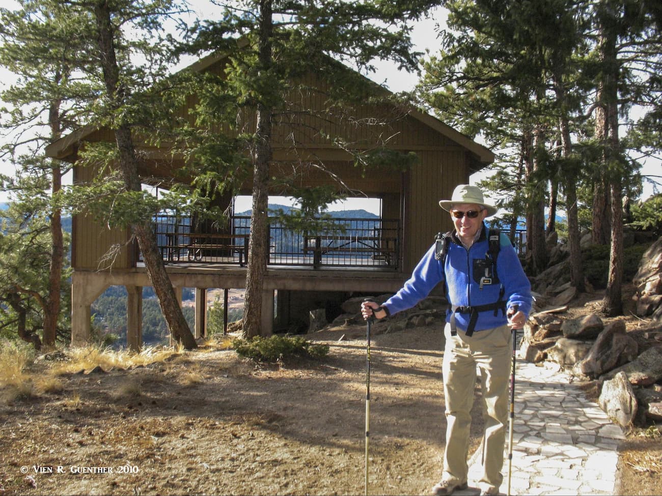
In addition to the Eagle Eye Shelter near the top of the park, there are four small picnic shelters in the park, two at the west trailhead, one at the east trailhead and one at the point where the Castle Trail levels out near its junction with the Walker’s Dream Trail. The west trailhead also has a number of open picnic tables. The two at the ends are close enough to the parking areas to allow anyone, including families with little children, to enjoy features of the park without having to exert much energy. Both trailheads have restroom facilities. But by and large, the park is all about hiking and biking, by far the predominant activities offered here. I particularly love hiking here in the winter when there is new snow. No mountain bikers at these times.

Since there are two trailheads at Mount Falcon Park, the number of options for hiking are multiplied since hikers have a better variety of choices. The two trailheads are nine miles apart by road, although a longer road version is 14 miles by a different route. But it is only four miles by trail. The difference in elevation between the two – 6,025 feet at the eastern trailhead in Morrison, and 7,780 feet at the western trailhead in Parmalee Gulch near the small town of Kittredge – can be a significant factor in the choice of where to start. We almost always start our hikes at the lower trailhead because it is so much closer to our home. But people who prefer to hike with far less elevation gain may choose the western trailhead to start their hikes.
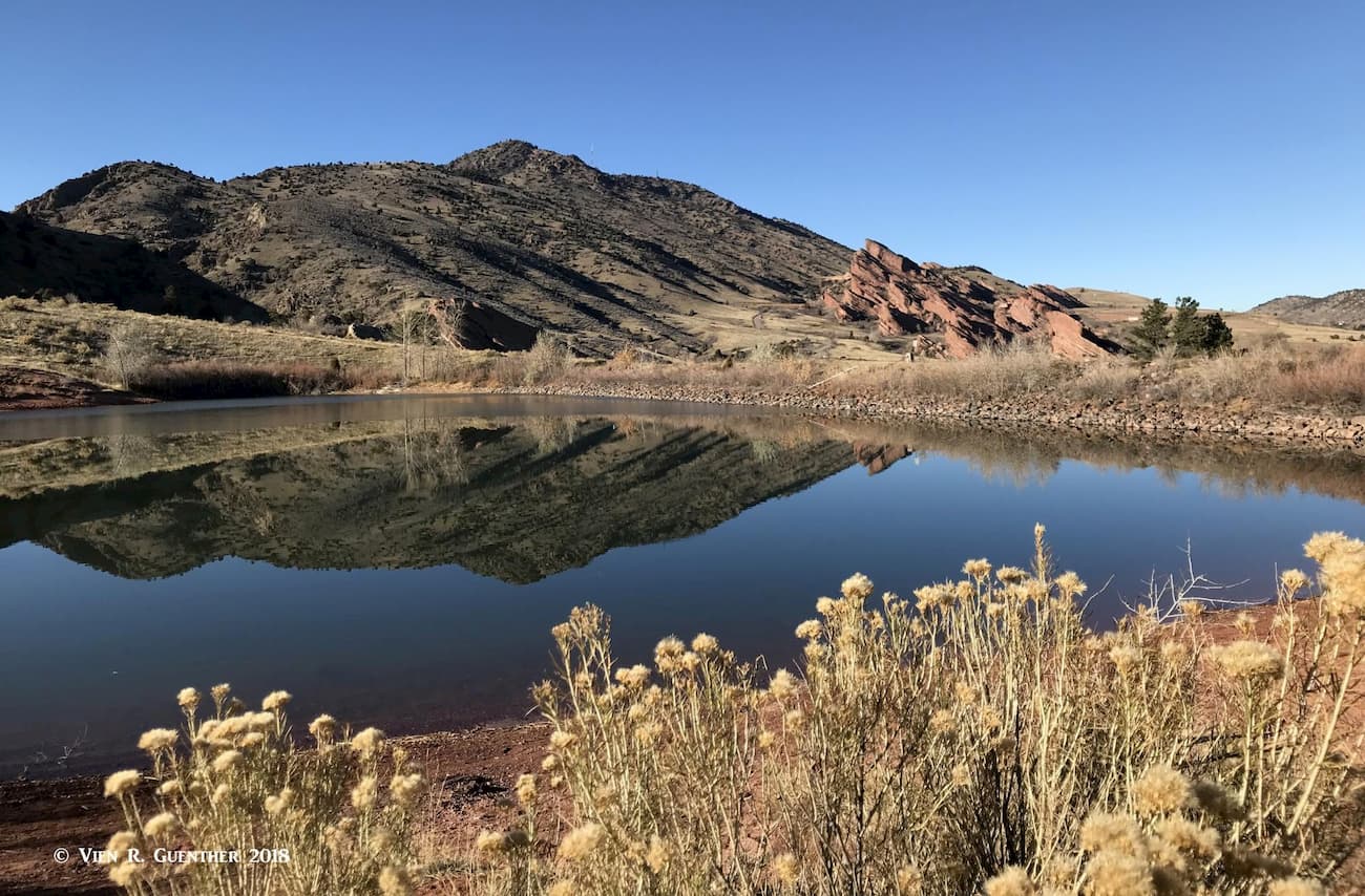
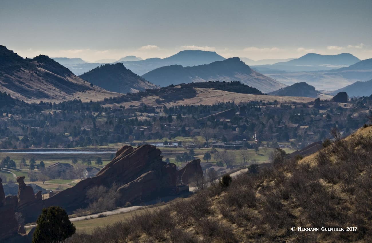
Turkey Trot Trail – Castle Trail – Walkers Dream Trail – This 7-mile round-trip hike is a moderate morning hike that can be done in three to four hours by anyone in decent condition. With a combined elevation gain of about 1,800 feet, this hike gives you great views toward the east from most of the trail, until you get to the site of the would-be “Summer White House”, where the view toward the mountains in the west is simply stunning. Along the way, partway up the Turkey Trot Trail, you will get some of the best views of the giant rock formations of Red Rocks Park and Amphitheater. This natural concert venue is world famous and is considered one of the finest such facilities in the world. It has seating for almost 10,000 concert-goers and the acoustics are well – simply amazing. On certain days when a particularly loud band plays there, and when the wind is right, we can hear it from our house.

A different trail option here is to skip the Turkey Trot Trail and take the slightly short segment of the Castle Trail. We never do this since the latter permits bikes whereas the former is for hikers only. Now, as to the name of the Turkey Trot Trail, it can only have something to do with turkeys – wild ones. So, in all my hikes there, I have never seen one, but once, only once, I did hear them, so that was proof that they exist here.
Turkey Trot Trail – Lower Castle Trail Loop – If you just want to take a short loop hike of little over three miles, this is another option. Almost two miles of the hike will be on the Turkey Trot Trail, with the remainder on the lower part of the Castle Trail, where you are sure to encounter mountain bikers. Your views will be mostly limited toward the east (including a large part of Denver and the western suburbs), with just a brief glimpse toward the west at one switchback in the Turkey Trot Trail. Total elevation gain will be 800 feet. Regardless of which direction you do this hike, your views will be confined to the east only, but you will be able to see as far as downtown Denver. Closer in, you can look down on some foothills housing developments.
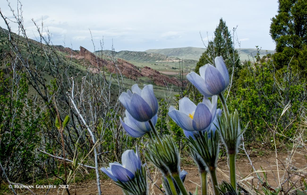
Turkey Trot Trail – Castle Trail – “The Castle” – Should you be interested in just visiting the ruins of Walker’s mansion, you can undertake this seven-mile round-trip hike following the Turkey Trot Trail in combination with the Castle Trail. (You can shorten the hike by one mile if you take the Castle Trail all the way in both directions – I would not recommend this due to the presence of bikers the entire way.) The net elevation gain for this hike is around 1,700 feet. In early spring you can find wildflowers along this trail, but they quickly disappear when the weather gets hot.
Most hikes from this western trailhead will be shorter and easier with far less elevation gain (or loss), unless you choose to start here and go down to the eastern trailhead only to return uphill. I don’t know why one would want to do that. Perhaps if you would just like to ride your bike the entire length of the Castle Trail by only going downhill, this might be a fun choice. But then you would need a car shuttle. Much of the park in this upper part consists of fairly level meadows.
Castle Trail – Walker’s Dream Trail – On this short round-trip hike of less than four miles you can visit both the “Summer White House” and Walker’s mansion. From the location of the “Summer White House” you can look back and see the mansion ruins between the trees. Total elevation gain and loss will be about 400 feet. This is an easy hike that almost anybody can do. I have even seen people pushing baby strollers on this one.
Castle Trail – Parmalee Trail – Tower Trail Loop – This 3.5-mile loop hike is a bit more strenuous and involves considerably more elevation gain and loss than any of the others from the western trailhead. But it is a fine hike that will take you on a trail that is not as frequently used as the others. In the process, you will get some views to the south and U.S. Highway 285 as well as across to Mount Evans and Mount Morrison. On the way, you will pass by the Tower Lookout as well as the Eagle Eye Shelter. Total elevation gain for this hike is around 700 feet.
As I have stated earlier, on a number of occasions I have hiked all of the trails in the park in a single day hike. I have always done that by starting at the east trailhead in Morrison; that would be easier since the final three miles of the hike are all downhill. The total elevation gain for this adventure is about 3,300 feet. Also, there are a couple of remote trails that see far less foot traffic – the Old Ute Trail and the Devil’s Elbow Trail. They are not tough but they involve approaches along other trails, from either trailhead. Certainly the easier approach is from the western trailhead, whence you can make the hike as short as four miles, depending on which trail variations you want to take. You can do that in combination with the Meadow Trail or the Tower Trail. The choices are there – all you have to do is decide how far you want to hike. The important thing about this park is that you can concoct just about any combination of routes you like – that’s why Mount Falcon Park is a favorite of the locals.
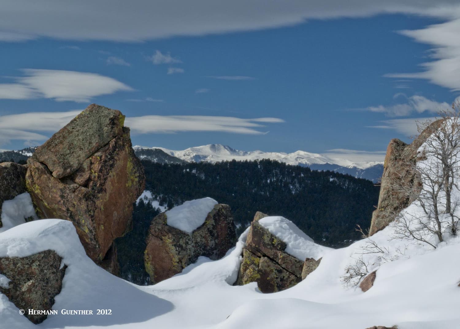
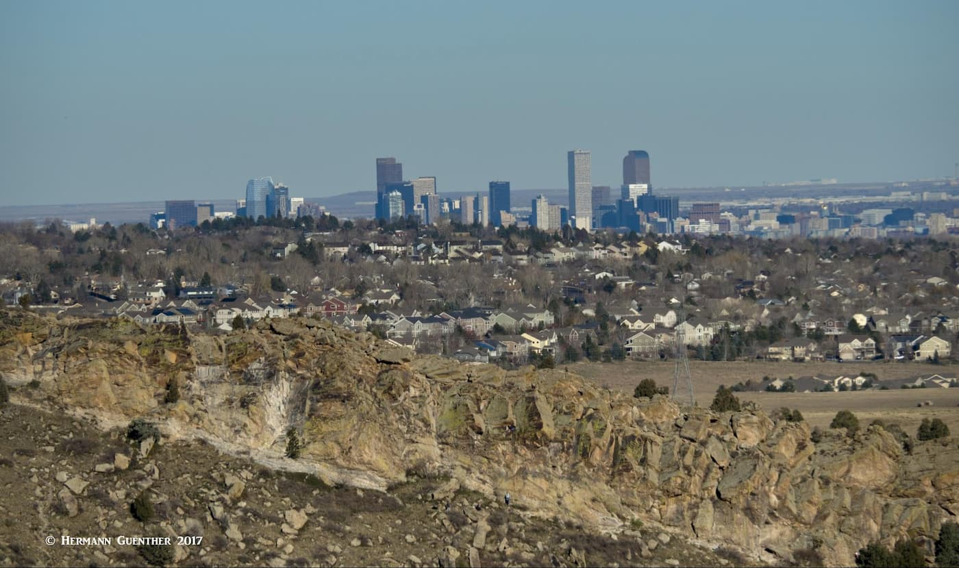
The fact that this park is right at the doorstep of the entire Denver Metropolitan area, means it can be reached by almost anyone in a short time. The park is mostly used by locals (and perhaps guests of nearby residents). The Denver area has everything that visitors from elsewhere could want. From parts of the park you might even see where you live or where you are staying if from out of town. Certainly on a clear day (which is most of the time) you can see the skyscrapers of downtown. For a photo like the one below, you would need an extra long lens.
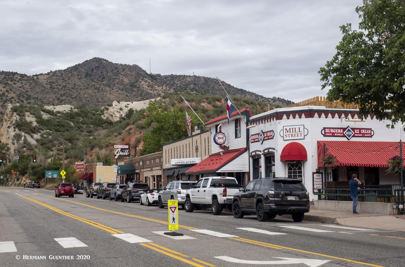
What you might want to do, if you are new to the area, is to visit the small town of Morrison – the old historic part. It has really only two streets – Highway 74 (Morrison Road) and Highway 8. Morrison Road has a number of shops, boutiques, restaurants and bars. The latter are popular hangouts for the locals – especially the historic Morrison Inn, a Mexican restaurant that prides itself on its award-winning margaritas. Make sure you have a designated driver if you plan to indulge. The small Morrison Police Department are always on the prowl for perpetrators. And sober or not, don’t ever let yourself creep even remotely above the speed limit.
Morrison is also the home of Red Rocks Park and Amphitheater, although the latter is entirely owned by the City of Denver. This park has many hiking trails of its own, but climbing any of the rock formations is strictly prohibited. The amphitheater is worth visiting not just for concerts, which are usually at night, but also for simply gawking at this magnificent facility. It is usually open to the public free of charge when there is no event going on. The view from the upper back rows across the city toward downtown Denver is dramatic – day or night.
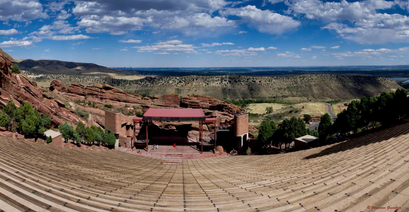
In addition, under the upper plaza is a museum, restaurant, gift shop (naturally!) and a lecture hall/theater which presents a film about the history of Red Rocks. The museum has a unique display that lists all of the celebrities that have performed here, by year, since the very beginning of the amphitheater – 1906. The Beatles performed here on August 26, 1964, and seats were $6.60. It was not sold out! Ringo Starr later recalled that they had to have occasional hits from oxygen canisters because of the thin air in Morrison. But it’s not just pop and rock stars that have performed here – this is also a venue for classical performances and other more benign music. We saw Yanni perform live here – that was a treat!
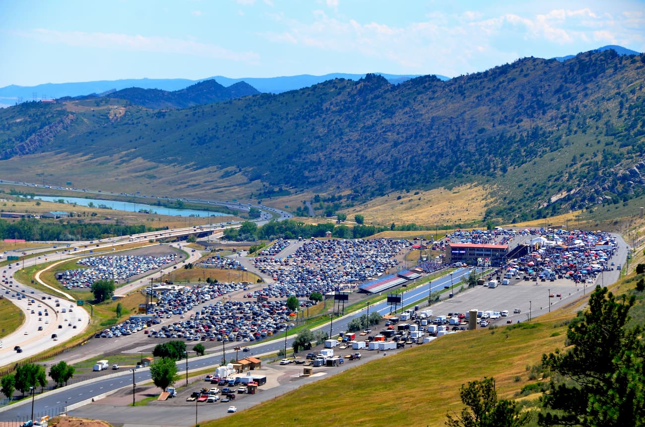
Just off Morrison Road at the east end of town is the Bandimere Speedway – a drag racing venue tucked up against the foothills. It is considered the best motorsport entertainment facility in the Rocky Mountains. When they fire up the fuel-burning jet dragsters, that reach 300 miles per hour on this quarter-mile track, we can hear them very well at home. They are so loud that you can feel the noise vibrations in your chest, even at home. No wonder they call the hill behind it Thunder Mountain. This track is one of the major stops on the international racing circuit. The Mile High Nationals are a signature event each summer.
Explore Mount Falcon Park with the PeakVisor 3D Map and identify its summits.


